US Map / Printable US Maps
Printable US Maps
Every map on this site as a clean, print-ready file. All maps are vector (SVG and PDF), so they print sharp at any size, from a worksheet to a wall poster.
Country maps
| Map | Best for | Files |
|---|---|---|
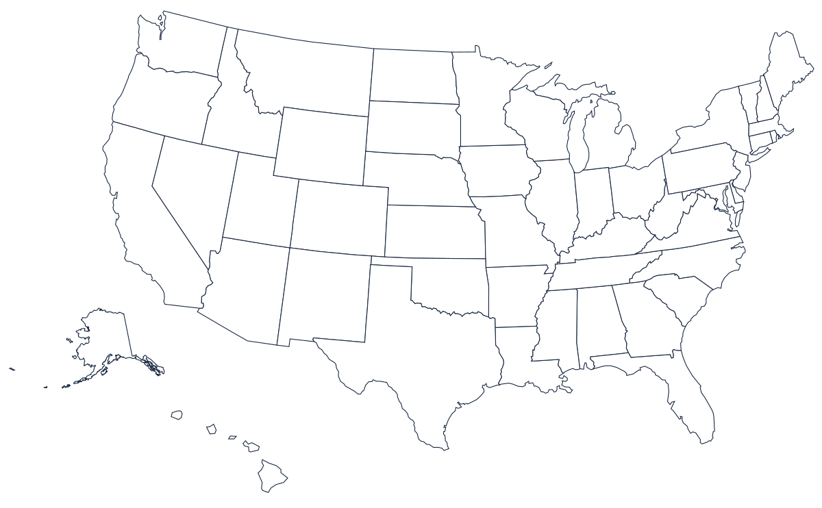
| Blank map, state borders | Labeling tests, coloring | SVG · PDF |
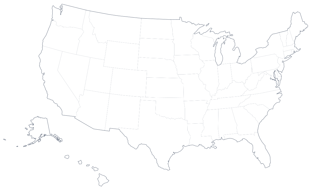
| Blank outline, no borders | Drawing borders, thematic maps | SVG · PDF |
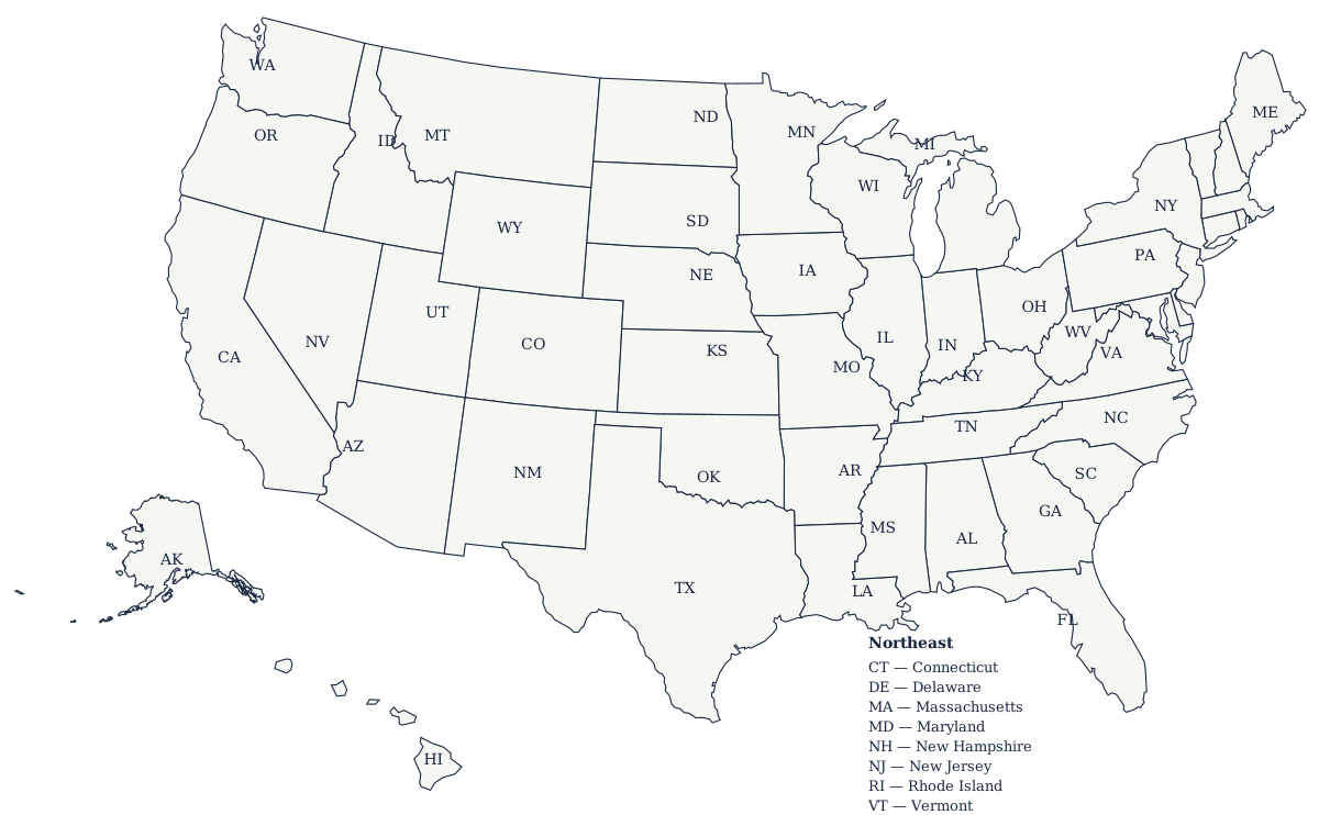
| Labeled map with state codes | Reference, answer key | SVG · PDF |
| Map with capitals | Capitals study | interactive + table |
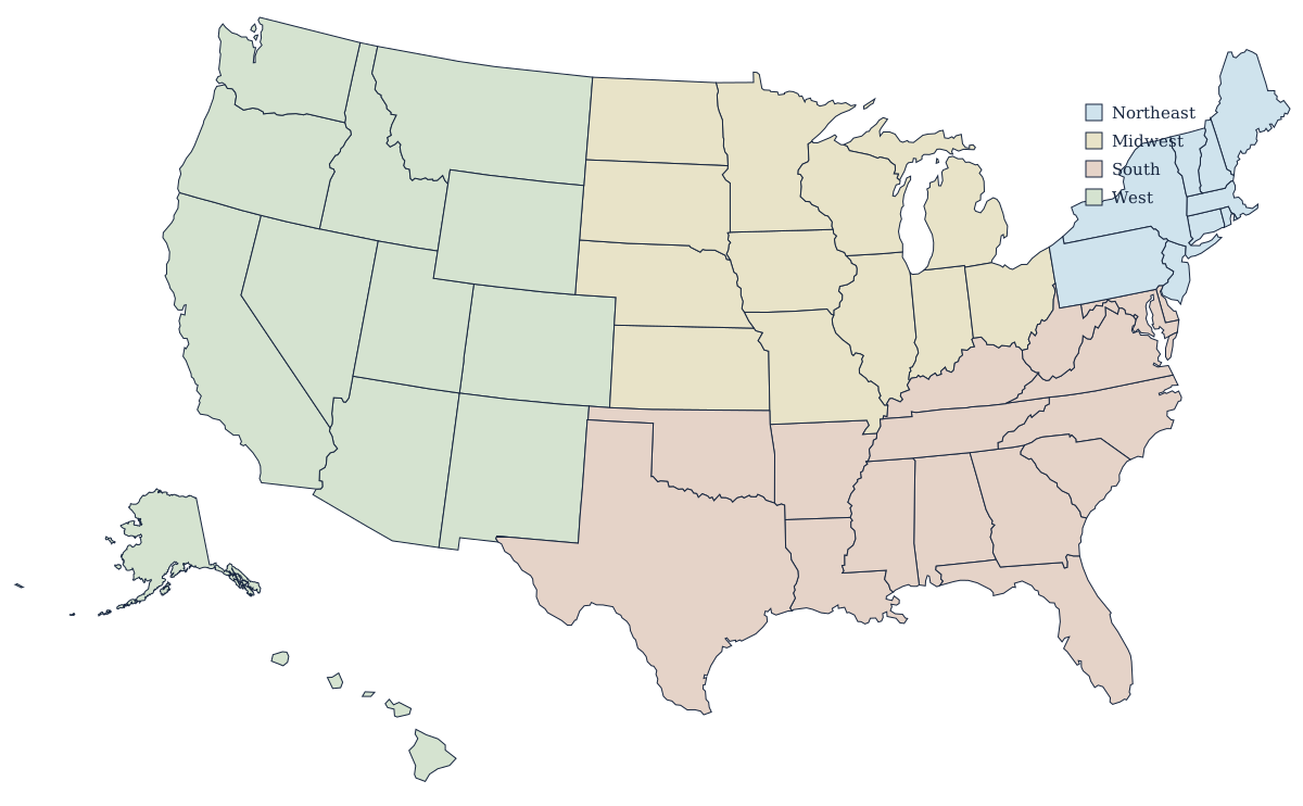
| Regions map | Regions and divisions | SVG |
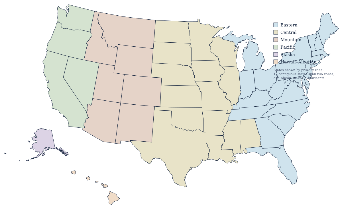
| Time zones map | Time zone reference | SVG |
Printing guides
- Letter and A4 printing — orientation, scale settings, margins and greyscale.
- Poster printing — tiling a vector map across sheets, A1 and A2, print shops.
- Classroom worksheets — blank map, answer key, and a lesson sequence that works.
State outline maps
Every state has a blank outline drawn at its own scale rather than cropped out of the national map, so a small state fills the page instead of a corner of it. There is a county-line version of the same shape too, drawn from the same boundaries — the outline is exactly the union of the county lines — and it sits on that state's page in the county map index. Both are SVG and both print full-page:
- Alabama
- Alaska
- Arizona
- Arkansas
- California
- Colorado
- Connecticut
- Delaware
- Florida
- Georgia
- Hawaii
- Idaho
- Illinois
- Indiana
- Iowa
- Kansas
- Kentucky
- Louisiana
- Maine
- Maryland
- Massachusetts
- Michigan
- Minnesota
- Mississippi
- Missouri
- Montana
- Nebraska
- Nevada
- New Hampshire
- New Jersey
- New Mexico
- New York
- North Carolina
- North Dakota
- Ohio
- Oklahoma
- Oregon
- Pennsylvania
- Rhode Island
- South Carolina
- South Dakota
- Tennessee
- Texas
- Utah
- Vermont
- Virginia
- Washington
- West Virginia
- Wisconsin
- Wyoming
Print settings that work
Use landscape orientation for the country maps and 100% scale ("actual size") rather than "fit to page" — the maps are already proportioned for US Letter and A4. For black-and-white printers, the blank and labeled maps are pure line art and need no adjustment. Teachers reproducing class sets: everything here is free for classroom use, no attribution required.
Why these files are SVG
An SVG stores the boundary as coordinates rather than pixels, so the same file prints crisply on a worksheet and on a wall poster, and the whole US map is a few tens of kilobytes instead of several megabytes. Every modern browser opens one directly, every vector editor can recolour or relabel it, and nothing degrades when you scale it up. The PDFs offered alongside are the same geometry in a format that prints identically from any device. The maps are generated from public-domain Census Bureau boundary files, so nothing here is traced clip art.
Choosing the right map
For a labeling test, take the blank map with borders. For drawing borders from memory, take the outline with no internal lines. For an answer key, the labeled map. For a single state, its blank state outline — drawn at that state's own scale, not cropped out of the national map, so a small state fills the page instead of the corner. For thematic work, start from the regions map or the time zones map and shade over them.