US Map / Blank US Map / Connecticut
Blank Connecticut Map
Connecticut is a rectangle with two colonial-era dents in it — one pushed in from Massachusetts, one pushed out toward New York.
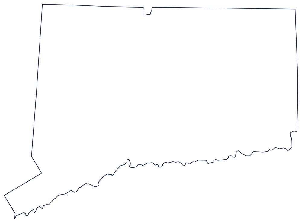
Two border oddities on a small sheet
At this scale most of Connecticut's outline is straight. The northern boundary with Massachusetts is a surveyed line, the eastern boundary with Rhode Island is another, and the southern edge is the shore of Long Island Sound — a sheltered coast, because Long Island itself lies across the water and takes the ocean swell.
The two exceptions are what students should be looking for. Near the middle of the northern line a small square of Massachusetts drops down into Connecticut: the Southwick Jog, left over from a badly run seventeenth-century survey and never corrected. And at the southwestern end the state does not stop where the New York line would suggest. Instead a narrow panhandle continues down the Sound to Greenwich, a strip Connecticut kept in exchange for the inland tract known as the Oblong. Both are small, both survive on modern maps, and both are usually the first thing a careful tracer notices.
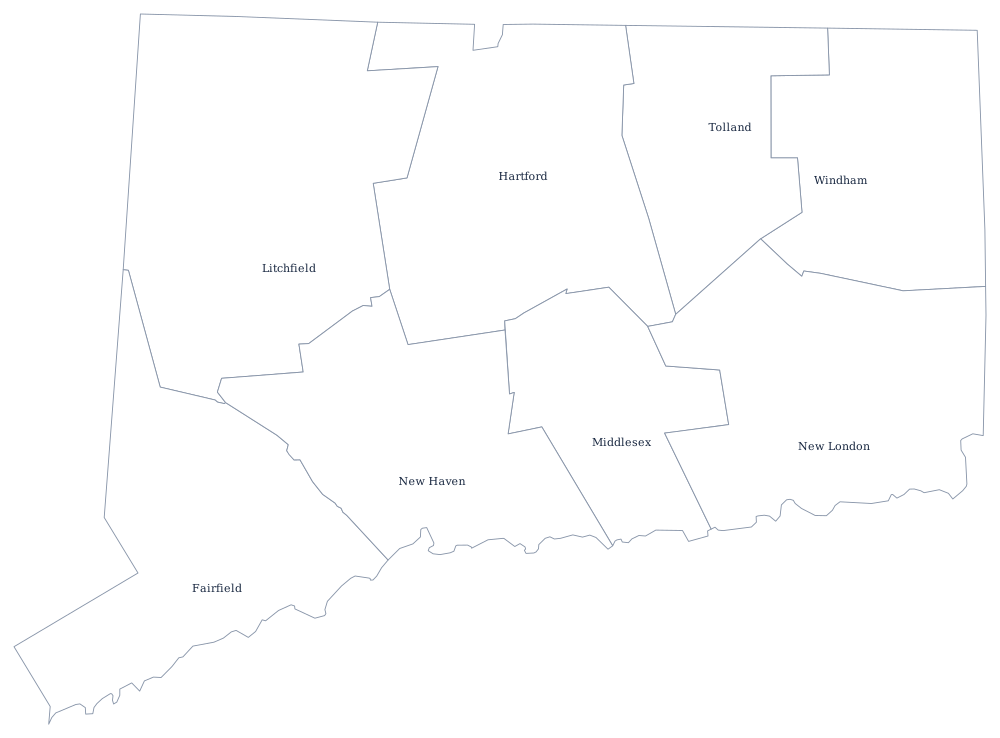
The Connecticut River crosses the state from the northern line to the Sound at Old Saybrook, but here it is an interior feature, not a boundary — it only serves as a border further north, between Vermont and New Hampshire. Connecticut's eight counties no longer run local government; the Connecticut county map explains what replaced them, and the Connecticut state page covers the cities along the Sound. Print the neighbors too: Rhode Island, Massachusetts and New York. The full set is on the printable blank map page, and the small New England states are the whole point of the Northeast quiz.