US Map / Blank US Map / Arizona
Blank Arizona Map
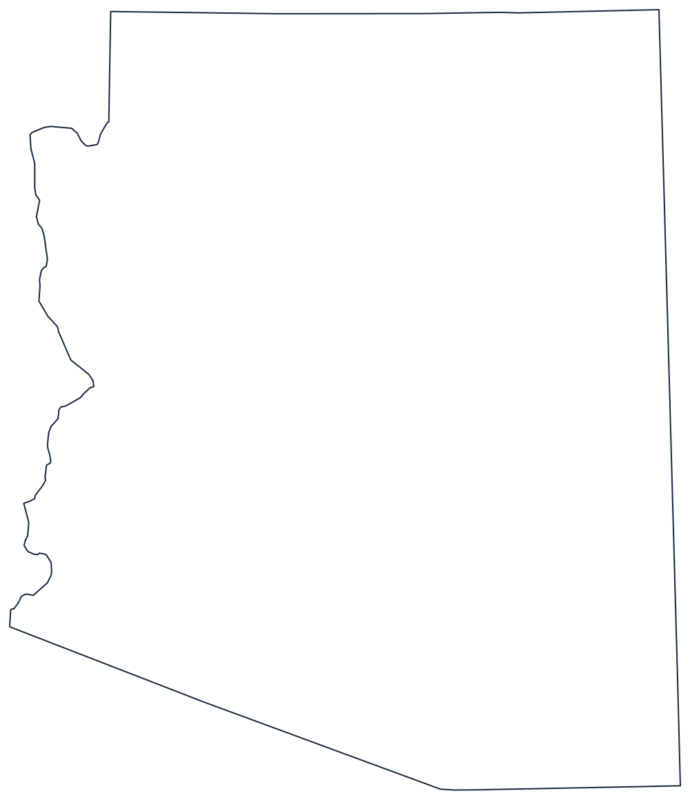
Arizona is a rectangle with one side missing: the Colorado River ate the western edge and left it ragged all the way to Yuma.
Why Arizona has one crooked side
Three of Arizona's four boundaries are surveyor's work. The north is the 37th parallel, shared with Utah and ending at the Four Corners — the only point in the country where four states meet. The east is a meridian run south from that corner, separating Arizona from New Mexico. The south is the Gadsden Purchase line of 1853, a shallow set of straight segments that put Tucson and the southern rail route inside the United States.
The west is the exception. From the Nevada line down to the Mexican border the boundary is the Colorado River, so the left side of the outline bends through Lake Mead, past Bullhead City, and around the big meander at Yuma. Above that, the short diagonal to the northwest corner is Arizona's line with Nevada, and the block of land north of the Grand Canyon that it cuts off is the Arizona Strip.
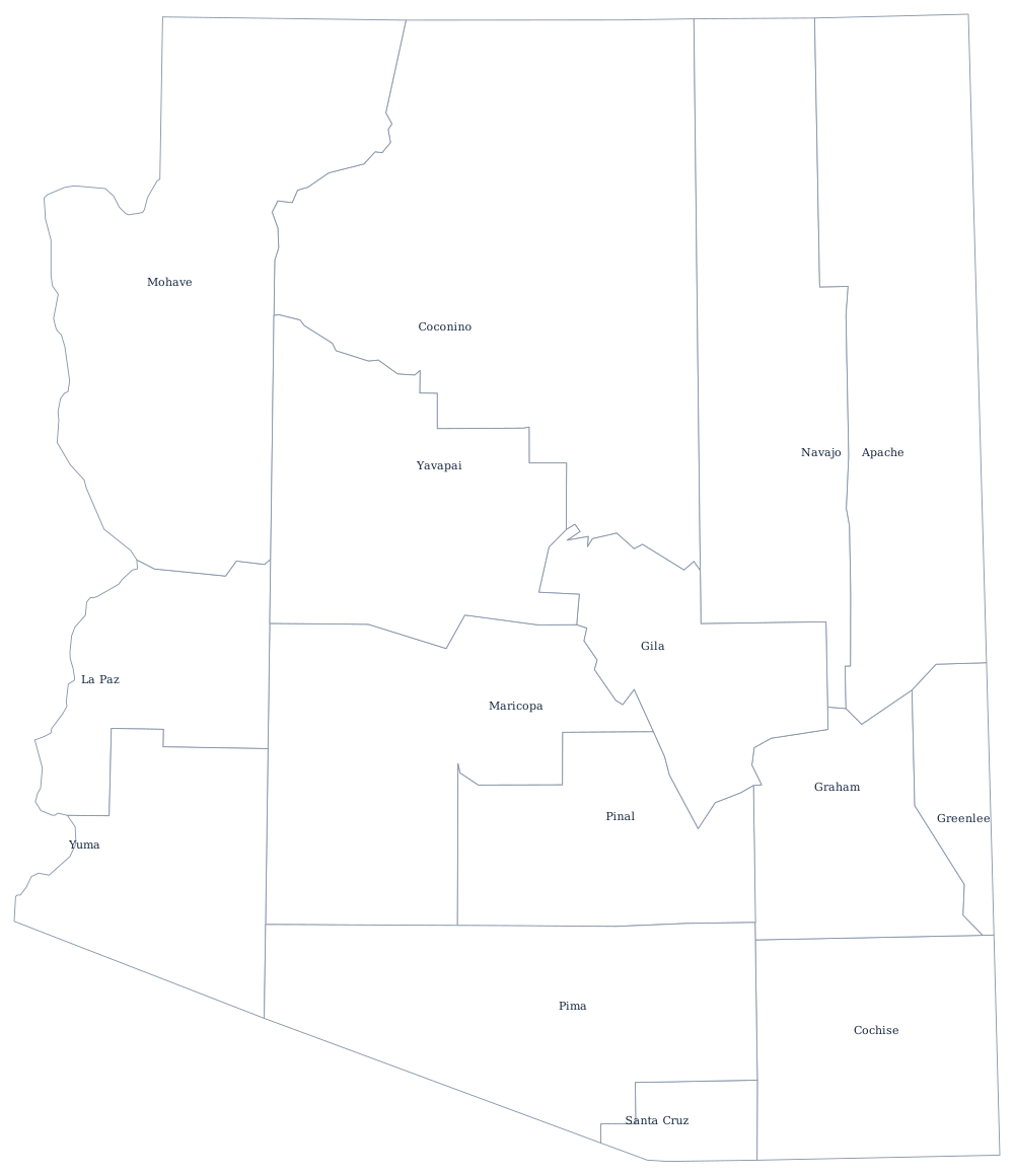
Because the state has only 15 counties, the Arizona county map is one of the emptiest county sheets in the country and prints well beside the outline. Background on the canyon country and the desert basins is on the Arizona state page. The states that share those straight lines — Utah, New Mexico and Nevada — are worth printing together, and the whole set is listed on the printable blank map page. Test the Four Corners block in the Western states quiz.