US Map / Blank US Map / Idaho
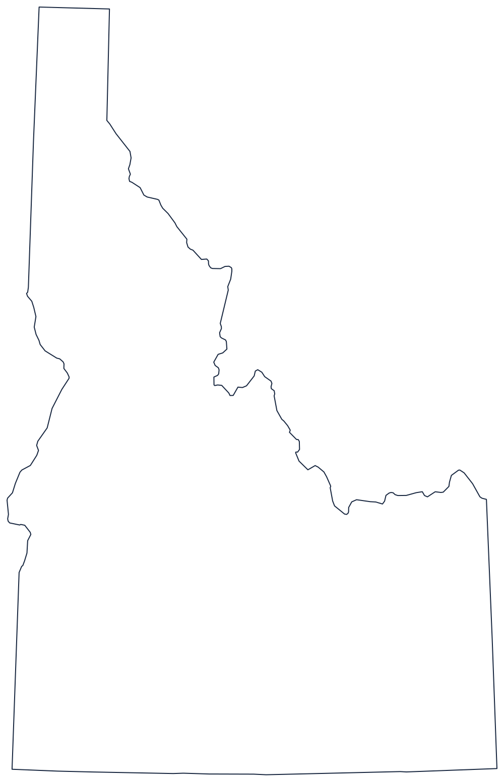
Blank Idaho Map
Idaho is the only state whose eastern border is a mountain range, a survey line and a river gorge stacked one above the other.
Why the top of Idaho is so thin
The panhandle is the first thing anyone notices. North of the Salmon River country the state narrows to a strip roughly 45 miles wide, squeezed between Washington on one side and Montana on the other, and runs up to the 49th parallel at the Canadian border. It is narrow because two different kinds of boundary close in on it: a straight meridian on the west, and the crest of the Bitterroot Range on the east.
That eastern crest is what makes Idaho unusual. From the panhandle's southern end down to the Wyoming corner, the border with Montana abandons survey lines and follows the continental drainage divide along the mountain tops, so it wanders east and west with the terrain. Below it the line straightens into the meridian shared with Wyoming, and the southern boundary with Nevada and Utah is the 42nd parallel, ruled flat across.
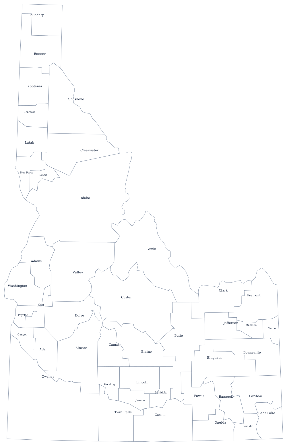
The western side is drawn twice. A straight line runs north through the desert, then the Snake River takes over and carries the Oregon boundary through Hells Canyon, the deepest river gorge in North America. The Snake also loops through the state's southern plain before it gets there. The 44 counties are on the Idaho county map, and the Idaho state page covers the mountains and the Snake River Plain. Print Montana, Oregon and Washington to see the panhandle from either side, or use the blank US map hub. Idaho trips people up in the Western states quiz.