US Map / Blank US Map / Ohio
Blank Ohio Map
Ohio's northern and southern edges look nothing alike: a lake shore across the top, and along the bottom a river the state does not legally own.
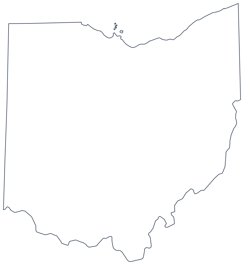
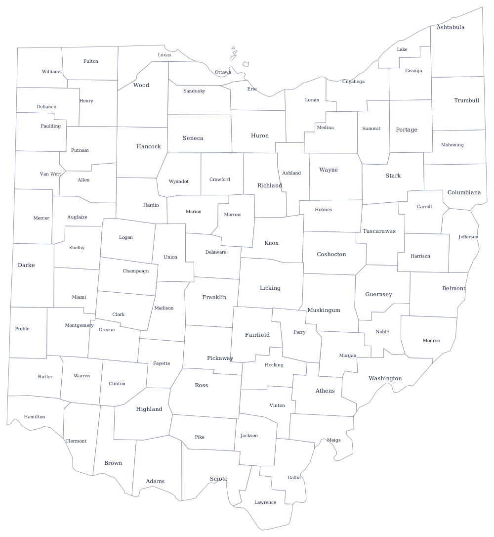
A lake, a river, and two survey lines
The southern boundary is the Ohio River for its entire length, from the Pennsylvania corner past Cincinnati to the Indiana line. It is worth telling a class that Ohio does not own any of it: Kentucky's boundary reaches the low-water mark on the northern bank as it stood in 1792, so the state line is the Ohio shore, not the middle of the channel. The river bends constantly, which is why the bottom of the outline is the hardest part.
The northern boundary is Lake Erie, running from the Pennsylvania line west past Cleveland and Sandusky Bay to the Michigan corner at Toledo. Between the lake and the Indiana line the boundary with Michigan is a straight surveyed line, and it tilts slightly upward to the east — the settlement of the Toledo Strip dispute, which gave Ohio the port and gave Michigan its Upper Peninsula instead.
The remaining two sides are plain meridians: one against Pennsylvania in the east, one against Indiana in the west, both run from the Ohio Country surveys that laid the township grid across the whole interior.
Ohio has 88 counties — the Ohio county map prints them all — and Columbus, the lake ports and the Appalachian southeast are on the Ohio state page. The neighbors to print are Indiana, Pennsylvania and West Virginia, whose northern panhandle presses against Ohio's eastern line. Everything else is on the printable blank map page, and the Midwest quiz tests the same borders.