US Map / Blank US Map / Alabama
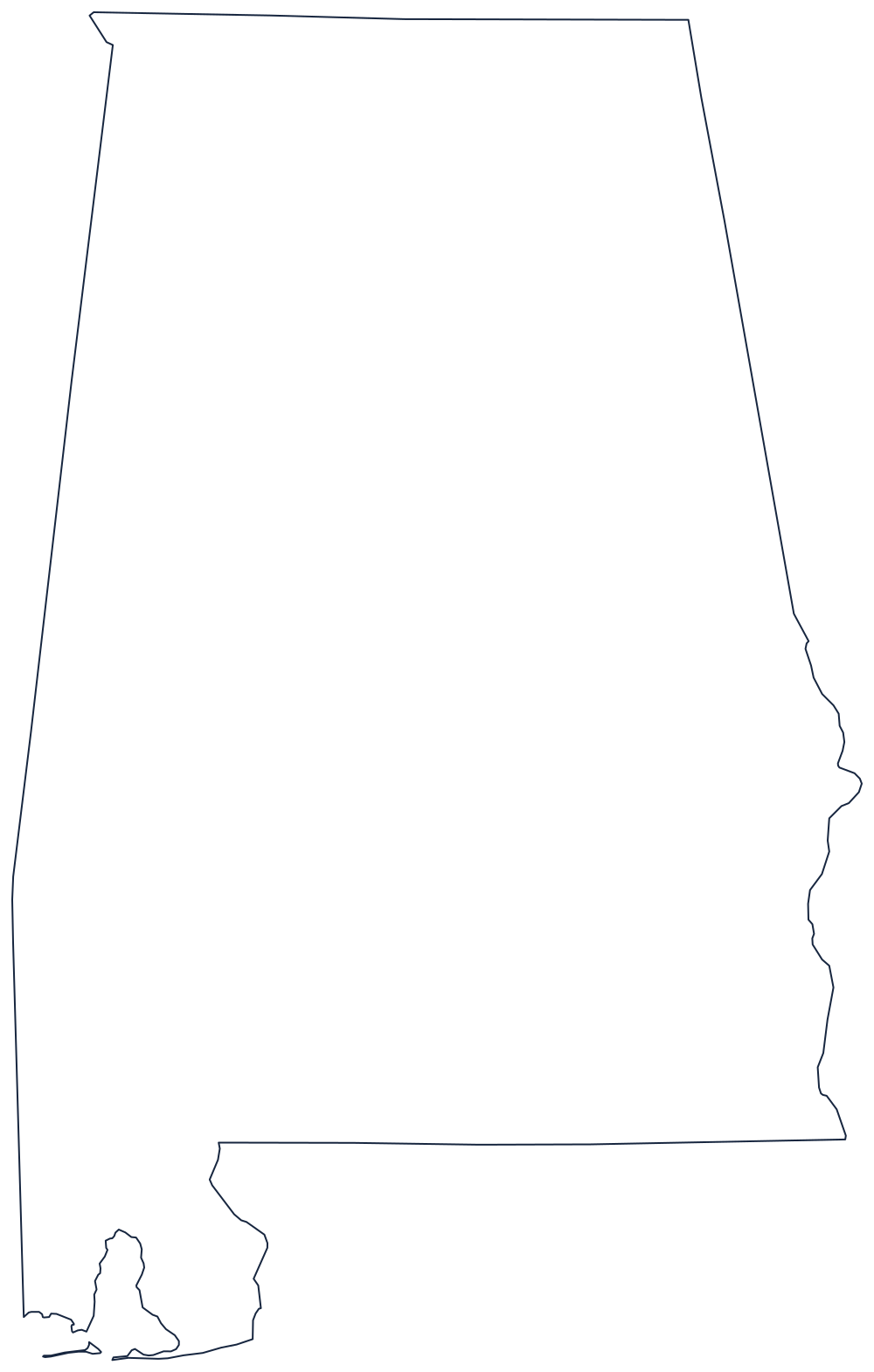
Blank Alabama Map
Alabama is three ruled lines and one river: the Chattahoochee does all the bending, and the rest was drawn with a straightedge.
What Alabama's border actually follows
The top of the state is the 35th parallel, the surveyed line that separates Alabama from Tennessee and runs on unbroken to Mississippi in one direction and Georgia in the other. The western side is a meridian dropped south from that corner; the southern side sits on the 31st parallel, the old boundary of West Florida, before switching to the Perdido River at the southwestern end.
Only the eastern side was drawn by water. Below West Point the Chattahoochee River takes over and wanders south to the Florida corner, which is why the right-hand edge of the outline is soft and irregular while the left-hand edge is a ruler. Above the river the line runs straight up to the northeast corner.
The other feature worth pointing out to a class is the small bite at the bottom. Alabama's Gulf frontage is short — a wedge on either side of Mobile Bay, closed off by the low barrier of Dauphin Island — and it exists only because the state was given a corridor to the sea between Mississippi and Florida.
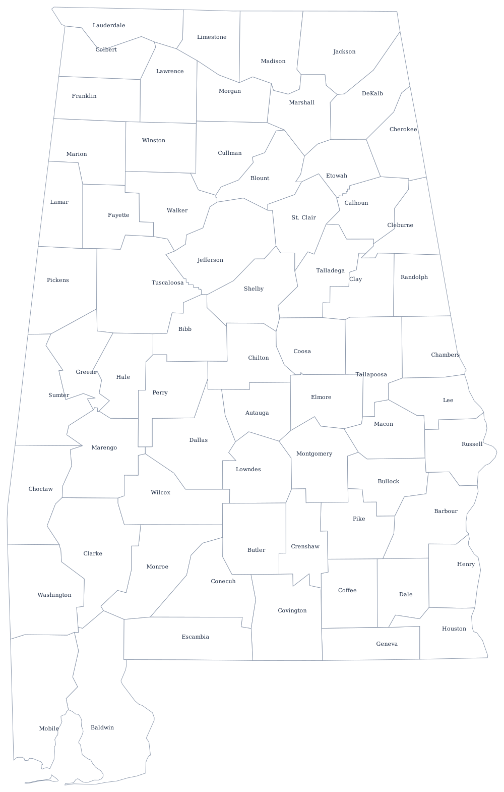
Once the outline is labeled, fill the interior from the Alabama state page, or print the 67 county lines from the Alabama county map. The neighbors print the same way: Mississippi, Georgia and Tennessee. Every other outline is indexed on the index of all fifty outlines, and the Southern states quiz drills the same borders on screen.