US Map / Blank US Map / Oregon
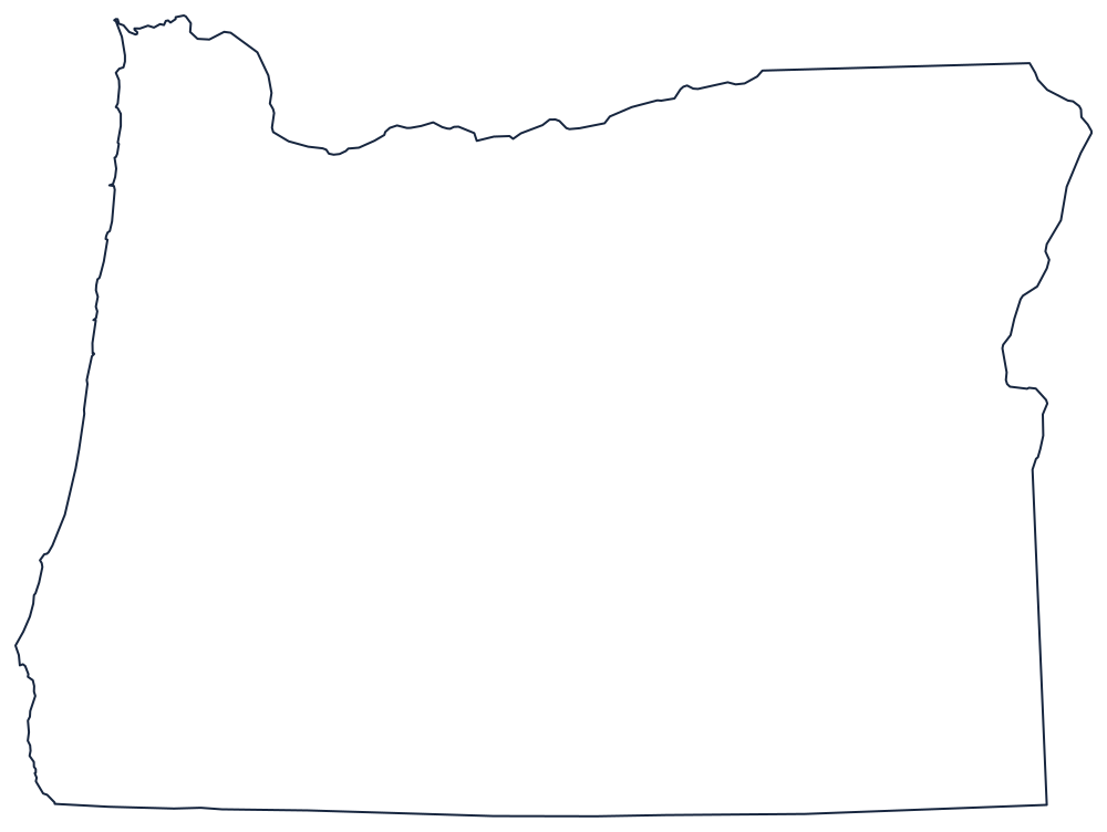
Blank Oregon Map
Oregon has a river along the top, a river down part of the right side, an ocean on the left and a ruled line across the bottom — four boundaries, four rules.
Rivers above, a ruler below
The northern boundary is the Columbia River, from the Pacific at Astoria upstream past Portland and through the gorge, as far as the point near Wallula where the river turns north into Washington. From there the line leaves the water and runs east on the 46th parallel to the Snake River. That is why the top of the outline is a deep curve on the left and a straight segment on the right.
The eastern boundary takes over from the Snake, which carries the line south through Hells Canyon and past the Idaho farm country until, near Nyssa, the boundary leaves the river and drops straight down the 117th meridian to the corner. The southern boundary is the 42nd parallel, run without a break across California and Nevada — the old line between American and Spanish claims, settled in 1819.
The west is 360 miles of Pacific coast, remarkably smooth by American standards: no large bays, no offshore islands to speak of, and only the estuaries of the Columbia, Tillamook Bay and Coos Bay to interrupt it.
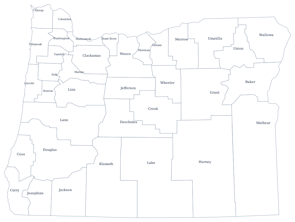
Oregon has 36 counties, several of them larger than small states — see the Oregon county map — and the Cascades, the Willamette Valley and the high desert are on the Oregon state page. Print Washington for the far side of the Columbia, then Idaho and California. The index is on the index of all fifty outlines, and the Western states quiz covers the Pacific block.