US Map / Blank US Map / Illinois
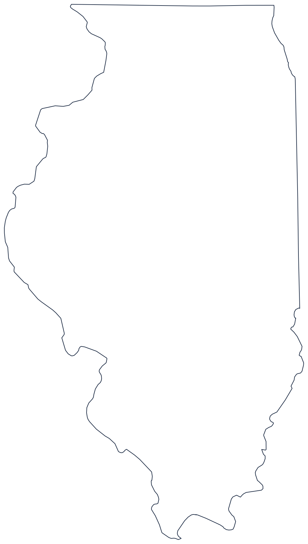
Blank Illinois Map
Three rivers draw Illinois and a single political decision squared off the top, handing the state its corner of Lake Michigan.
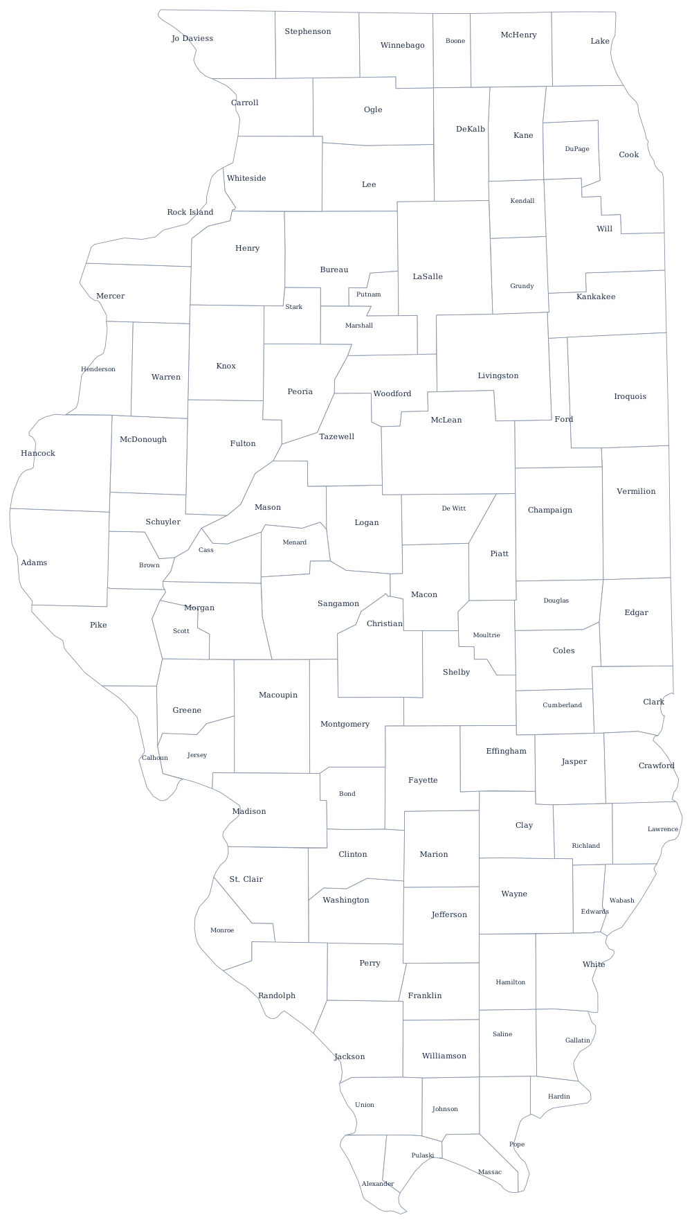
A state with rivers on three sides
The western boundary is the Mississippi River, all the way from the Wisconsin line to the state's southern tip. The southern boundary is the Ohio River, running east from that tip at Cairo — the point where the two largest rivers in the system meet, and the lowest place in the state. The southeastern boundary is the Wabash, which separates Illinois from Indiana until the survey line takes over and runs north.
Only the top of the outline is arbitrary, and it is the most consequential line on the sheet. The Northwest Ordinance would have put the northern boundary at the southern tip of Lake Michigan, leaving Illinois landlocked. When the state was admitted in 1818 the line was pushed some fifty miles north to 42°30′, which is why the map has a squared shoulder along Wisconsin and a short but decisive frontage on Lake Michigan — the frontage Chicago was built on.
The result is a long, narrow state: the distance from Cairo to the Wisconsin line is greater than most people expect from the shape, and the southern tip reaches further south than Richmond, Virginia. Illinois has 102 counties, drawn on the Illinois county map, and the prairie, the coalfields and Chicago are covered on the Illinois state page. The river borders are best understood in pairs, so print Missouri, Indiana and Wisconsin. Everything else is on the blank US map hub, and the Midwest quiz puts the same outlines on a clickable map.