US Map / Blank US Map / Alaska
Blank Alaska Map
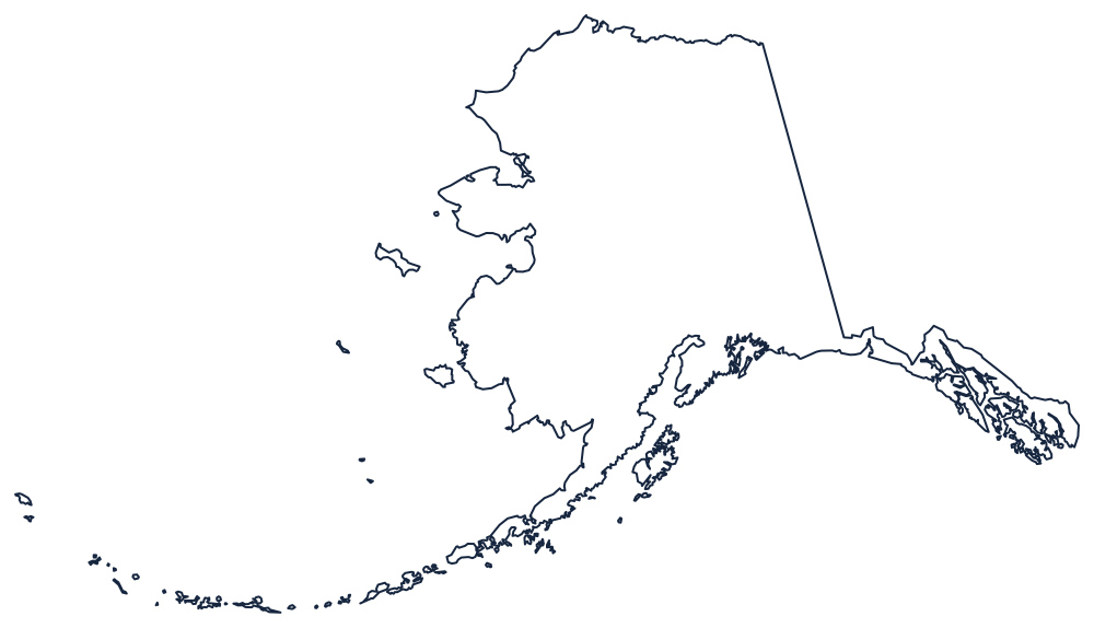
No other state outline asks a student to draw a straight line, a fjord coast and a thousand-mile island chain on the same sheet.
Reading the Alaska outline
The eastern boundary is the cleanest line in American geography: the 141st meridian, running dead north from the Gulf of Alaska coast to the Arctic Ocean. Everything else on the sheet is coast. South of that meridian the border swings west and becomes the southeast panhandle — a ribbon of mainland and islands held between the Coast Mountains and the sea, reaching down past Juneau to Dixon Entrance.
Three shapes carry the rest of the outline. The Alaska Peninsula tapers southwest into the Aleutian Islands, which run so far out that the chain crosses the 180th meridian; on most projections the far islands have to be drawn separately or the map runs off the page. The Seward Peninsula pushes west toward the Bering Strait. And the north coast runs almost flat along the Beaufort Sea, broken only by Point Barrow.
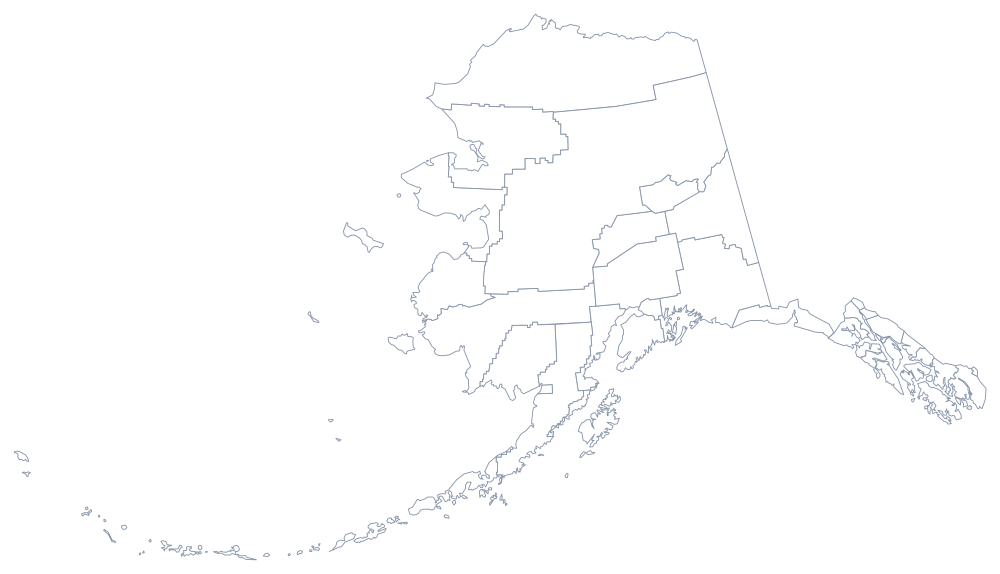
Alaska has no bordering state, so there are no internal survey lines to draw and nothing to compare with a neighbor. Instead of counties it is divided into boroughs and unorganised census areas, which is why the Alaska borough map looks nothing like a Midwestern grid. Details on settlement and physical geography are on the Alaska state page. For an outline with neighbors to fit against, try Washington or Hawaii, the other two states off the contiguous grid, or start again at the blank US map hub. Alaska is a regular in the easiest states quiz.