US Map / Blank US Map / Utah
Blank Utah Map
Utah would be a rectangle if Wyoming had not been drawn first and taken a square block out of its northeastern corner.
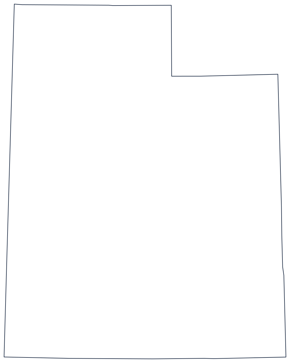
The notch, and the four lines around it
Every one of Utah's boundaries is a survey line — there is not a mile of river or coast on the sheet. The north is the 42nd parallel against Idaho, the old line between American and Spanish claims. The south is the 37th parallel against Arizona, ending at the Four Corners, the only point where four states meet. The east is the 109th meridian against Colorado, and the west is the 114th meridian against Nevada.
That would make a clean rectangle, and the whole interest of the outline is the reason it is not one. Wyoming had already been laid out as its own rectangle between the 41st and 45th parallels, so where the two overlap Utah loses a block roughly a hundred miles across from its northeastern corner. Drawing that notch square, and in the right place, is the only real test in copying Utah.
Inside the boundary the Great Salt Lake sits in the northwest with the salt flats running west of it to the Nevada line, and the Colorado and Green rivers cut the canyon country of the southeast — the features to label once the border is done.
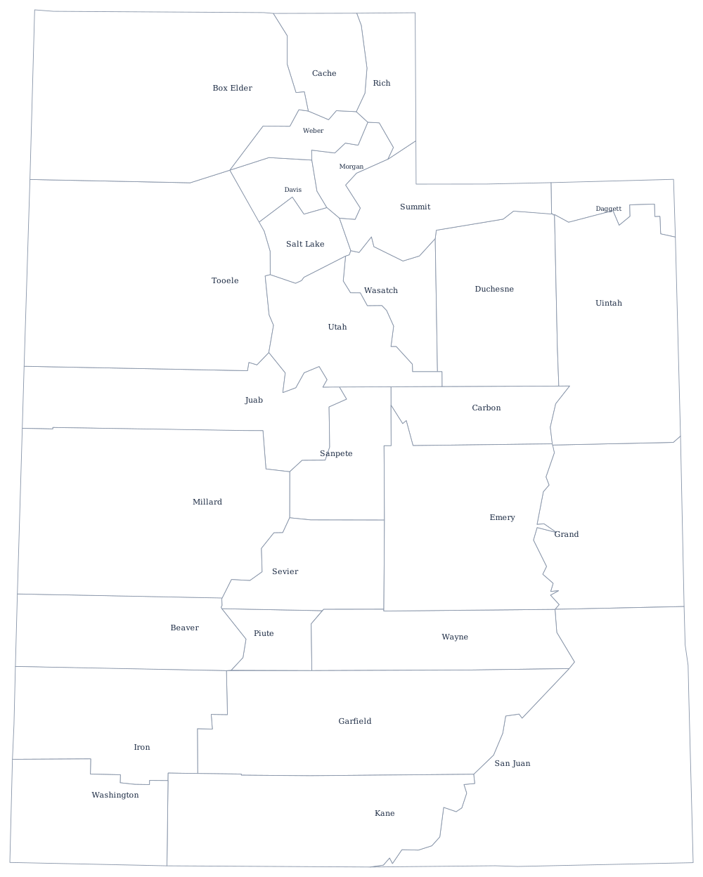
Utah's 29 county lines print from the Utah county map, and the Wasatch Front, the Uinta Basin and the redrock south are on the Utah state page. Print Wyoming to see the notch from the other side, then Colorado and Arizona for the Four Corners. The rest are on the blank US map hub, and the Western states quiz tests the same rectangles.