US Map / Blank US Map / South Dakota
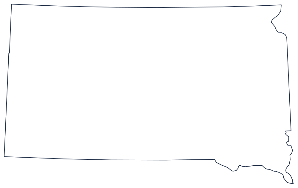
Blank South Dakota Map
South Dakota is a box that the Missouri River cuts diagonally in half, and locals still name the two halves East River and West River.
A box, and the river inside it
The northern boundary is the seventh standard parallel of the public land survey, near 45°56′ — not a round number, but the township line Dakota Territory was already laid out from when it was split in two in 1889. The southern boundary is the 43rd parallel against Nebraska, until it reaches the Missouri River, which then carries the line southeast to the Iowa corner. The western boundary is the meridian at 104°03′, shared with Wyoming and Montana.
The eastern edge is the only genuinely irregular one. From Big Stone Lake and Lake Traverse at the northeastern corner the line runs south as a straight survey line against Minnesota, then switches to the Big Sioux River, which meanders down to Sioux City and the junction with the Missouri.
Inside the outline, the Missouri enters from North Dakota, runs south past Pierre and then swings southeast — a diagonal that separates the tilled glacial plains of the east from the ranch country, the Badlands and the Black Hills of the west. The Black Hills sit against the Wyoming line in the southwestern corner and are the one piece of high ground on the sheet.
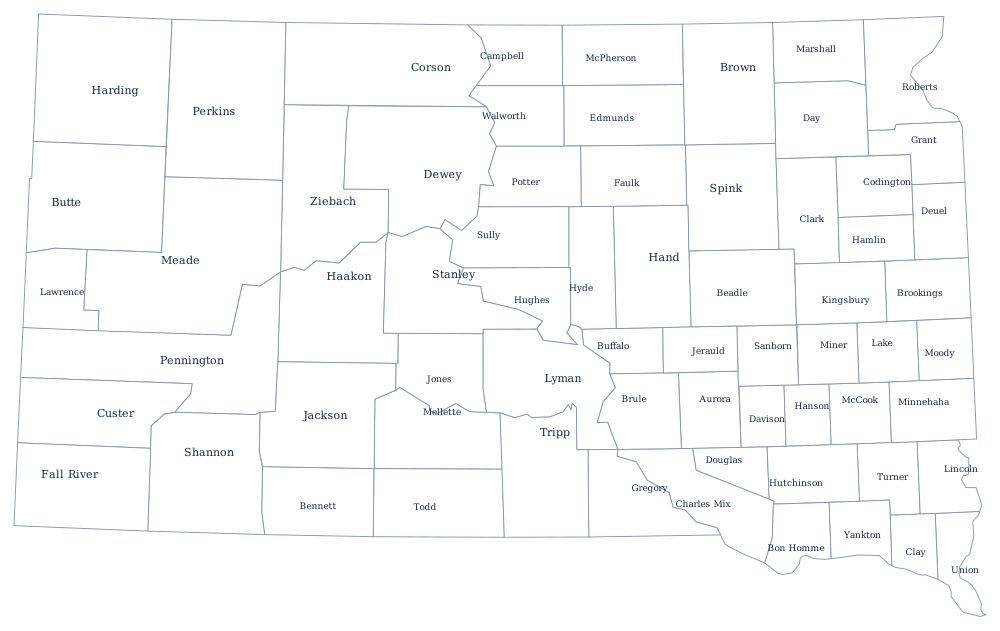
All 66 county lines print from the South Dakota county map, and the Black Hills, the reservations and Sioux Falls are on the South Dakota state page. Print North Dakota above it, then Nebraska and Wyoming. The index is on the index of all fifty outlines, and the Midwest quiz asks for the same states by shape.