US Map / Blank US Map / Maryland
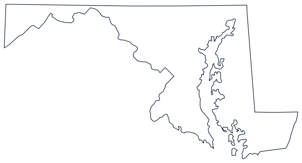
Blank Maryland Map
Maryland is the most awkward state to draw: a bay splits it in two and a panhandle narrows to under two miles near Hancock.
Why the shape is so hard to copy
The northern boundary is the Mason–Dixon Line, run in the 1760s to settle the Penn and Calvert dispute and later treated as the divide between North and South. It is straight and it is long, which makes the contrast with the southern boundary all the sharper: the Potomac River, whose every bend Maryland traces, because the state's territory extends to the low-water mark on the Virginia and West Virginia bank. Maryland owns the river.
Between the two, near Hancock, the state pinches to less than two miles from the Potomac to the Mason–Dixon Line — the narrowest waist of any state, and the detail most often flattened out in hand-drawn copies. West of there the panhandle continues to the Fairfax Stone at the head of the North Branch Potomac, where a north–south line closes the western end.
Chesapeake Bay does the rest. It cuts north almost to the Pennsylvania line, separating the Eastern Shore from the western counties, and the Eastern Shore itself is bounded by the straight transpeninsular and Mason–Dixon lines against Delaware and by the arc of the Twelve-Mile Circle at its top. There is also a square notch on the Potomac where the District of Columbia sits.
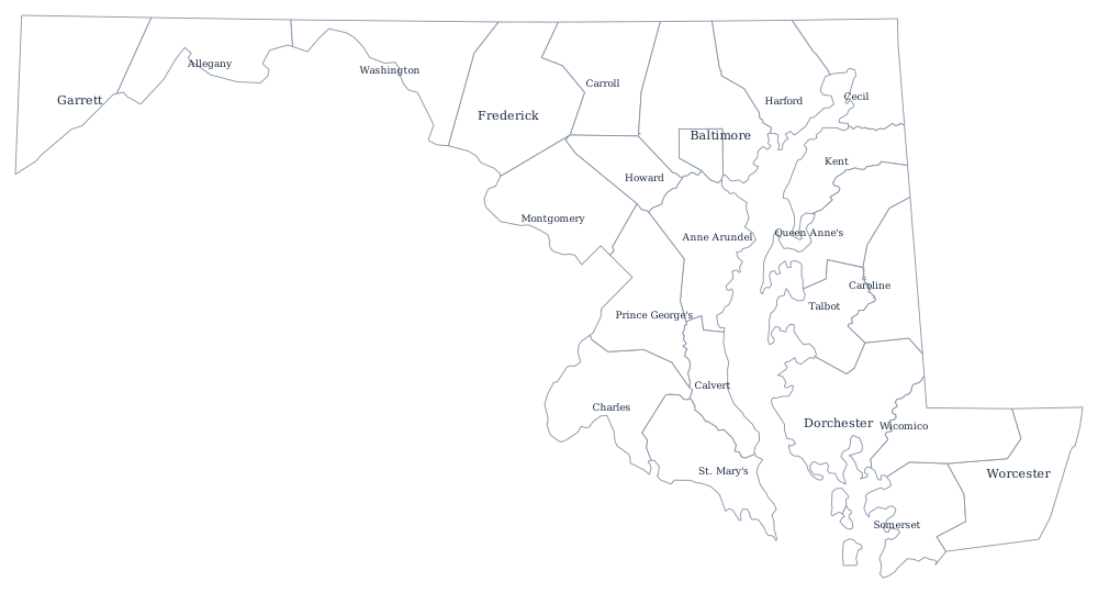
Maryland's 24 jurisdictions include Baltimore as an independent city — see the Maryland county map — and the Maryland state page covers the bay and the Appalachian west. Print Virginia, Delaware and Pennsylvania to complete the borders, or use the index of all fifty outlines. Maryland is a classic miss in the hardest states quiz.