US Map / Blank US Map / Colorado
Blank Colorado Map
Colorado is the easiest state to draw and the hardest to draw well: four straight lines, none of them quite as straight as they look.
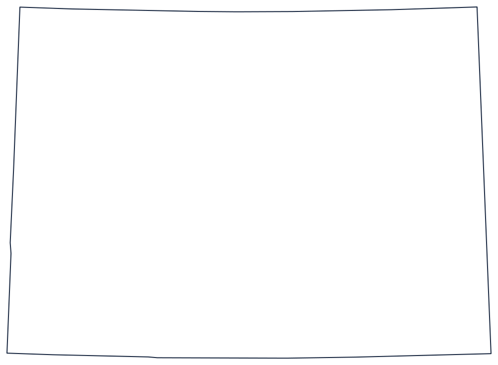
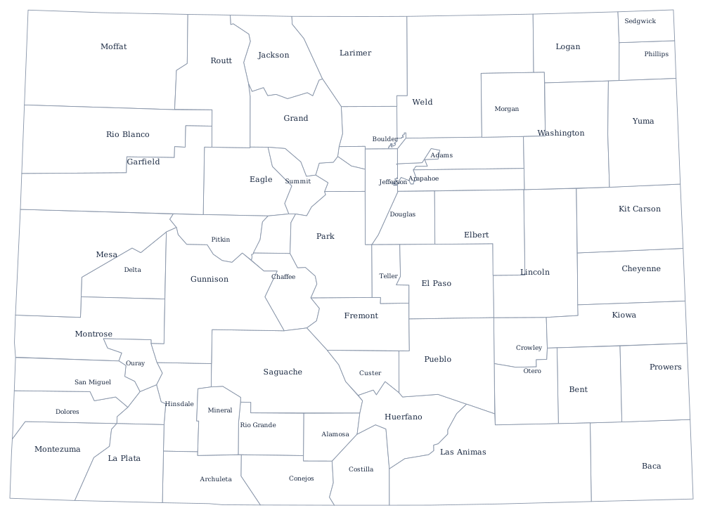
A rectangle, with footnotes
Colorado is one of only two states bounded entirely by surveyed lines. The south is the 37th parallel, the north the 41st; the east and west sides are meridians, set at 25 and 32 degrees west of the old Washington meridian rather than the Greenwich figures most atlases now print. Nothing on the sheet was decided by a river, a ridge or a coastline.
What makes the outline interesting is that the rectangle is not perfect. The boundary lines were run on the ground by separate survey parties working in rough country, and where crews met they rarely met exactly. The western line with Utah carries a visible jog where two surveys failed to close, and the corner monuments sit a little off the latitudes and longitudes they are named for. On a printed outline these offsets are small, but they are real, and they are the reason a "perfect rectangle" has kinks in it.
The southwestern corner is the Four Corners point, shared with Utah, Arizona and New Mexico. Because no border follows terrain, the Continental Divide and the Front Range run through the middle of the shape instead of around its edge — see the Colorado state page for those, and the Colorado county map for the 64 county lines. Print Wyoming above it, Utah beside it and Kansas to the east, or browse the blank US map hub. Rectangular states are the traps in the hardest states quiz.