US Map / Blank US Map / Kentucky
Blank Kentucky Map
Kentucky owns its northern river outright, which is why the top of the outline hugs the far bank instead of running down the middle.
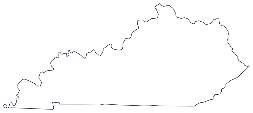
A river on top, a survey error underneath
The whole northern boundary is the Ohio River, curving from the Mississippi at the western tip past Louisville and Covington to the West Virginia corner. Kentucky holds the river itself: the line is the low-water mark on the Ohio, Indiana and Illinois banks as they stood in 1792, so on a detailed map the state's territory reaches right up against three other states' shorelines.
The western tip is the Mississippi, and it contains the strangest feature on any state outline. A hairpin meander near New Madrid cut Kentucky Bend adrift — a pocket of the state completely surrounded by Missouri and Tennessee, reachable only through Tennessee. It is worth circling on a printed copy.
The southern boundary is meant to be 36°30′. The Walker survey of 1780 drifted, so the line steps north and south of its nominal latitude in a series of jogs across Tennessee, and never got corrected. To the east, the Big Sandy River and its Tug Fork separate Kentucky from West Virginia, and the crest of the Cumberland Mountains carries the short line against Virginia.
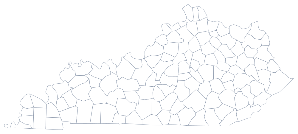
Kentucky has 120 counties, an unusually high number for its size — see the Kentucky county map — and the Bluegrass, the coalfields and the Jackson Purchase are described on the Kentucky state page. Print Tennessee, Indiana and West Virginia to follow those borders across, or open the blank US map hub. The Southern states quiz uses the same silhouette.