US Map / Blank US Map / New Hampshire
Blank New Hampshire Map
New Hampshire owns the Connecticut River all the way to the Vermont bank, which is why its western edge is a river line and Vermont's is not.
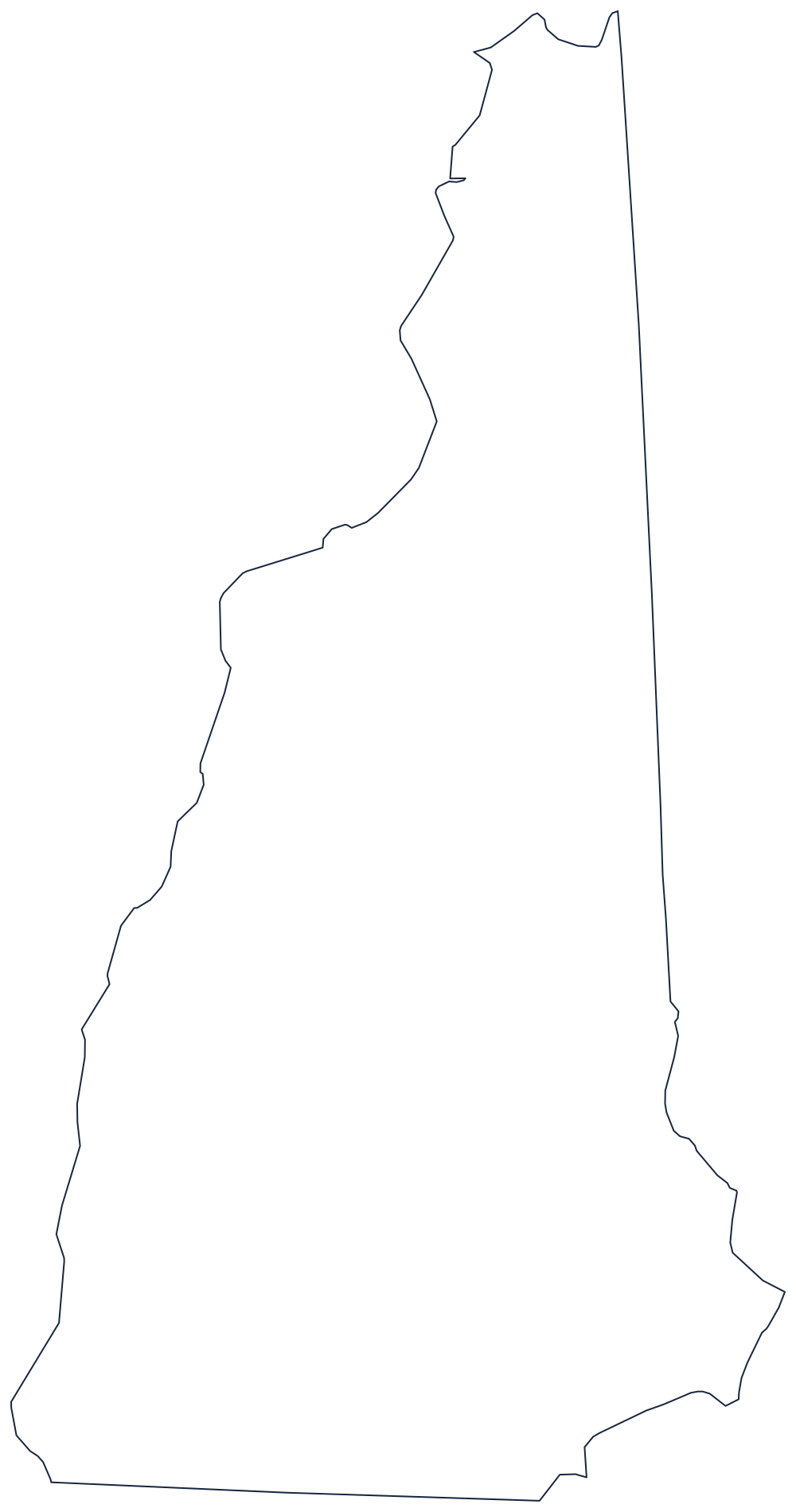
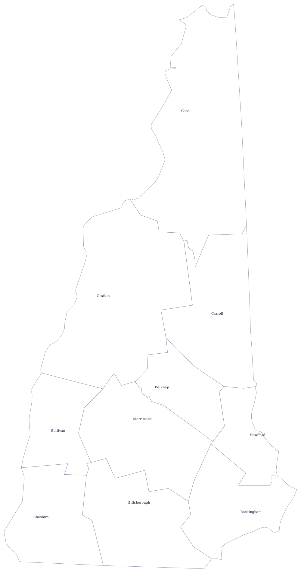
A wedge with a river on one side
The western boundary is the Connecticut River — but not the middle of it. New Hampshire's territory runs to the low-water mark on the Vermont side, so the state owns the whole river and the line traces the far bank. It is a long, closely bending edge and the hardest part of the outline to copy at speed.
The eastern boundary against Maine starts at the sea and follows the Piscataqua River inland, then leaves it for a surveyed line running north-northwest to the Canadian border. Between the two the state narrows steadily into a wedge, ending at a sharp point in the far north where the boundary follows Halls Stream — the disputed strip that briefly declared itself the Indian Stream Republic before the line was fixed in 1842.
The southern boundary is a line three miles north of the Merrimack, run in 1741, which is why it has a step in it rather than running straight. And at the southeastern corner sits the seacoast: about eighteen miles of Atlantic shore between Massachusetts and Maine, the shortest coastline of any coastal state, with the Isles of Shoals offshore.
New Hampshire has just 10 counties — see the New Hampshire county map — and the White Mountains, Mount Washington and the Merrimack valley are on the New Hampshire state page. Print Vermont to see the mirror image across the river, then Maine and Massachusetts. The index is on the blank US map hub, and the Northeast quiz tests the same six states.