US Map / Blank US Map / New Jersey
Blank New Jersey Map
New Jersey is very nearly an island: water runs down its whole western side, around the bottom, and back up the east until only a short diagonal is left.
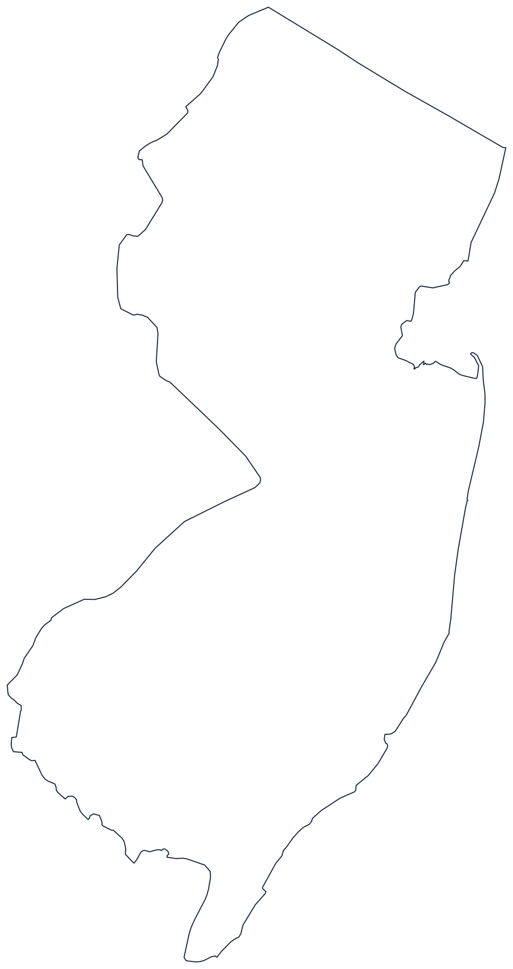
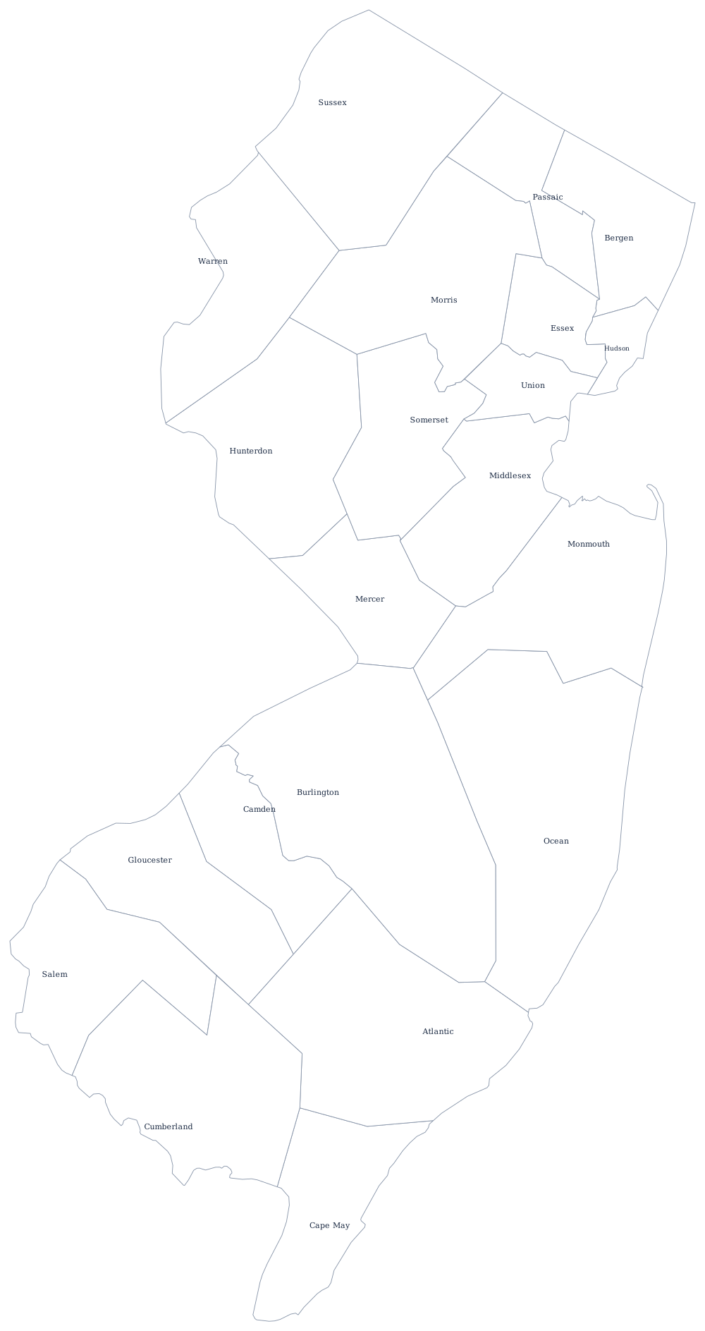
Water on three sides and a ruled line on the fourth
The western boundary is the Delaware River from the New York corner to Delaware Bay, past Trenton and Camden. At its lower end it meets the Twelve-Mile Circle, the arc struck around New Castle that gives Delaware the river up to the New Jersey shore — the only place in the country where one state's boundary is a circle and the other state does not reach the middle of the channel.
The south and east are coast: Delaware Bay, the point at Cape May, and then the Atlantic shore running north behind a chain of barrier islands and back bays to Sandy Hook, the sand spit that curls into Lower New York Bay. The northeastern edge follows the Hudson River up against New York, with the Palisades on the New Jersey bank.
That leaves one land boundary. Across the top a straight diagonal runs from the Hudson northwest to the Delaware at Port Jervis — a line surveyed in 1774 to end a long dispute with New York, and the only part of the outline that a ruler can draw.
The 21 county lines print from the New Jersey county map, and the Pine Barrens, Newark and the shore are on the New Jersey state page. The neighbors are Pennsylvania across the Delaware, Delaware around the circle, and New York along the diagonal. Everything else is on the printable blank map page, and New Jersey is a frequent miss in the hardest states quiz.