US Map / Blank US Map / California
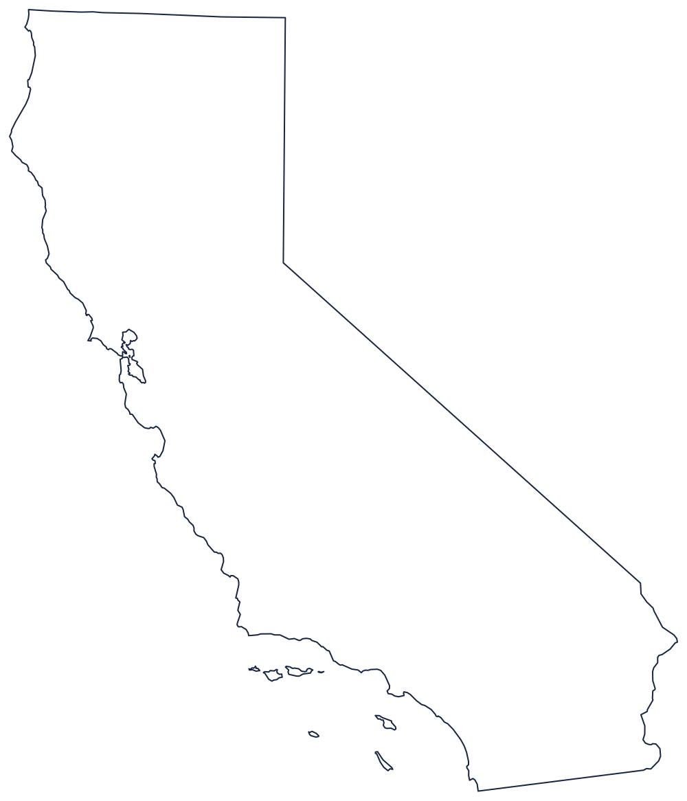
Blank California Map
California's outline is a coast, a parallel, and one long diagonal that a surveyor ruled from Lake Tahoe to the Colorado River.
Four edges, four different methods
The western side is the Pacific coastline, and it is worth tracing slowly: the sharp westward push at Cape Mendocino, the gap of the Golden Gate and San Francisco Bay, the elbow at Point Conception where the shore turns east, and the offshore Channel Islands that belong to the state but sit apart from the outline.
The northern side is the 42nd parallel, ruled straight across to Oregon. The eastern side is drawn twice: first the 120th meridian, running south from that corner to the middle of Lake Tahoe, then the famous diagonal, a single straight line that leaves the lake and runs southeast until it strikes the Colorado River. From there the river itself finishes the job against Arizona, bending past Needles and Yuma. The short southern boundary with Mexico is another ruled line, from the Colorado west to the ocean below San Diego.
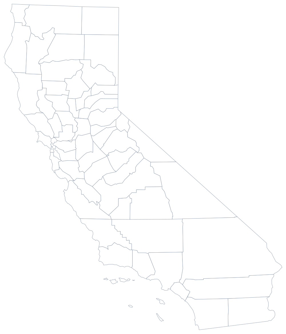
That diagonal is what makes the state instantly recognisable in silhouette, and it is also why the Central Valley and the Sierra crest sit at an angle to the page rather than square to it. The 58 counties are drawn on the California county map; the mountains, deserts and cities are covered on the California state page. Its only two state neighbors print here too: Oregon, Nevada and, across the river, Arizona. See the rest on the index of all fifty outlines, or place the state from memory in the Western states quiz.