US Map / Blank US Map / Arkansas
Blank Arkansas Map
Arkansas would be a tidy rectangle if the Mississippi River and the Missouri Bootheel had not each taken a bite out of it.
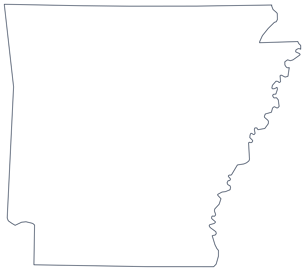
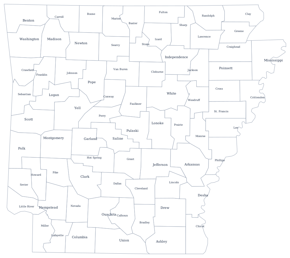
The two sides that break the rectangle
Start with the east. The Mississippi River draws the whole boundary with Tennessee and Mississippi, and because the river has cut through its own meanders repeatedly the line is a chain of loops and detached oxbows — the messiest state edge outside New England. The St. Francis River carries a short stretch of it at the northeastern end.
Now the north. The line with Missouri sits on 36°30′, the latitude the Missouri Compromise made famous, but it does not run the whole way. At the northeastern corner it steps down to 36° and back again, cutting the notch that gives Missouri its Bootheel and gives Arkansas its most recognisable corner.
The remaining two sides are plain: a meridian down the west, separating Arkansas from Oklahoma, with one stretch along the Arkansas River near Fort Smith, and the 33rd parallel across the south against Louisiana. The Red River clips the southwest corner on its way into Louisiana.
The 75 county lines print on the Arkansas county map, and the Ozarks, the Ouachitas and the Delta are described on the Arkansas state page. Print Missouri alongside to see the Bootheel from the other side, or Oklahoma and Louisiana for the western and southern lines. The full index is on the blank US map hub; the Southern states quiz uses the same shapes.