US Map / Printable US Maps / Poster
Print a US Map Poster
A vector map has no maximum size, so the only real questions are how many sheets you are willing to tape together and what you mount the result on.
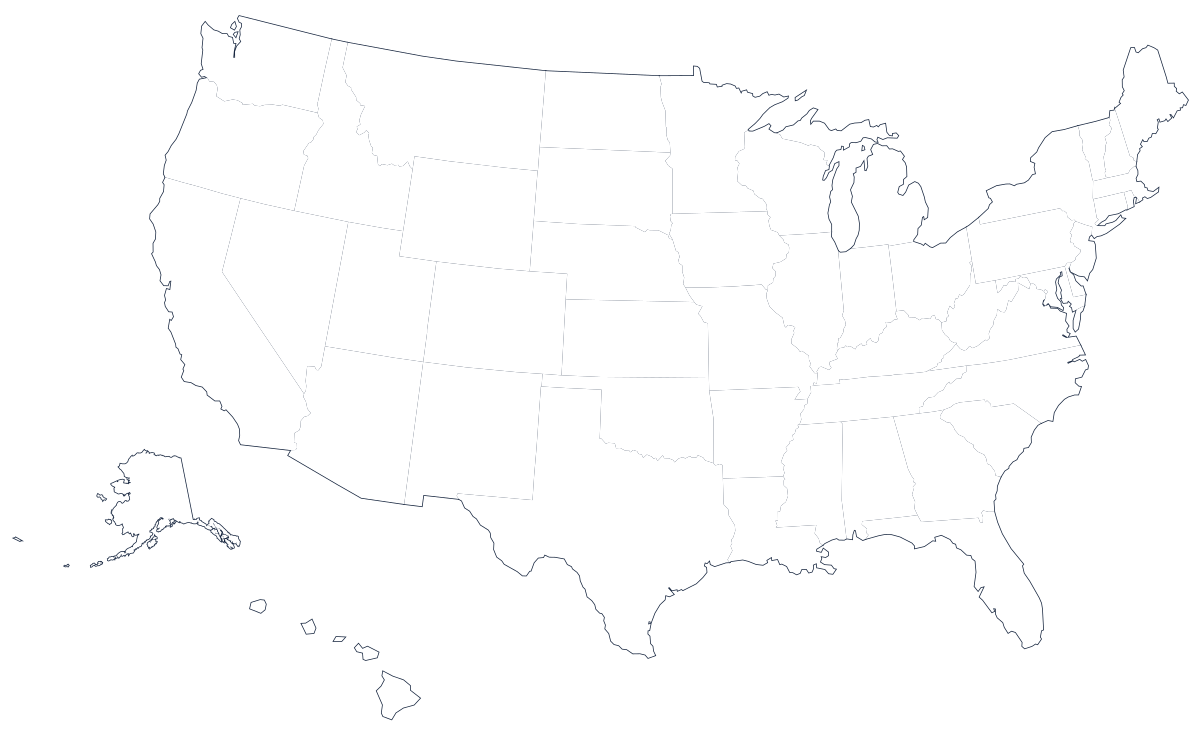
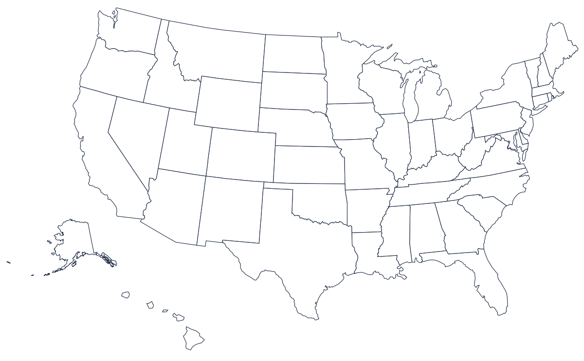
What "resolution" means for these files: nothing
The first question people ask before printing a map large is what resolution the file is. These maps have none, and that is the point. An SVG or a vector PDF stores the coastline as mathematics — a sequence of curves, each with coordinates — not as a grid of dots. When you enlarge one, the printer recalculates the curves at its own resolution rather than stretching pixels, so a map printed six feet wide has exactly the same crisp edge as one printed six inches wide. There is no maximum size and no quality setting to choose. A photograph would blur; this will not.
The one thing that does scale is line weight. The border strokes are sized for a sheet of paper, so at poster size they thin out visually. If you are opening the SVG in a drawing program before printing, thicken the strokes a little; if you are sending the PDF straight to a printer, they will still read at arm's length but will look delicate close up.
Tiling a map across ordinary sheets
The cheapest wall map is several sheets of Letter or A4 taped together, and every PDF reader can do it without extra software. In Adobe Acrobat Reader the setting is under Print → Poster; in the macOS print dialog it is under the Preview application's Layout and scaling options. Set the tile scale — 200% turns one sheet into four, 300% into nine, 400% into sixteen — choose landscape, and turn on an overlap of about a quarter of an inch so that you have something to trim to and glue against.
Nine sheets of Letter at 300%, trimmed and butted, gives a map roughly 30 inches wide, which is a good size for a classroom wall. Sixteen sheets gets you to about 40 inches. Print the whole set before you cut anything, trim only two edges of each sheet — the right and the bottom, say — so that every join has one cut edge over one factory edge, and work from the top-left corner outward. Tape on the back with a low-tack tape and the seams disappear from more than a meter away.
A1, A2 and going to a print shop
A single sheet is cleaner than a grid of taped ones, and any copy shop can produce it. A2 is 420 by 594 millimetres, roughly 16.5 by 23.4 inches; A1 is 594 by 841, about 23.4 by 33.1 inches, and is the usual size for a room-sized wall map. In US terms the common large-format widths are 24 and 36 inches on a roll. Because the map's proportions are about 1.6 to 1, a print 36 inches wide comes out about 22 inches tall, and a 24-inch print about 15 inches tall — check that against your wall before ordering.
Take the PDF, not a screenshot and not the SVG. Some shops handle SVG badly and almost all handle PDF perfectly, and the PDF has the page geometry already set. Ask for the file to be scaled to fit the sheet width, printed on matte rather than gloss if anyone is going to write on it, and not "optimised" or rasterised on their end. If the counter asks for a DPI, tell them it is vector artwork; the correct answer is that it does not have one.
Mounting it so it survives
Paper on a wall curls within a fortnight. The three durable options, cheapest first: dry-mount the print on foamboard with spray adhesive, which is light enough to hang with adhesive strips; laminate it, which lets a class draw on it with dry-erase markers and wipe it clean; or have it mounted on gatorboard, which is the version that lasts years in a corridor. If the map is going to be labeled once and kept, laminate after labeling, not before.
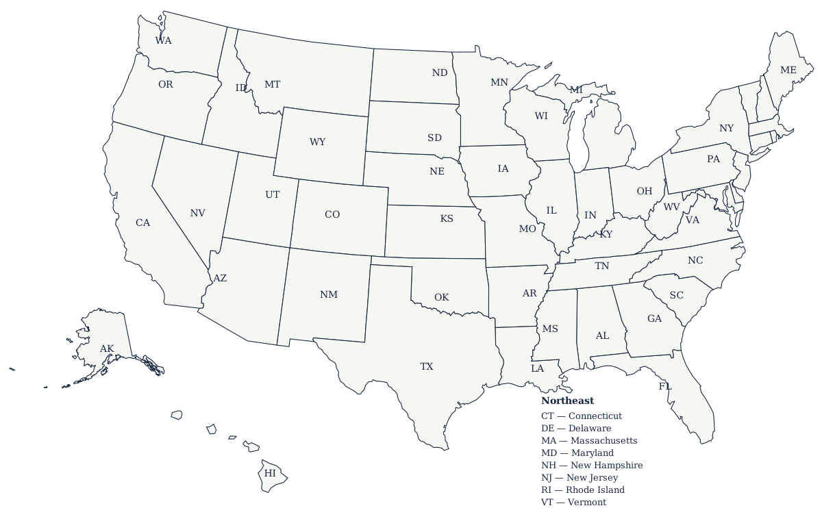
For a poster with the names already on it, enlarge the labeled US map instead of the blank one — it is the same artwork with the state names set into it. To combine both, print the labeled map at A2 for reference and the blank at A1 for writing on.
Related pages
For ordinary desk printing and the print-dialog settings that matter, see printing on Letter and A4. For an exercise built around the same downloads, see the US map worksheet. All the files are listed on the printable US maps hub, and the blank US map page has the country maps plus an outline for every state — Alaska is the one worth enlarging on its own, because its Aleutian chain is unreadable at Letter size.