US Map / Blank US Map / Delaware
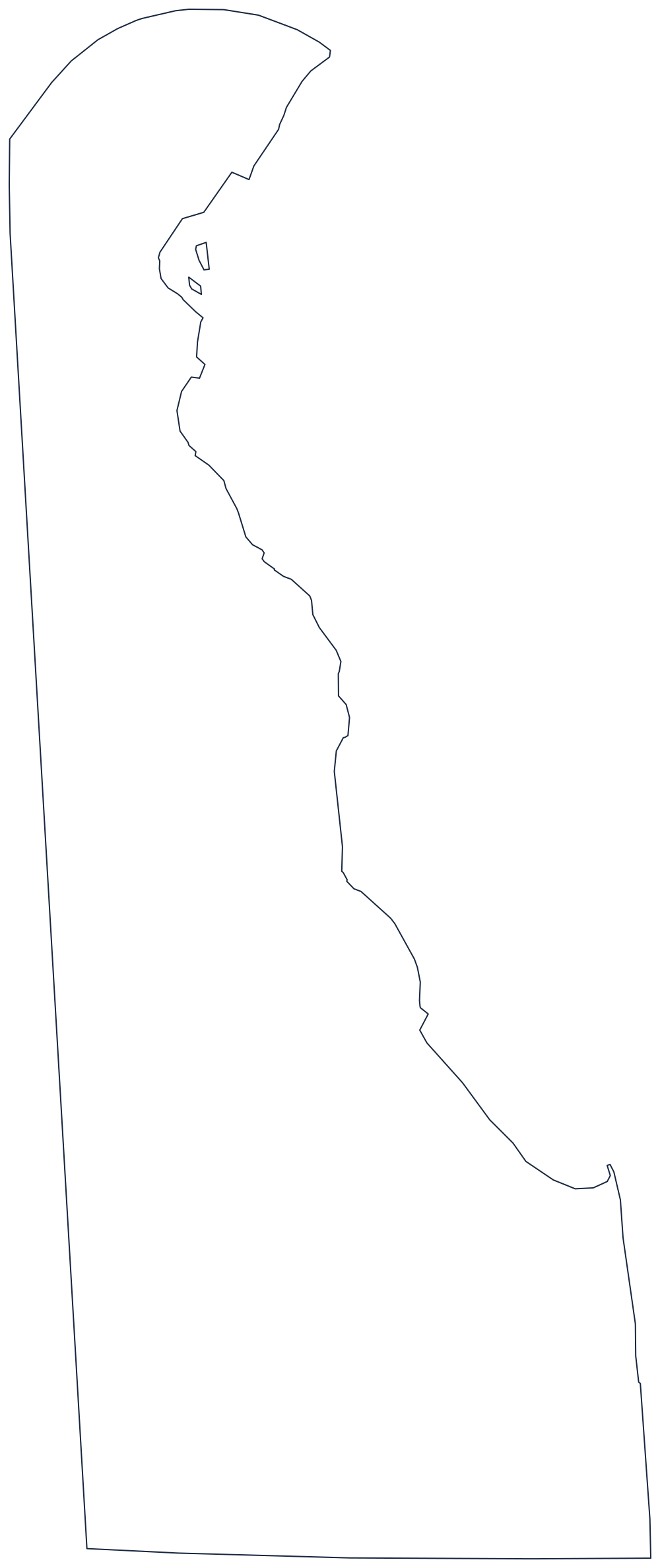
Blank Delaware Map
Delaware is the only state whose border includes a perfect arc of a circle, drawn twelve miles out from a courthouse in New Castle.
The circle, the line and the river
Trace the top of Delaware and the pencil curves. That arc is the Twelve-Mile Circle, struck with a radius of twelve miles from the courthouse at New Castle when the colony was granted, and it is still the boundary with Pennsylvania today. It is the only genuinely circular state border in the country, and where it meets the straight Mason–Dixon line running south, it produces the odd wedge of land that took until the twentieth century to assign.
The western side is that Mason–Dixon line, run due south to the transpeninsular line that forms the state's southern boundary with Maryland — the surveyed cut across the Delmarva Peninsula that gives Delaware its flat bottom edge.
The eastern side is water: the Delaware River narrowing upstream to Wilmington, then Delaware Bay opening out to Cape Henlopen and the Atlantic. Inside the Twelve-Mile Circle, Delaware's jurisdiction reaches all the way across the river to the low-water mark on the New Jersey shore, so the state technically owns river bottom that touches another state's riverbank — a detail no other outline can show.
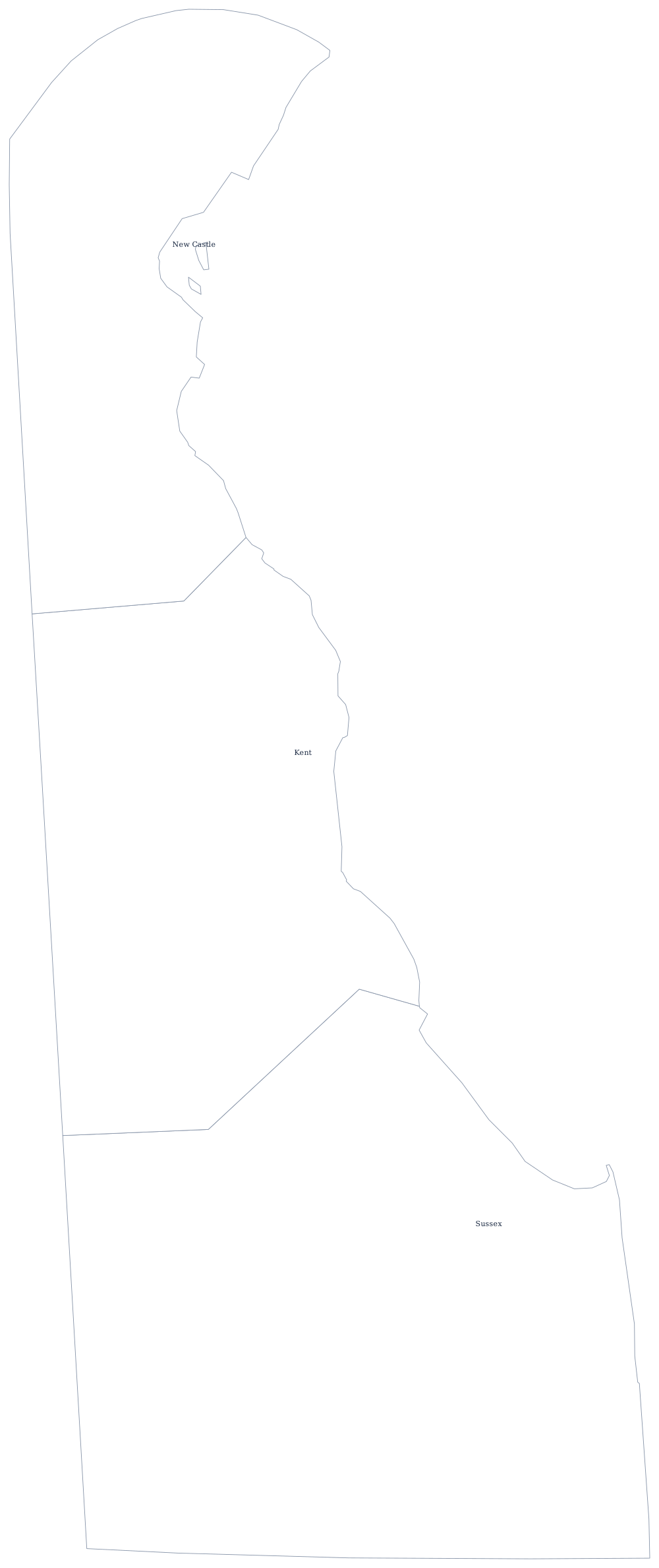
With three counties, the Delaware county map is the simplest in the country. The Delaware state page covers Wilmington and the coast. For the other side of each of those borders, print Maryland, Pennsylvania and New Jersey, or open the blank US map hub. Small mid-Atlantic states cost people points in the hardest states quiz.