US Map / Blank US Map / Florida
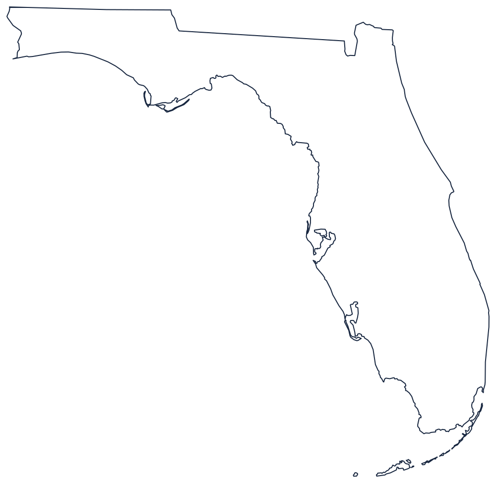
Blank Florida Map
Florida is almost all coastline: only about a fifth of the outline was drawn by a surveyor, and all of it is along the top.
Coast first, survey line second
Two thirds of the sheet is peninsula. Draw the Atlantic side south from the St. Marys River past the bulge at Cape Canaveral, round the tip below Miami, then pick up the arc of the Florida Keys curving southwest to Key West — a chain that is part of the state and is routinely left off hand-drawn maps. Coming back north, the Gulf side runs up past the Ten Thousand Islands, opens into the deep notch of Tampa Bay, and then swings west at the Big Bend, where the peninsula joins the mainland.
From there the panhandle runs west along the Gulf to Pensacola, and the top of it is the only ruled part of the outline: the 31st parallel, the old West Florida boundary, carrying the line with Alabama until it drops to the Perdido River at the far western end. East of the panhandle the Georgia border leaves the parallel, angles northeast to the Okefenokee country, and finishes along the St. Marys River to the Atlantic. The Apalachicola River, formed where the Chattahoochee and Flint meet at the state line, marks roughly where the panhandle begins.
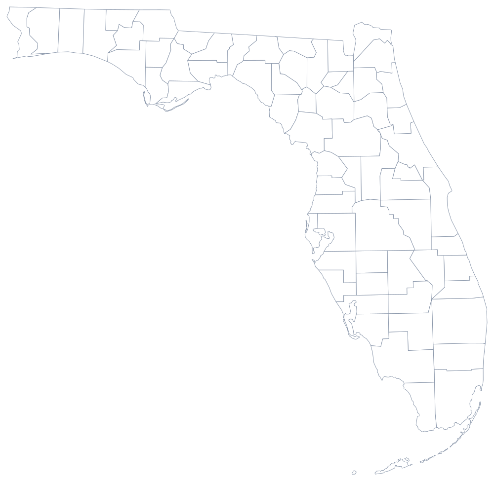
Florida's 67 counties are on the Florida county map, and the Florida state page covers the cities and the wetlands. Only two states touch it — print Georgia and Alabama to complete the corner — and the rest are on the blank US map hub. Florida is one of the shapes almost nobody misses in the easiest states quiz.