US Map / Blank US Map / Texas
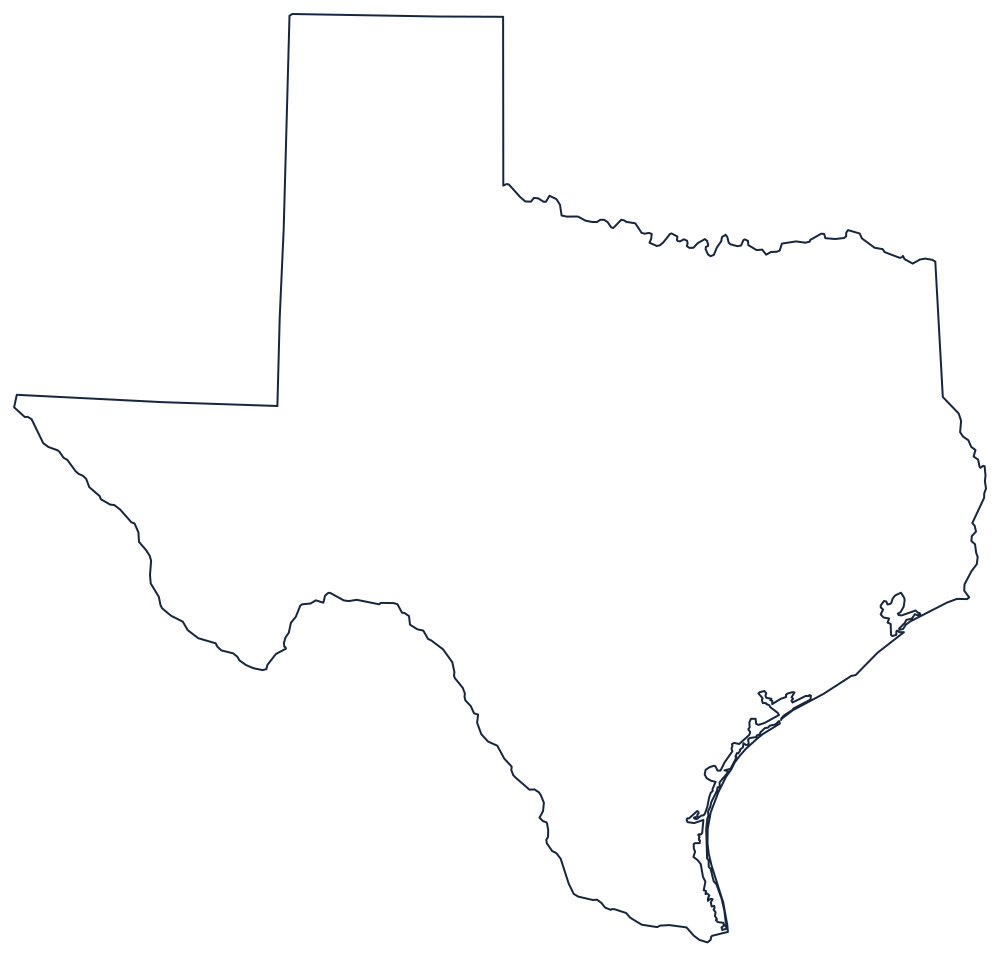
Blank Texas Map
Texas is the only state outline where a river draws more than a thousand miles of the boundary and still leaves three ruled sides to be added.
The most recognisable outline in the country
Begin with the Rio Grande. It enters at El Paso and runs southeast for well over a thousand miles to the Gulf, making the entire boundary with Mexico and, on the way, the Big Bend — the deep loop where the river turns north and back that gives the bottom-left of the state its unmistakable kink.
The panhandle is a plain box: the 103rd meridian on the west, the 100th meridian on the east, closed at the top by 36°30′, the Missouri Compromise line above which Texas was not permitted to keep territory. Below the panhandle the western boundary drops to the 32nd parallel and runs west to the Rio Grande, cutting the state's far western wedge.
The northern boundary east of the panhandle is the Red River, followed along its south bank against Oklahoma. The eastern boundary is the Sabine River up from the Gulf, then a meridian running north to the Red River against Louisiana. The southeastern side is 367 miles of Gulf coast, screened almost its whole length by barrier islands — Galveston, Matagorda and Padre Island, which alone runs about 113 miles.
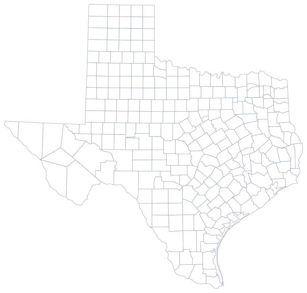
Texas has 254 counties, more than any other state; the Texas county map is the densest sheet on the site. Austin, the Hill Country and the Gulf plain are on the Texas state page. Print Oklahoma, New Mexico and Louisiana to fit the edges together. The full index is on the printable blank map page, and Texas anchors the easiest states quiz.