US Map / Blank US Map / Maine
Blank Maine Map
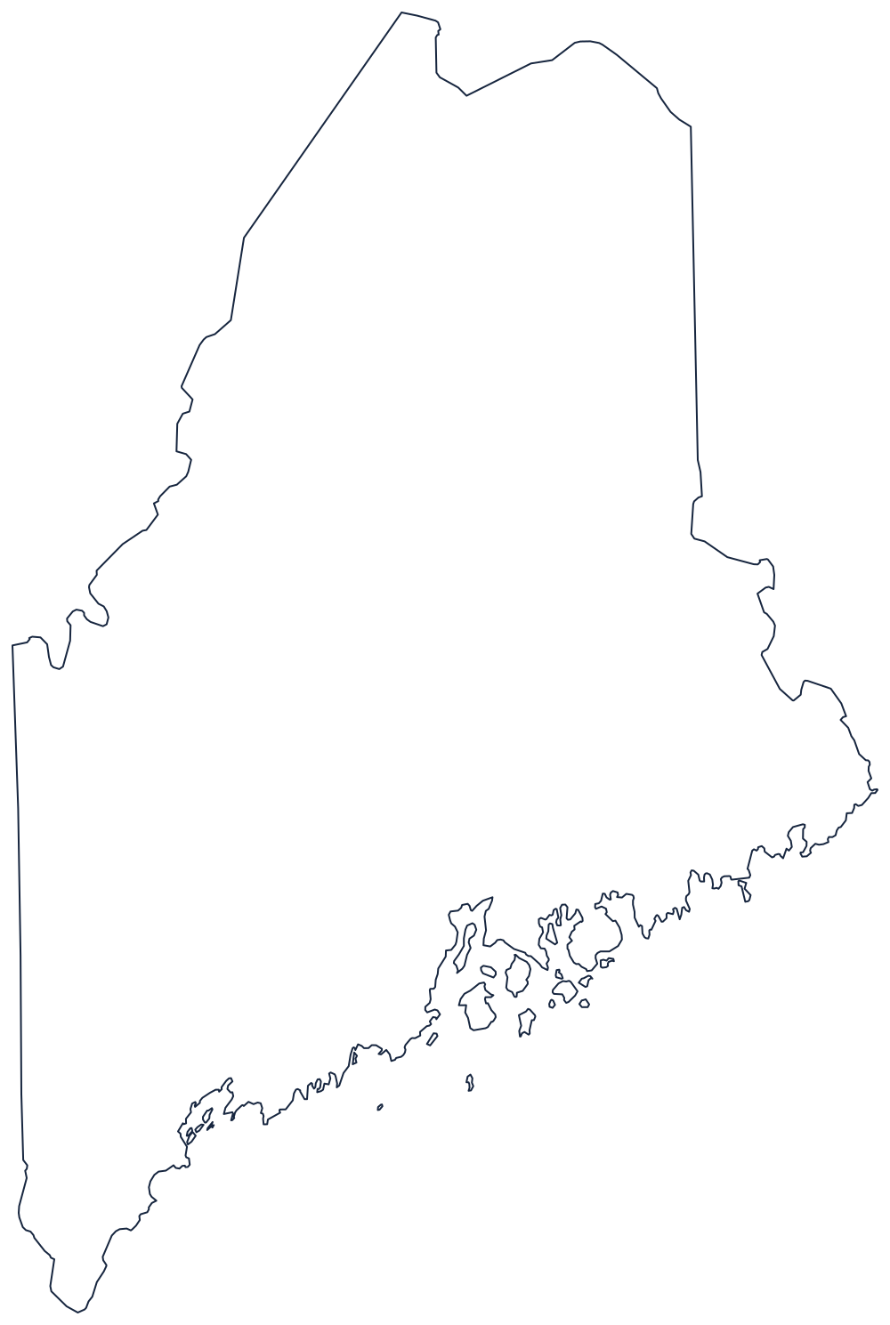
Maine touches only one other state, so almost the entire outline is either international boundary or the most indented coast in the country.
One neighbor, two treaties and a lot of coast
New Hampshire is the only state Maine borders, and that boundary is short: the Piscataqua and Salmon Falls rivers at the southern end, then a straight line running north to the Canadian border. Everything above and to the right of it is international.
The eastern boundary is the St. Croix River, dropping to Passamaquoddy Bay and the Bay of Fundy against New Brunswick. The northern boundary was the last serious land dispute between the United States and Britain: the Webster–Ashburton Treaty of 1842 finally set it along the St. John and St. Francis rivers and the height of land between the St. Lawrence and Atlantic watersheds, which is why the top of the state is a series of long, angled segments rather than a parallel.
The coast is the part that takes the longest to draw. Glaciation drowned a range of ridges and valleys, so the shoreline is a comb of peninsulas and bays — Casco Bay, Penobscot Bay, the mass of Mount Desert Island — and measured closely it runs to thousands of miles despite the state's modest width. Simplify it on a Letter-size print; the shape still reads.
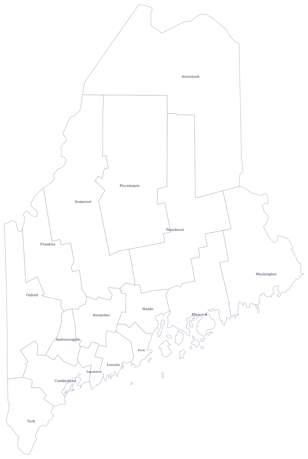
Maine has 16 counties, several of them enormous and nearly empty, on the Maine county map; Portland, Katahdin and the North Woods are on the Maine state page. Print New Hampshire for the only shared line, then Vermont and Massachusetts to fill in northern New England. The full index is on the blank US map hub, and the Northeast quiz covers the same corner.