Wyoming Map
The least populous state, and with Colorado one of only two whose whole outline is four straight lines. Capital and largest city: Cheyenne. Abbreviation: WY.
Wyoming at a glance
| Capital | Cheyenne |
| Largest city | Cheyenne |
| Abbreviation | WY |
| Population | 587,618 (2024 Census estimate) |
| Land area | 97,093 sq mi |
| Region | West (Mountain division) |
| Time zone | Mountain Time statewide, with daylight saving time observed. Wyoming spans barely seven degrees of longitude, so it has never had a case for splitting the clock. |
| Counties | 23 counties |
| Statehood | 1890 (44th state) |
| Borders | Colorado, Idaho, Montana, Nebraska, South Dakota, and Utah — the state is a quadrangle between the 41st and 45th parallels and two meridians three minutes west of 104° and 111°, and its southwest corner cuts the rectangular notch out of Utah |
Major cities
Wyoming's total population of 587,618 in 2024 is smaller than that of many single cities, and no Wyoming city appears on the 100 largest US cities list. Cheyenne, in the far southeast corner where the Union Pacific crossed in 1867, is both the capital and the largest city with roughly 65,000 residents. Casper, on the North Platte in the center of the state, is second; Laramie holds the state university west of the Laramie Range; Gillette and Rock Springs are energy towns on the coal and gas fields; and Jackson, in the mountain valley of Jackson Hole below the Tetons, has fewer than 11,000 residents despite being the best-known name in the state. The southern tier of towns follows the transcontinental railroad and Interstate 80 almost exactly, which is why they sit in a line.
Geography
Wyoming is the highest state after Colorado by mean elevation and reads as plains punctuated by ranges. The Great Plains cover the east, rising into the Black Hills at the South Dakota line and the Powder River Basin coal country north of Casper. The Rocky Mountains take the west, with Gannett Peak in the Wind River Range at 13,809 feet the state's high point and the Teton Range rising abruptly out of Jackson Hole with no foothills at all.
The Continental Divide crosses the state diagonally and does something here that it does nowhere else: it splits in two around the Great Divide Basin, a 3,600-square-mile area of the Red Desert that drains to neither ocean. Yellowstone National Park occupies the northwest corner — the first national park, established in 1872, and the caldera of an active supervolcano whose plumbing feeds Old Faithful and the Norris geyser basin. The Missouri River system takes water off the eastern slope by way of the North Platte, Powder, Bighorn and Yellowstone rivers, while the western slope feeds the Green and so the Colorado. Wyoming was admitted as the 44th state on 10 July 1890, having granted women the vote as a territory in 1869.
Printable Wyoming maps
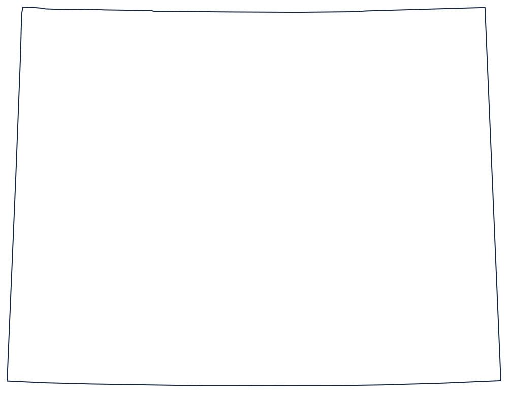
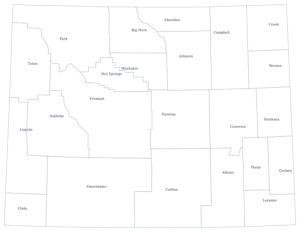
Wyoming is the plainest outline on the site — four straight lines — which makes the county sheet the more useful of the two files. The blank Wyoming map covers what those four lines are.
Neighboring states
Six states meet Wyoming's rectangle: Montana along the 45th parallel to the north, South Dakota and Nebraska east, Colorado south along the 41st, and Utah and Idaho west. Wyoming and Colorado are the only two states bounded by four lines of latitude and longitude and nothing else — Utah is drawn with straight lines too, but it takes six of them. The West map quiz is a quick check on which is which. Both belong to the Mountain division of the West.