Montana Map
Plains for two-thirds of its width, Rocky Mountains for the rest, and a triple watershed divide in between. Capital: Helena. Largest city: Billings. Abbreviation: MT.
Montana at a glance
| Capital | Helena |
| Largest city | Billings |
| Abbreviation | MT |
| Population | 1,137,233 (2024 Census estimate) |
| Land area | 145,546 sq mi (the fourth-largest state) |
| Region | West (Mountain division) |
| Time zone | Mountain Time statewide, with daylight saving time observed, even though the far western valleys sit at longitudes that elsewhere fall in Pacific Time. |
| Counties | 56 counties |
| Statehood | 1889 (41st state) |
| Borders | Idaho, North Dakota, South Dakota, and Wyoming — Montana also runs 545 miles along the 49th parallel and is the only state to border three Canadian provinces — British Columbia, Alberta and Saskatchewan |
Major cities
Montana has no city on the list of the 100 largest in the country, and its urban pattern is a scatter of small centers rather than a metropolis. Billings, on the Yellowstone River in the south-center, is the largest at roughly 120,000 people; Missoula sits in a mountain valley in the west, Great Falls on the Missouri below its cataracts, and Bozeman at the head of the Gallatin Valley has grown quickly. Helena, the capital, began as a gold camp in Last Chance Gulch in 1864 and has fewer than 35,000 residents, which makes it one of the smallest state capitals. Butte, built directly on top of a copper orebody, was once the largest city between Minneapolis and Seattle. The whole state holds 1,137,233 people in the 2024 estimates, spread over 145,546 square miles.
Geography
The 111th meridian is a fair rough divide for Montana. East of it the state is Great Plains: short-grass prairie, the Missouri Breaks, and the buttes and coulees the Yellowstone and Milk rivers have cut into it. West of it the Rocky Mountains arrive in a series of north–south ranges, with Granite Peak in the Beartooths reaching 12,807 feet.
The Continental Divide enters from Canada in Glacier National Park and runs south through the state before turning to form the Idaho border. Triple Divide Peak in Glacier is the one place in the country where water can leave for the Pacific, for the Gulf of Mexico and for Hudson Bay depending on which side of the summit it falls. The Missouri River begins at Three Forks, where the Jefferson, Madison and Gallatin meet, and crosses the state northeast toward North Dakota; the Yellowstone runs 692 miles undammed from the park to join it just over the line. Montana became the 41st state on 8 November 1889, one of six admitted inside nine months as the northern railroads filled in the map.
Printable Montana maps
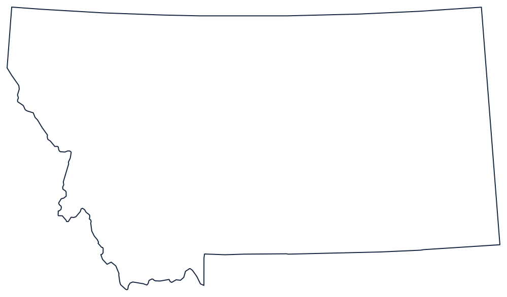
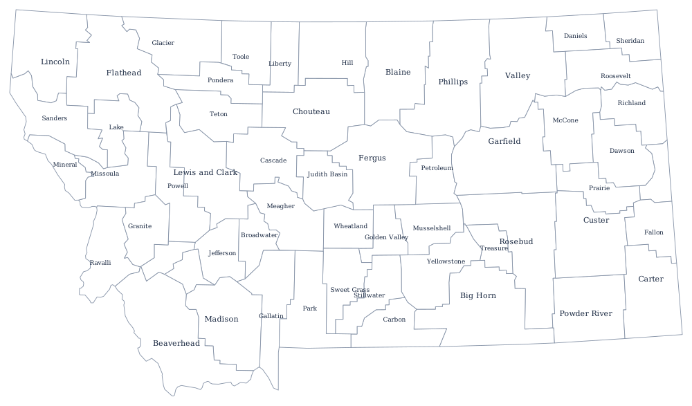
The northern edge is the 49th parallel, the southern edge the 45th for most of its length, and the western edge is the only interesting one. The blank Montana map goes through why that western boundary zigzags.
Neighboring states
Idaho is west, its border tracing the crest of the Bitterroots and then the Continental Divide; Wyoming is south across the 45th parallel and shares Yellowstone; and North Dakota and South Dakota continue the plains east. Montana is the largest state in the Mountain division and the one that reaches furthest from the West into plains country. The West map quiz is the quickest way to check whether you can tell it from Wyoming at a glance.