US Map / States / South Dakota
South Dakota Map
The Missouri River cuts the state in two, and South Dakotans still call the halves East River and West River. Capital: Pierre. Largest city: Sioux Falls.
South Dakota at a glance
| Capital | Pierre |
| Largest city | Sioux Falls |
| Abbreviation | SD |
| Population | 924,669 (2024 Census estimate) |
| Land area | 75,811 sq mi |
| Region | Midwest (West North Central division) |
| Time zone | Central Time in the east and Mountain Time in the west; the line runs close to the Missouri River but not exactly along it |
| County count | 66 counties |
| Statehood | 1889 (40th state) |
| Borders | North Dakota, Minnesota, Iowa, Nebraska, Wyoming and Montana |
Major cities
Sioux Falls, in the southeastern corner on the Big Sioux River, is the largest city; Minnehaha County counted 208,639 residents in 2024 and neighboring Lincoln County 75,244, which together make close to a third of the state. Rapid City, on the eastern edge of the Black Hills in Pennington County (115,979), is the West River center and the base for Mount Rushmore and Badlands visitors. Aberdeen, Brookings and Watertown are the other East River towns of any size. Pierre, the capital, sits on the Missouri at the middle of the state and is among the least populous state capitals in the country: it was chosen in 1889 as a central river town over the larger settlements on either side and confirmed by referendum in 1904. No South Dakota city reaches the national top 100.
Geography
The Missouri River runs down the middle of South Dakota and divides it in fact as well as in speech. East River is glaciated prairie — flat to rolling, farmed in corn and soybeans, pocked with the same prairie potholes as North Dakota and Minnesota. West River is unglaciated Great Plains: shortgrass rangeland, gumbo buttes, and the Badlands, where the White River has cut the soft Chadron and Brule formations into a maze of ridges and spires.
The Black Hills rise abruptly out of that plain in the southwest, an isolated dome of granite, limestone and ponderosa pine reaching 7,242 feet at Black Elk Peak — the highest ground in the United States east of the Rocky Mountains, and higher than anything for more than 500 miles in any direction. Four dams built on the Missouri between 1952 and 1966 — Oahe, Big Bend, Fort Randall and Gavins Point — turned most of the river inside the state into a chain of reservoirs. The Big Sioux makes the Iowa border and the Missouri makes much of the Nebraska one, while the northern and western boundaries are pure survey: the seventh standard parallel, a few miles short of 46°N, and the 27th meridian west of Washington.
Printable South Dakota maps
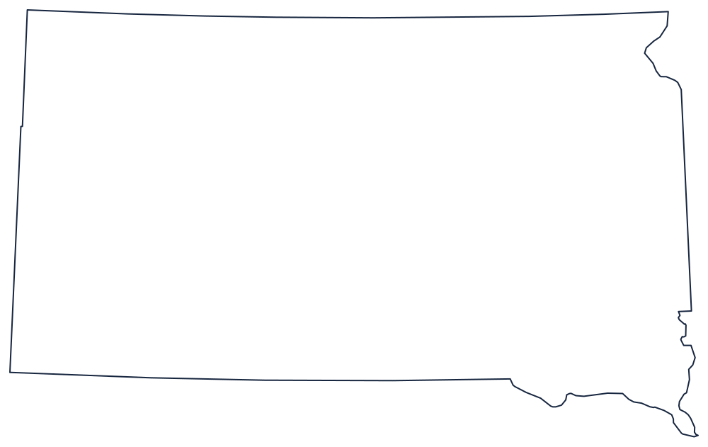
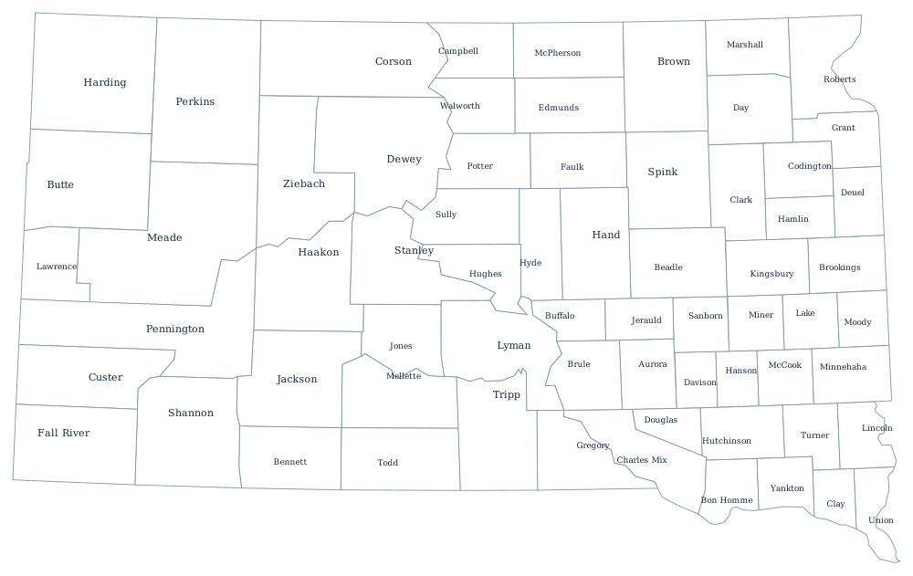
Two river edges and two ruled ones, with the Black Hills invisible on an outline but obvious on the ground. Print the shape from the blank South Dakota map page, or label all 66 counties with the South Dakota county map.
Neighboring states
North is North Dakota, admitted the same day in 1889; east are Minnesota and Iowa; south is Nebraska across the Missouri and the 43rd parallel; west are Wyoming and Montana. South Dakota belongs to the West North Central division of the Midwest. The Mountain time zone page explains the split down the middle, and the US map with states shows how the northern plains states tile together.