Kentucky Map
The Ohio River draws Kentucky's entire northern edge — and the state owns the water all the way to the far bank. Capital: Frankfort. Largest city: Louisville.
Kentucky at a glance
| Capital | Frankfort |
| Largest city | Louisville |
| Abbreviation | KY |
| Population | 4,588,372 (2024 Census estimate) |
| Land area | 39,486 sq mi |
| Region | South (East South Central division) |
| Time zone | Eastern in the east, including Louisville and Lexington; Central west of a ragged north–south line through the middle of the state, including Bowling Green and Paducah |
| Counties | 120 counties — third most of any state |
| Statehood | 1792 (15th state) |
| Borders | Illinois, Indiana, Missouri, Ohio, Tennessee, Virginia, and West Virginia — seven in all |
Major cities
Two cities hold most of Kentucky's urban population, and both are consolidated city-counties. Louisville merged with Jefferson County in 2003, which is why its 2024 figure of 793,881 is identical to the county's. Lexington did the same with Fayette County in 1974 and counts 329,437. Louisville sits at the Falls of the Ohio, the only natural break in the river's navigation, which is precisely why a town grew there.
After those two the drop is steep. Bowling Green, Owensboro and Covington follow; Kenton County (174,862) and Boone County (144,135) across the river from Cincinnati form Kentucky's third population cluster. Frankfort, chosen as the capital in 1792 as a compromise between Louisville and Lexington, has never grown past about 28,000 and is among the smallest state capitals in the country — see the US map with capitals.
Geography
The Ohio River runs some 660 miles along the state, and because Virginia’s 1792 cession fixed the boundary at the river's northern low-water mark, the water itself is Kentucky's rather than Ohio's or Indiana’s. At the far west the Mississippi takes over, and one of its old meanders cut off the Kentucky Bend — a piece of Fulton County surrounded by Missouri and Tennessee that can only be reached by road through Tennessee.
Inland the rock does the shaping. Limestone under the Bluegrass region around Lexington gives thin, mineral-rich pasture, and the same limestone further southwest has dissolved into Mammoth Cave, the longest known cave system in the world with more than 400 miles surveyed. The Appalachian coalfields fill the eastern third, rising to Black Mountain at 4,145 ft, and the Cumberland Gap at the Virginia and Tennessee corner is the pass that carried settlers west after 1775. In the west, Kentucky Lake on the Tennessee River and Lake Barkley on the Cumberland leave a strip of land between them known as Land Between the Lakes.
Printable Kentucky maps
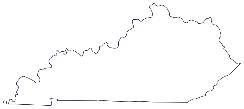
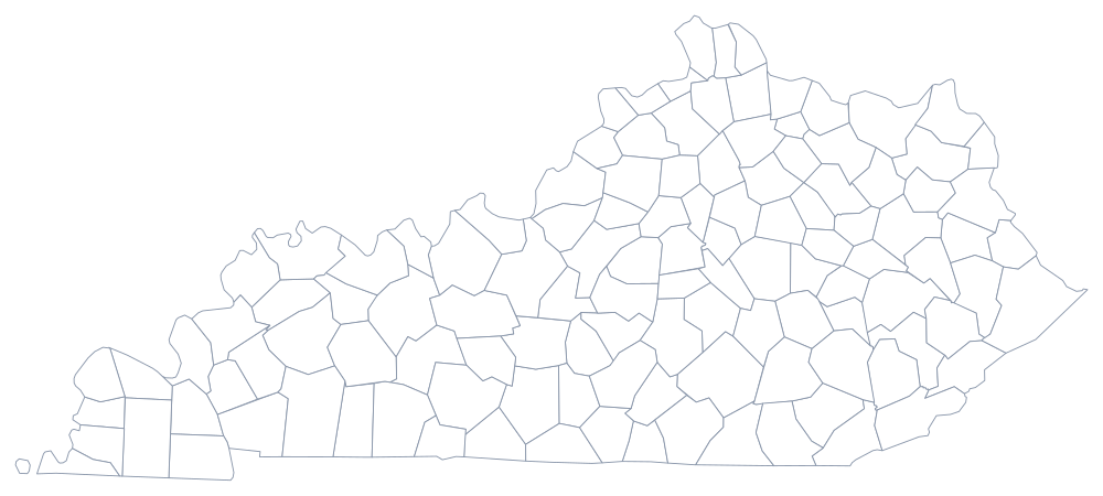
Kentucky's outline is unmistakable once the river edge is drawn, which makes it a good labeling exercise — grab the SVG above or the blank Kentucky map, and use the county sheet if you need all 120 divisions.
Neighboring states
Seven states touch Kentucky; only Missouri and Tennessee, with eight each, touch more. Across the Ohio lie Illinois, Indiana and Ohio; Missouri faces the Kentucky Bend across the Mississippi; West Virginia and Virginia lie along the mountains; and Tennessee, which touches eight states, runs the whole southern line. Try placing them all on the US map quiz.