Virginia Map
Virginia has 38 independent cities that belong to no county at all — more than the rest of the United States put together. Capital: Richmond.
Virginia at a glance
| Capital | Richmond |
| Largest city | Virginia Beach |
| Abbreviation | VA |
| Population | 8,811,195 (2024 Census estimate) |
| Land area | 39,490 sq mi |
| Region | South (South Atlantic division) |
| Time zone | Eastern Time, statewide |
| Counties | 95 counties plus 38 independent cities, 133 county-equivalents in all |
| Statehood | 1788 (10th state) |
| Borders | Kentucky, Maryland, North Carolina, Tennessee, West Virginia, the District of Columbia, and the Atlantic |
Major cities
Virginia's independent cities make its city list look strange. An independent city is not inside any county, so Census figures never double-count them, and 38 of the roughly 41 such cities in the entire country are in Virginia. Three of the state's four entries in the national top 100 sit together in Hampton Roads: Virginia Beach at 454,808 in 2024, Chesapeake at 254,997 and Norfolk at 231,105, all around the harbor at the mouth of the Chesapeake.
Richmond, the capital, counted 233,655 at the fall line on the James River. None of them is where the state's population actually concentrates: Fairfax County in Northern Virginia holds 1,160,925 on its own, with Prince William (497,003) and Loudoun (443,380) counties beside it, and none of the three is a city. The Virginia county map sorts out which is which.
Geography
Virginia crosses five physiographic provinces between the Atlantic and the Kentucky line. The Appalachian Plateau in the far southwest gives way to the Valley and Ridge, whose great trough is the Shenandoah Valley; then the Blue Ridge, carrying Skyline Drive through Shenandoah National Park and rising to Mount Rogers at 5,729 ft, the state's high point; then the Piedmont; then Tidewater. The fall line marks the last of those transitions, and Alexandria, Fredericksburg, Richmond and Petersburg were all founded on it.
The Chesapeake Bay divides the state's eastern end. Accomack and Northampton counties on the Eastern Shore are cut off from the rest of Virginia entirely and reached by the Chesapeake Bay Bridge–Tunnel, 17.6 miles of trestle and two tunnels under the shipping channels. The Potomac River is Virginia's northern boundary but not Virginia's river — Maryland owns it to the low-water mark on the Virginia shore. In the far southwest the state ends at the Cumberland Gap, and along the Atlantic coast the Great Dismal Swamp runs across the North Carolina line. Virginia ceded the land for the District of Columbia in 1790 and got the portion south of the river back in 1846.
Printable Virginia maps
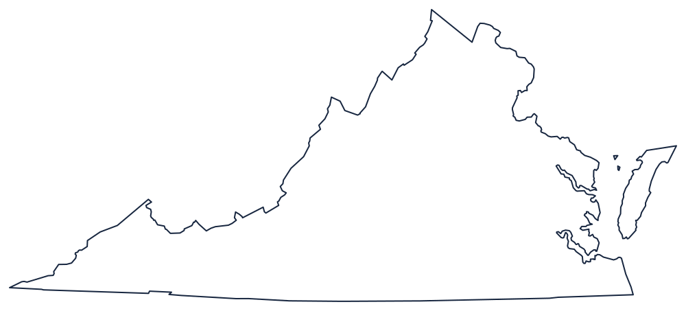
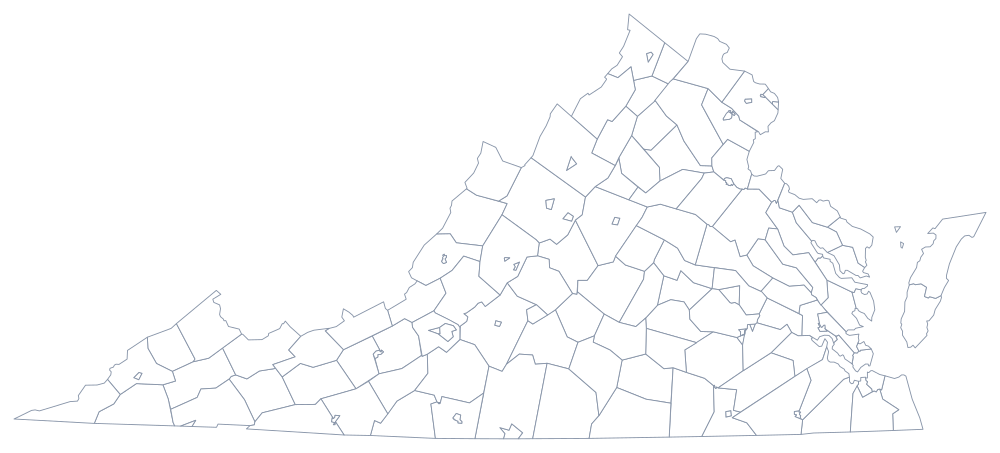
The outline map catches Virginia's odd shape — the wedge, the Eastern Shore detached across the bay, the southwestern spike between Kentucky and North Carolina. Download it above or from the blank Virginia map page; the county sheet shows counties and independent cities together.
Neighboring states
Maryland is across the Potomac to the north, with the District of Columbia between; West Virginia broke away from Virginia in 1863 and now wraps its northwest; Kentucky and Tennessee meet it at Cumberland Gap; and North Carolina runs along the southern survey line. Locate them all on the US map with states.