US Map / County Maps / Kentucky
Kentucky County Map
Only Texas and Georgia have more counties than Kentucky, which fitted 120 of them into 40,000 square miles.
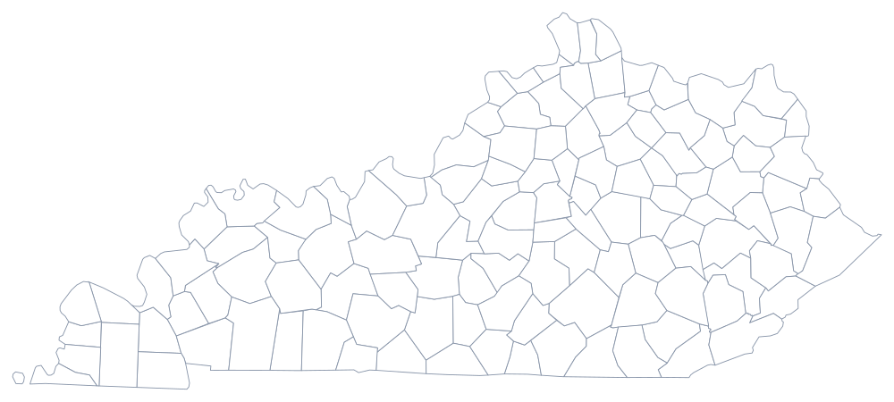
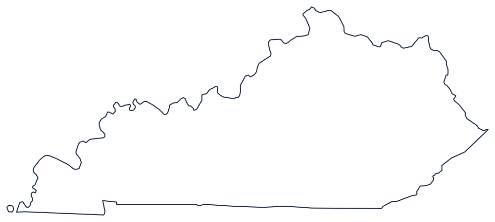
Kentucky was still part of Virginia when its first counties were made — Kentucky County in 1776, then Fayette, Jefferson and Lincoln in 1780 — and the legislature never stopped making more. Ninety-five were created in the nineteenth century alone, often because a settlement wanted its own courthouse and had a friend in Frankfort. The last was McCreary County in 1912, cut out of Pulaski, Wayne and Whitley, and the state constitution now makes new ones effectively impossible.
The 120 counties of Kentucky
Two counties are also cities: Jefferson County was merged with Louisville in 2003 and Fayette County with Lexington in 1974. Kenton and Campbell counties in the northern Kentucky suburbs of Cincinnati each keep two courthouses, a nineteenth-century arrangement the state never tidied up.
| County | County seat or seats | Population (2024 estimate) |
|---|---|---|
| Jefferson County | Louisville | 793,881 |
| Fayette County | Lexington | 329,437 |
| Kenton County | Covington and Independence | 174,862 |
| Warren County | Bowling Green | 147,936 |
| Boone County | Burlington | 144,135 |
| Hardin County | Elizabethtown | 112,826 |
| Daviess County | Owensboro | 104,457 |
| Madison County | Richmond | 99,582 |
| Campbell County | Newport and Alexandria | 94,008 |
| Bullitt County | Shepherdsville | 85,802 |
Fiscal courts, county judge-executives, and two merged cities
Every Kentucky county is governed by a fiscal court, which despite the name is a legislature: a county judge-executive presides over magistrates elected from districts, and together they set the budget, the occupational tax, and the road program. The judicial part of the title is a genuine leftover — until the 1976 judicial article the county judge really did hear cases — and it is why a Kentucky county's chief executive is called a judge and its council a court.
Because the counties are small and there are 120 of them, Kentucky carries more elected county officials per resident than almost any state: a sheriff, a jailer, a county clerk, a county attorney, a property valuation administrator, a coroner and a surveyor in each one. Two counties have escaped the pattern by merging with their cities. Louisville and Jefferson County consolidated in 2003 after a referendum, and Lexington and Fayette County did the same in 1974 — the reason Lexington's government is formally the Lexington-Fayette Urban County Government and its boundaries are the county's.
Largest and smallest counties
Jefferson County is the most populous at 793,881 in the 2024 estimates and is the same territory as Louisville. Fayette County follows at 329,437 and is Lexington. The smallest is Robertson County in the northern Bluegrass, 2,382 people in about 100 square miles, one of the least populous counties in the eastern United States. Pike County, in the coalfield on the Virginia and West Virginia line, is the largest by land area at roughly 787 square miles.
The Kentucky state page has the state's rivers and cities; the county map index has the other 49. Kentucky touches seven states, and these are four of them: Tennessee, Ohio, Indiana, and Virginia. The Ohio River page explains the northern boundary, which Kentucky owns bank to bank.