US Map / States / West Virginia
West Virginia Map
West Virginia left Virginia in 1863, in the middle of the Civil War, and took two panhandles with it. Capital and largest city: Charleston.
West Virginia at a glance
| Capital | Charleston |
| Largest city | Charleston |
| Abbreviation | WV |
| Population | 1,769,979 (2024 Census estimate) |
| Land area | 24,038 sq mi |
| Region | South (South Atlantic division) |
| Time zone | Eastern Time, statewide |
| Counties | 55 counties |
| Statehood | 1863 (35th state), separated from Virginia during the Civil War |
| Borders | Kentucky, Maryland, Ohio, Pennsylvania, and Virginia |
Major cities
West Virginia is the least urban state in the South and has no city among the 100 largest in the country. Charleston is both capital and largest city with fewer than 50,000 residents inside its limits, set where the Elk River joins the Kanawha; its Kanawha County counted 173,906 in 2024, the most in the state.
Growth has moved to the edges. Berkeley County (136,287) in the Eastern Panhandle, around Martinsburg, is the fastest-growing county in the state because it is within commuting distance of Washington. Monongalia County (108,697) has Morgantown and the university; Cabell County (91,489) has Huntington on the Ohio River; Wood County (82,757) has Parkersburg. Wheeling, in the Northern Panhandle, was the state's first capital. See the West Virginia county map for all 55.
Geography
No state east of the Mississippi averages higher ground: West Virginia's mean elevation is roughly 1,500 ft. The Allegheny Front runs down the state's eastern side, separating the folded ridges of the Appalachian Valley and Ridge from the dissected Allegheny Plateau that makes up most of the interior — country that is not high in absolute terms but has almost no flat land in it. Spruce Knob, 4,863 ft, is the high point; the low point, 240 ft, is the Potomac at Harpers Ferry.
The Ohio River forms the western border, and as with Kentucky the boundary sits at the far low-water mark, so the water belongs to West Virginia rather than Ohio. The two panhandles are political leftovers of 1863: the Northern Panhandle runs north past Wheeling between Ohio and Pennsylvania, narrowing to a few miles across, while the Eastern Panhandle reaches out between Maryland and Virginia to Harpers Ferry, where the Shenandoah meets the Potomac. Those eastern counties were included partly because the Baltimore and Ohio Railroad ran through them, and Virginia contested the transfer all the way to the Supreme Court, losing in 1871. The New River Gorge in the south became the country's newest national park in 2020.
Printable West Virginia maps
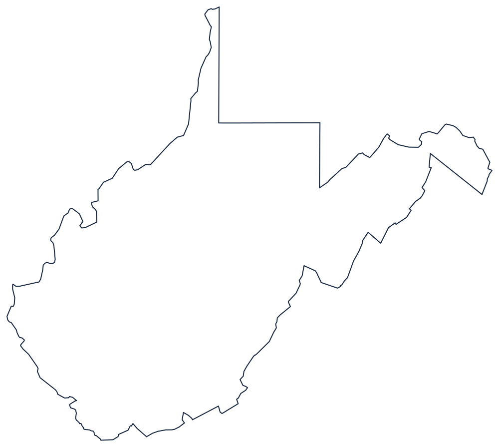
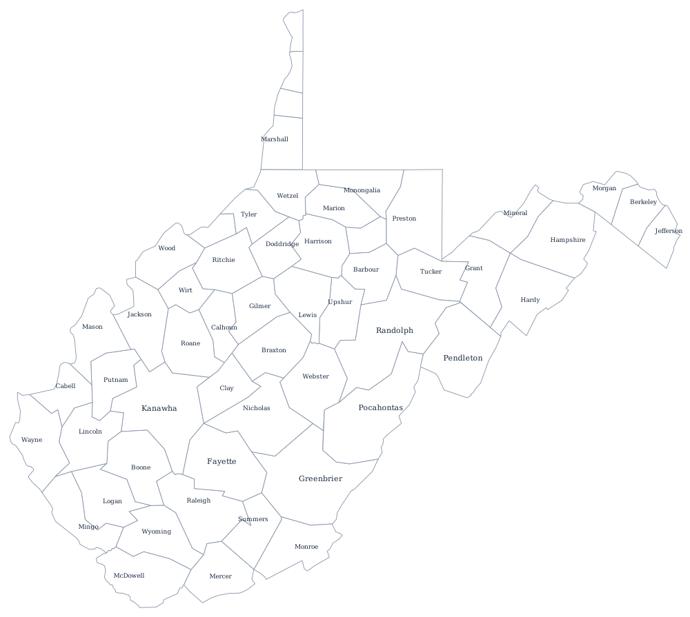
Nothing else looks like this outline, so it is the best of the fifty for a shape-recognition drill. Take the SVG above or the blank West Virginia map, and the county file if you want all 55 boundaries.
Neighboring states
Virginia, the state it left, still runs along the southeast; Kentucky is southwest across the Big Sandy and Tug Fork; Ohio is across the river; and Pennsylvania and Maryland close the north, with the Fairfax Stone at the source of the North Branch Potomac marking the corner. Five borders in a state of 24,038 square miles — compare it with the rest on the South region map.