California Map
The most populous state, holding both the highest and the lowest ground in the contiguous US. Capital: Sacramento. Largest city: Los Angeles. Abbreviation: CA.
California at a glance
| Capital | Sacramento |
| Largest city | Los Angeles |
| Abbreviation | CA |
| Population | 39,431,263 (2024 Census estimate) |
| Land area | 155,779 sq mi |
| Region | West (Pacific division) |
| Time zone | Pacific Time statewide, with daylight saving time observed. California sets the clock for the whole west coast. |
| Counties | 58 counties |
| Statehood | 1850 (31st state) |
| Borders | Arizona, Nevada, and Oregon — the southern boundary runs 140 miles along Mexico to the Pacific, and the western edge is 840 miles of open coast |
Major cities
California's population concentrates in two coastal regions with a farm belt between them. Southern California centers on Los Angeles, at 3,878,704 people in 2024 the second-largest city in the country, with San Diego near the Mexican border and a chain of large cities in between: Long Beach, Anaheim, Santa Ana, Irvine, Riverside and Chula Vista. The San Francisco Bay Area holds San Jose, San Francisco and Oakland. Inland, the Central Valley supports its own line of cities — Fresno, Bakersfield, Stockton and the capital, Sacramento, which is one of the 33 state capitals that is not its state's largest city (see the capitals map).
Geography
California runs about 800 miles north to south and contains both the highest and the lowest points in the contiguous United States: Mount Whitney at 14,505 feet in the Sierra Nevada, and Badwater Basin in Death Valley at 282 feet below sea level, fewer than 90 miles apart. Between the Sierra and the Coast Ranges lies the Central Valley, a flat trough about 450 miles long that produces a large share of the country's fruit, nuts and vegetables and is drained by the Sacramento and San Joaquin rivers.
The northeast corner belongs to the Cascade Range, with Mount Shasta at 14,179 feet; the southeast is Mojave Desert, and the Colorado River forms the border with Arizona. The San Andreas Fault runs roughly 750 miles along the state, separating the Pacific and North American plates and putting Los Angeles slowly on a course toward San Francisco. The Pacific coast alternates between the cliffs of Big Sur and the long beaches of the south.
Printable California maps
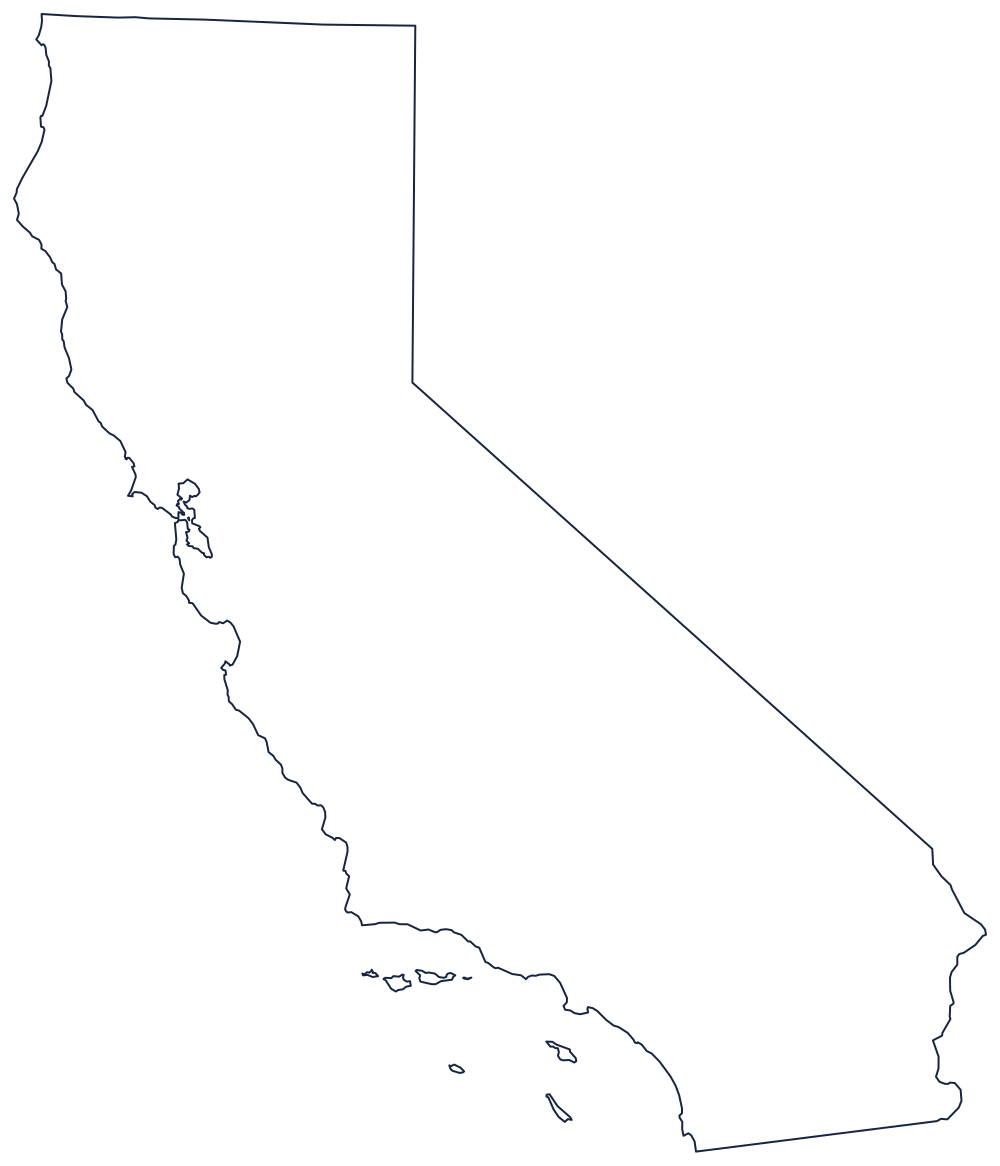
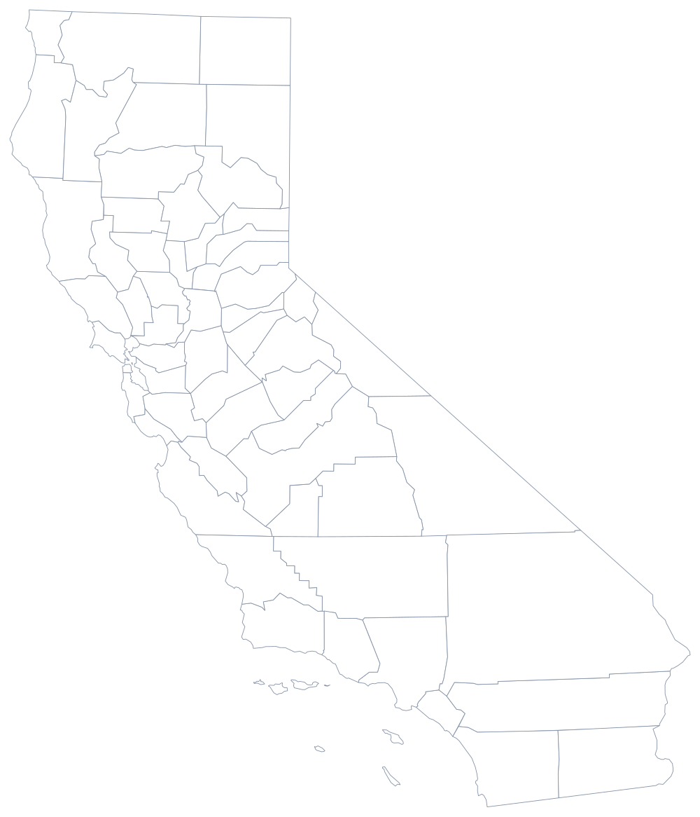
The outline is the familiar long wedge, straight along the Nevada line and ragged along the sea. The blank California map explains what each of those edges follows and prints cleanly on Letter and A4.
Neighboring states
Continue north along the coast to Oregon, which shares the 42nd-parallel line, or go inland to Nevada, where the border abandons the parallel and runs diagonally to the Colorado River. Arizona faces California across that river. California is the anchor of the Pacific division and of the West as a whole; for the wider picture return to the US map with states or try the map quiz.