Oregon Map
One mountain range divides it into a wet third and a dry two-thirds. Capital: Salem. Largest city: Portland. Abbreviation: OR.
Oregon at a glance
| Capital | Salem |
| Largest city | Portland |
| Abbreviation | OR |
| Population | 4,272,371 (2024 Census estimate) |
| Land area | 95,988 sq mi |
| Region | West (Pacific division) |
| Time zone | Pacific Time in almost all of the state; most of Malheur County in the far southeast keeps Mountain Time to match Boise. Daylight saving time is observed in both. |
| Counties | 36 counties |
| Statehood | 1859 (33rd state) |
| Borders | California, Idaho, Nevada, and Washington — the Columbia River carries almost the whole Washington border and the Snake River much of the Idaho one, while the California and Nevada lines are the straight 42nd parallel |
Major cities
About seven Oregonians in ten live in the Willamette Valley, a 150-mile trough between the Coast Range and the Cascades. Portland sits at its northern end where the Willamette meets the Columbia, with 635,749 residents in 2024 spread across Multnomah, Washington and Clackamas counties. Salem, the capital, is 45 miles upstream; Eugene, home of the state university, is another 65 miles south; and Hillsboro, Gresham, Beaverton and Bend fill out the list of cities above 100,000 — Bend being the only one east of the Cascades. Medford serves the Rogue Valley in the southwest. Portland is Oregon's single entry on the 100 largest US cities list, and the state's population is more lopsided toward it than the map suggests.
Geography
Everything in Oregon follows from the Cascade Range. Wet Pacific air rises over it, drops its rain on the western slopes — parts of the Coast Range take more than 100 inches a year — and arrives in the interior dry, so the eastern two-thirds of the state is sagebrush steppe and juniper with under 12 inches of rain. Mount Hood, at 11,239 feet, is the state's high point, and Crater Lake, filling the collapsed caldera of Mount Mazama, is at 1,943 feet the deepest lake in the United States.
The Columbia River forms nearly the entire northern boundary and cuts the only sea-level gap through the Cascades, the Columbia River Gorge. The Snake River forms much of the eastern boundary through Hells Canyon. Southeastern Oregon is high desert of fault-block ranges and closed basins — Steens Mountain rises 5,000 feet above the Alvord Desert — and belongs geologically to the Great Basin rather than the Northwest. The state's 363 miles of Pacific coast are public in their entirety, the result of a 1967 state law that declared the whole dry-sand beach a public highway.
Printable Oregon maps
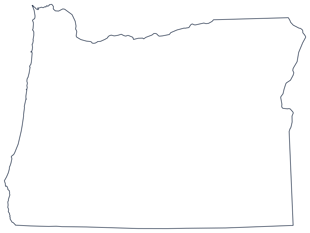
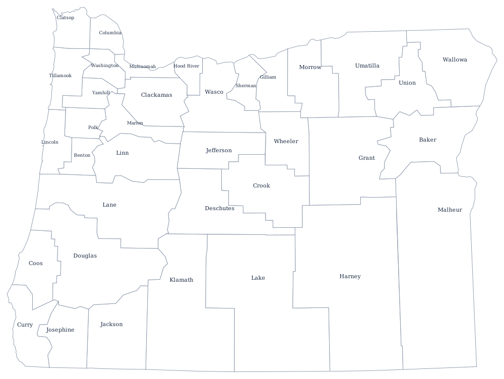
The outline is close to a rectangle with a ragged coast and a river along the top. The blank Oregon map shows which parts of the border are survey line and which are water.
Neighboring states
Washington is across the Columbia to the north, Idaho across the Snake to the east, and California and Nevada sit below the 42nd parallel to the south — a line surveyed as the northern limit of Spanish claims long before any of the four were states. Oregon is in the Pacific division with Washington, California, Alaska and Hawaii, though its dry eastern half has more in common with the Mountain states.