US Map / Geography / Sierra Nevada
Sierra Nevada Map
Mount Whitney and Badwater Basin — the highest and lowest points in the contiguous United States — are less than 90 miles apart.
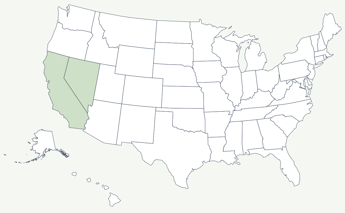
The Sierra Nevada is a single block of granite about 400 miles long, tilted so that the western slope climbs gradually out of the Central Valley over 50 or 60 miles while the eastern face drops in one step into the Owens Valley. That asymmetry explains almost everything about the range: where the rivers go, where the snow falls, where the roads cross, and why California is green on one side of it and desert on the other.
Which states does the Sierra Nevada cross?
Two. Nearly all of the range lies in California, forming the state's eastern spine from the Feather River country in the north to Tehachapi Pass in the south. The eastern edge crosses into Nevada around Lake Tahoe, where the Carson Range stands on the Nevada side of the lake. The state line here is a surveyed diagonal, not a ridge, so it cuts the Tahoe basin in half. North of Lassen the Sierra gives way to the volcanic Cascade Range; south of Tehachapi Pass the ranges break up into the desert country of the Mojave.
| Length | about 400 miles, north to south |
| Width | roughly 50 to 80 miles |
| Highest peak | Mount Whitney, 14,505 ft — the highest summit in the contiguous United States |
| States | California, with the eastern edge in Nevada |
| Lake Tahoe | surface at about 6,225 ft, maximum depth 1,645 ft — the deepest lake in the country after Crater Lake |
| Donner Pass | 7,056 ft — the crossing used by the first transcontinental railroad |
| Largest trees | the giant sequoia groves of the western slope, including General Sherman in Sequoia National Park |
Notable places in the range
Yosemite Valley is a glacier-widened trench in the granite, with walls a half-mile high and waterfalls that run hard in May and dry up by August because they are fed by snow rather than springs. Sequoia and Kings Canyon, to the south, hold the giant sequoia groves and Mount Whitney on their eastern boundary. Lake Tahoe sits in a basin between the main crest and the Carson Range, deep enough that it has never frozen over in recorded history. On the range's western foothills, Sacramento and Fresno face the mountains across the Central Valley, and Reno sits at the eastern foot in the rain shadow, where the annual precipitation is a fraction of what falls forty miles away on the crest.
The wall that shaped California
Overland travellers arriving from the east had crossed 1,500 miles of plains and desert and then met the Sierra last, in autumn, with the passes about to close. The Donner Party's winter of 1846–47 at what is now Donner Lake is the best-known result, and it fixed the range's reputation. Gold changed the calculation two years later: the strike at Sutter's Mill in 1848 was in the Sierra foothills, and the Mother Lode towns strung along Highway 49 are the settlement pattern that produced. When the Central Pacific began building east in 1863 it had to get over the same barrier, and the tunnels blasted at Donner Summit — much of the work done by Chinese crews through winters spent under the snow — were the hardest and slowest miles of the entire transcontinental line. The range still supplies the state: most of California's water is Sierra snowpack, measured every spring, and delivered south by aqueduct.
North of here is the Cascade Range, east lie the basins that end at the Great Salt Lake, and the southern foot runs into the Mojave Desert. The state's western edge is covered by the Pacific Coast map. See the physical geography of the United States, or the state pages for California and Nevada.