Arizona Map
The last of the contiguous 48 states to be admitted, and one of two that keeps the same clock all year. Capital and largest city: Phoenix. Abbreviation: AZ.
Arizona at a glance
| Capital | Phoenix |
| Largest city | Phoenix |
| Abbreviation | AZ |
| Population | 7,582,384 (2024 Census estimate) |
| Land area | 113,594 sq mi |
| Region | West (Mountain division) |
| Time zone | Mountain Time, but Arizona does not observe daylight saving time, so from March to November its clocks match Pacific Time. The Navajo Nation in the northeast does observe DST; the Hopi Reservation inside it does not. |
| Counties | 15 counties |
| Statehood | 1912 (48th state) |
| Borders | California, Colorado, Nevada, New Mexico, and Utah — Colorado is touched only at the Four Corners point, and Arizona also runs 370-odd miles along Mexico, facing Sonora and Baja California |
Major cities
Arizona is one of the most concentrated states in the country: the Phoenix metropolitan area, locally the Valley of the Sun, holds well over half of all Arizonans. Phoenix itself recorded 1,673,164 residents in 2024, and four of its neighbors are large cities in their own right — Mesa, Chandler, Gilbert and Glendale — along with Scottsdale against the McDowell Mountains. All six sit in Maricopa County. The second population center is Tucson in the Sonoran Desert 110 miles southeast, in Pima County. Outside those two basins the state thins out fast: Flagstaff sits at about 7,000 feet in the pines below the San Francisco Peaks, and Yuma anchors the irrigated southwest corner.
Geography
Arizona splits along the Mogollon Rim, an escarpment that runs diagonally across the middle of the state. North of it is the Colorado Plateau: high, cold in winter, and cut by the Grand Canyon, where the Colorado River has exposed 277 river miles of rock up to 18 miles wide and more than a mile deep. Humphreys Peak, at 12,633 feet the state's high point, is the eroded rim of a volcano just north of Flagstaff.
South and west of the Rim, Arizona drops into Basin and Range country and the Sonoran Desert, the only place saguaro cactus grows wild. The northwestern corner reaches into the Mojave Desert around Lake Mead. The Colorado River does double duty as scenery and boundary: it forms the entire western border with California and most of the border with Nevada before turning south toward Mexico, and the dams along it — Glen Canyon, Hoover, Davis, Parker — are why Phoenix and Tucson can exist at their present size. The Gila and Salt rivers drain the interior and are dry for much of the year.
Printable Arizona maps
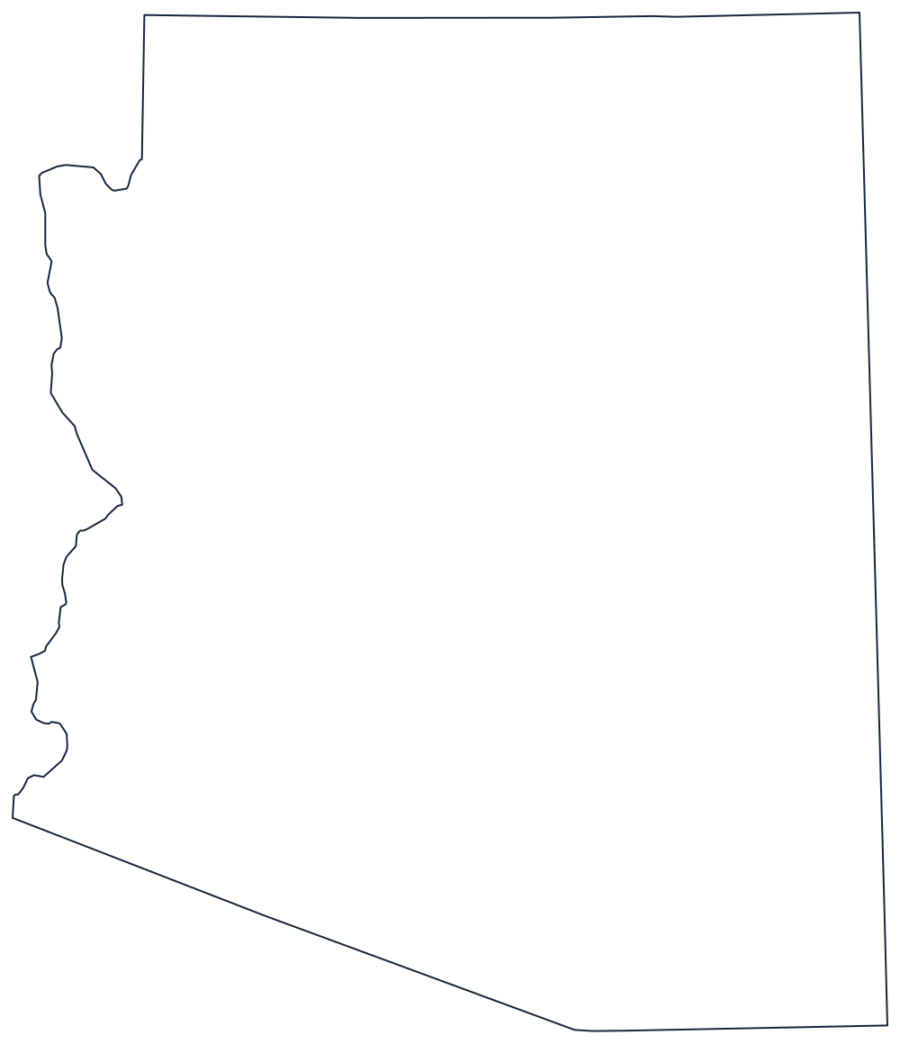
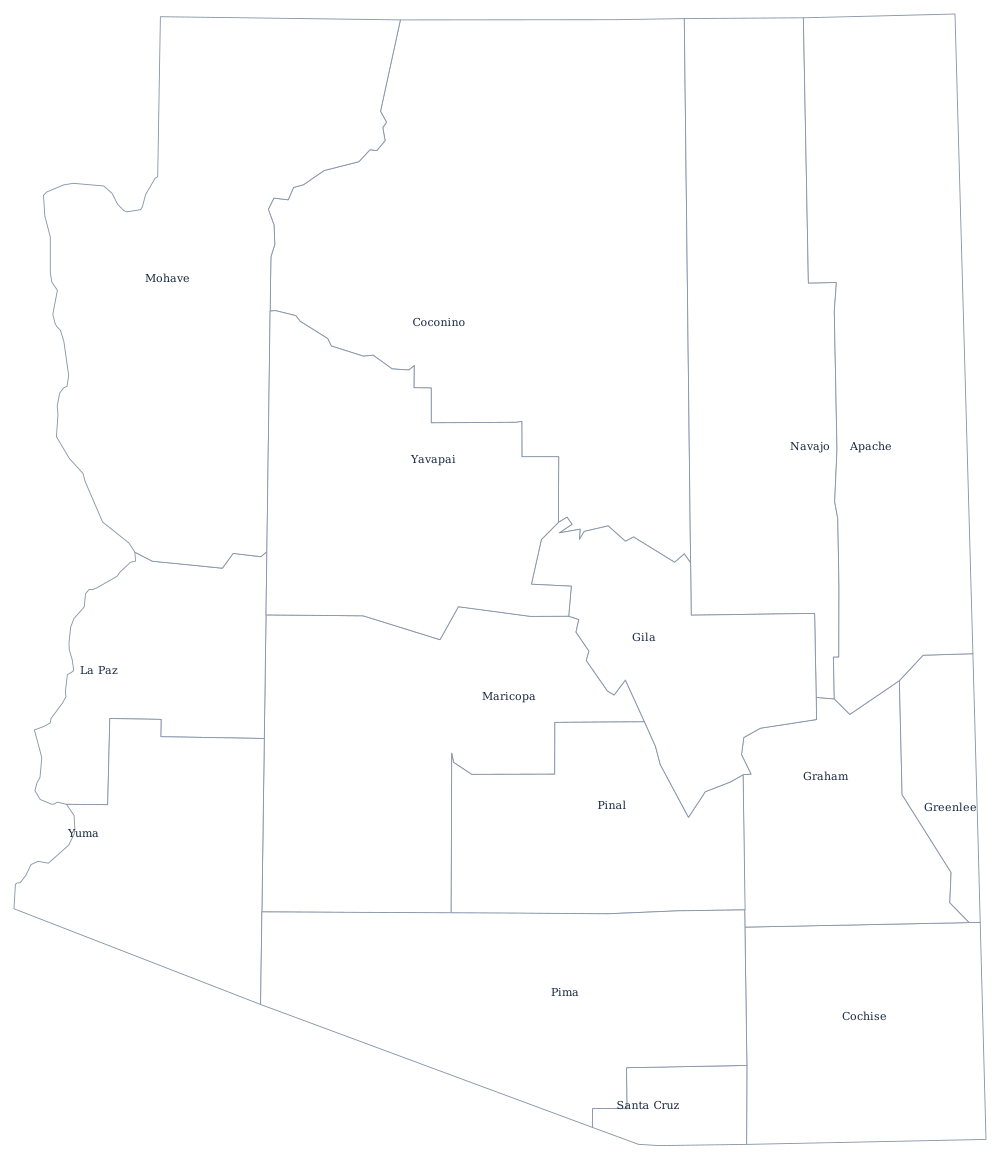
The outline shows the Colorado River boundary on the west and the surveyed straight lines everywhere else. For page-size guidance and a note on what Arizona's borders follow, see the blank Arizona map.
Neighboring states
Arizona's neighbors cover most of the interior West. California lies across the Colorado River, Nevada across Lake Mead, and Utah along the straight 37th-parallel line at the top of the state. New Mexico is due east, and Colorado is reached only by standing on the Four Corners marker. Arizona is one of the eight Mountain division states; the Mountain time zone page explains how its no-DST rule ripples across the region.