Arkansas Map
Arkansas is two states in one: folded mountains across the northwest and west, and dead-flat Mississippi floodplain in the east. Capital: Little Rock.
Arkansas at a glance
| Capital | Little Rock |
| Largest city | Little Rock |
| Abbreviation | AR |
| Population | 3,088,354 (2024 Census estimate) |
| Land area | 52,035 sq mi |
| Region | South (West South Central division) |
| Time zone | Central Time, statewide |
| Counties | 75 counties |
| Statehood | 1836 (25th state) |
| Borders | Louisiana, Mississippi, Missouri, Oklahoma, Tennessee, and Texas |
Major cities
Little Rock is the capital and the largest city, set at the point where the Arkansas River leaves the mountains, and its Pulaski County counted 401,209 people in 2024. It is no longer the center of gravity. The northwest corner — Benton County at 321,566 and Washington County at 266,184, holding Bentonville, Rogers, Springdale and Fayetteville in one continuous strip along I-49 — has more residents between them than the capital's county and is growing far faster.
Fort Smith sits on the Oklahoma line in Sebastian County (130,035); Jonesboro serves the northeast Delta; Hot Springs is wrapped around a national park. Arkansas has no city among the 100 largest in the United States, which makes the county map the better way to read where people actually live.
Geography
The Ozarks fill the north — not folded mountains but a limestone plateau cut into steep hollows by rivers such as the Buffalo, the first stream Congress protected as a National River. South of them the Arkansas River runs east through a broad valley, and south of that the Ouachita Mountains rise in long east–west ridges, an orientation almost no other US range shares. Mount Magazine, 2,753 ft, stands between the two ranges as the state's high point.
East of Little Rock the land simply stops. The Mississippi River forms the entire eastern border and has moved repeatedly since it was surveyed, so oxbow lakes and cutoffs leave pockets of Arkansas stranded on the Tennessee and Mississippi banks. The one relief in the Delta is Crowley's Ridge, a strip of wind-blown loess running some 150 miles north to south and standing only 100 to 200 ft above the fields around it. Hot Springs National Park protects thermal springs inside the city limits, and Crater of Diamonds State Park is the only diamond-bearing site in the world open to the public.
Printable Arkansas maps
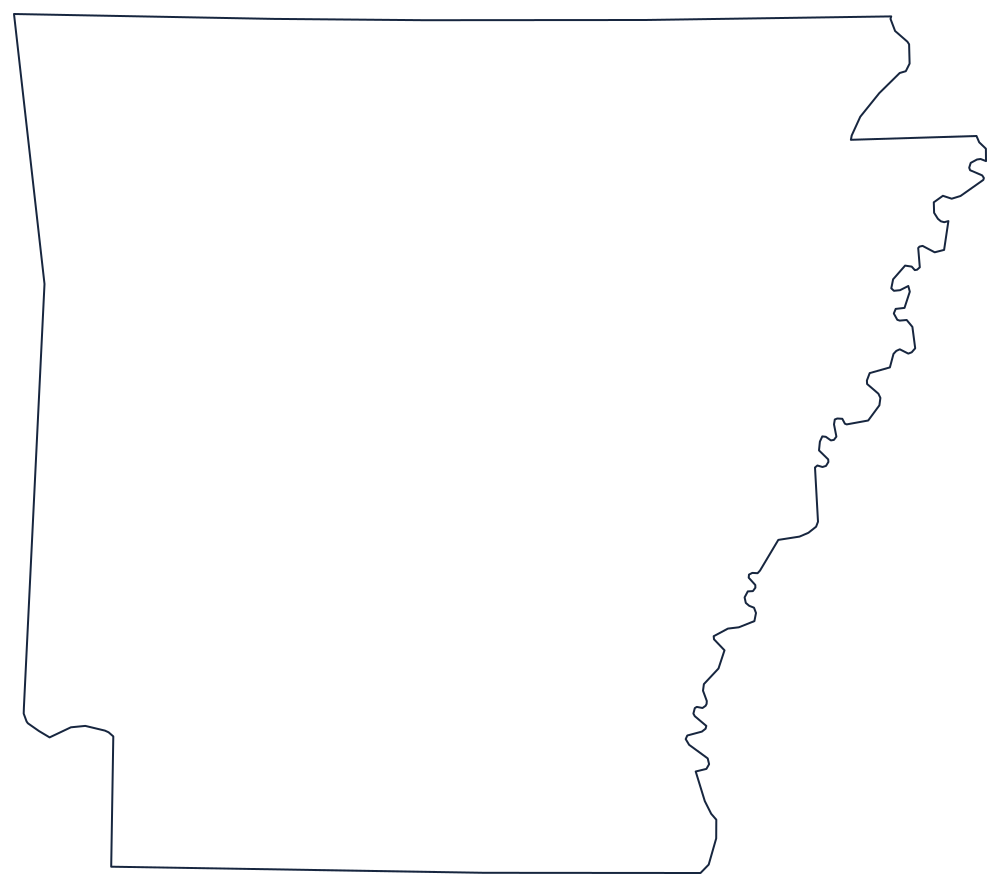
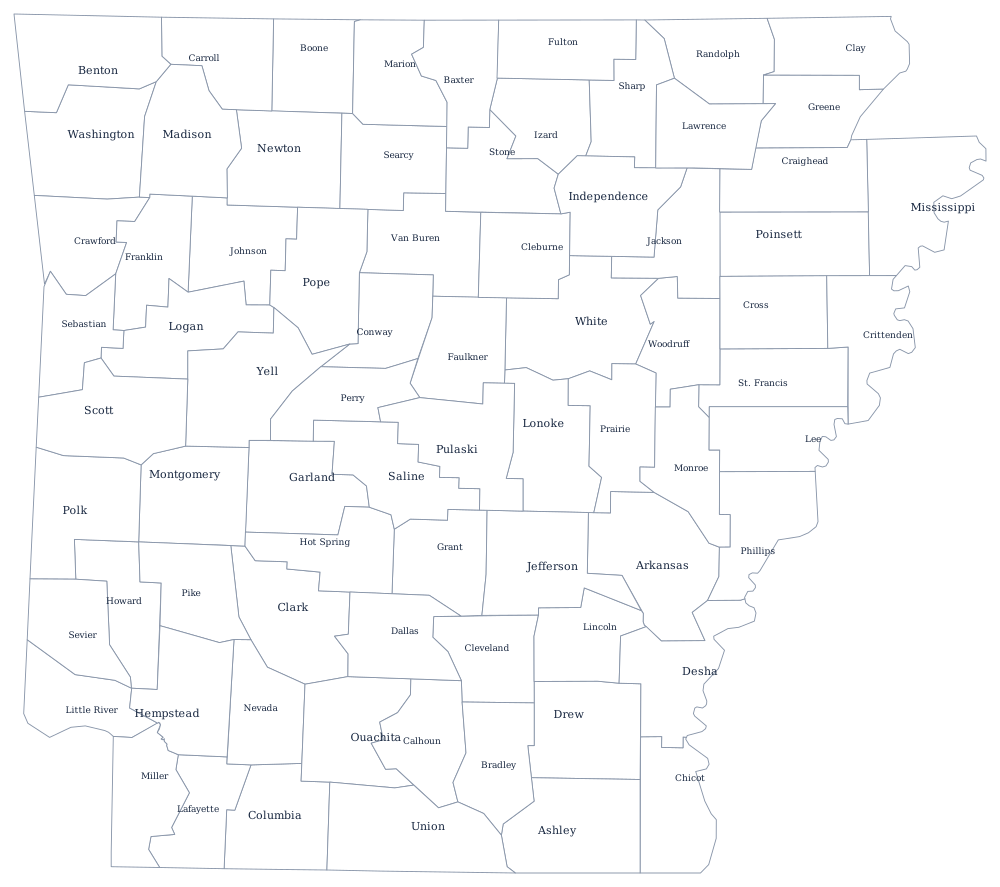
Print the outline for labeling the Ozarks, the Ouachitas and the Delta in three colors; the blank Arkansas map page explains what the state's borders follow. The county sheet carries all 75 boundaries.
Neighboring states
Arkansas touches six states; among its own neighbors only Missouri and Tennessee, with eight each, have more. The river separates it from Tennessee and Mississippi; surveyed lines separate it from Louisiana at the 33rd parallel, Texas and Oklahoma to the west. All six are compared side by side on the Southern region map.