Louisiana Map
Louisiana counts parishes rather than counties, and its southern edge is still being redrawn by the river. Capital: Baton Rouge. Largest city: New Orleans.
Louisiana at a glance
| Capital | Baton Rouge |
| Largest city | New Orleans |
| Abbreviation | LA |
| Population | 4,597,740 (2024 Census estimate) |
| Land area | 43,204 sq mi |
| Region | South (West South Central division) |
| Time zone | Central Time, statewide |
| Parishes | 64 parishes — Louisiana is the only state that calls its counties parishes, a survival of its French and Spanish ecclesiastical districts |
| Statehood | 1812 (18th state) |
| Borders | Arkansas, Mississippi, Texas, and the Gulf of Mexico |
Major cities
New Orleans is the largest city at 362,701 in 2024 and is coextensive with Orleans Parish, but the metropolitan population sits next door: Jefferson Parish, the suburban west bank and Metairie, held 427,253. Baton Rouge, the capital, anchors East Baton Rouge Parish at 453,022 and is the farthest inland deepwater port on the Mississippi — ocean ships stop there because the Huey P. Long Bridge downstream sets the air draft.
Lafayette Parish (254,241) is the center of Acadiana and the Cajun prairie; St. Tammany Parish (277,615) is the north-shore commuter belt across Lake Pontchartrain; Caddo Parish (224,893) holds Shreveport in the far northwest, closer to Dallas than to New Orleans. New Orleans is the state's only entry in the 100 largest US cities.
Geography
Below New Orleans the Mississippi River builds its own land. Sediment dropped at the mouth has extended three long fingers of marsh into the Gulf — the birdfoot delta — so the river now runs above the surrounding wetland between natural levees it made itself. Left alone it would already have abandoned that route: the Old River Control Structure above Baton Rouge exists to stop the Mississippi from switching into the shorter, steeper Atchafalaya, whose basin is the largest river swamp in the United States at roughly 1.4 million acres.
Almost nothing in Louisiana is high. Driskill Mountain in the northwest hills is the state's summit at 535 ft, and much of New Orleans lies below sea level behind levees. Lake Pontchartrain, a brackish estuary of about 630 square miles, is crossed by a causeway roughly 24 miles long. The Gulf coast here is not a line but a fraying fringe of marsh and barrier islands; the state has lost on the order of 2,000 square miles of coastal land since the 1930s as subsidence, canals and levees have starved the marshes of sediment. The Red River crosses the north, and the Sabine River forms the Texas border.
Printable Louisiana maps
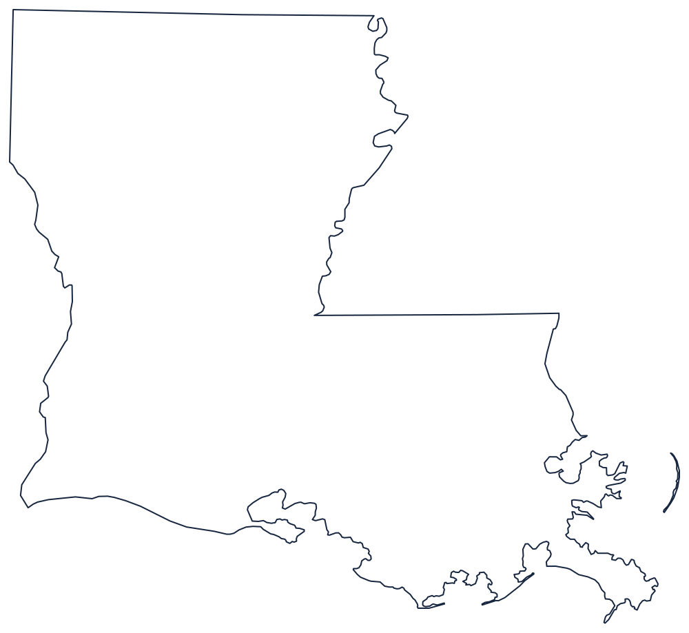
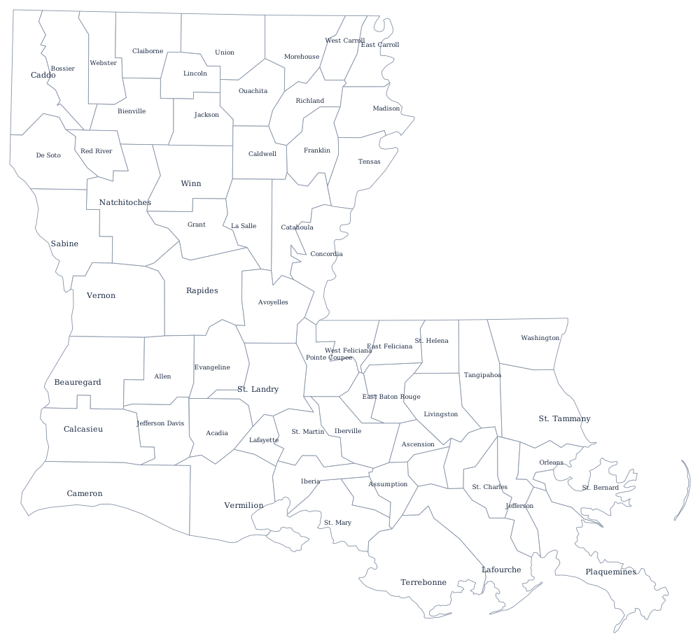
Louisiana's outline is the hardest in the South to draw, because the delta edge is genuinely fractal — the SVG above keeps the coastline generalised but honest. The blank Louisiana map page covers what the borders follow; the parish sheet has all 64.
Neighboring states
Three states border Louisiana. Texas is across the Sabine River and Sabine Lake; Arkansas is a straight run along the 33rd parallel; and Mississippi is separated partly by the Mississippi River and partly by the Pearl River, with a few parcels stranded on the wrong bank where the channel shifted. The wider grouping is on the West South Central division map.