Ozarks Map
The Ozarks are the only substantial highland between the Appalachians and the Rocky Mountains.
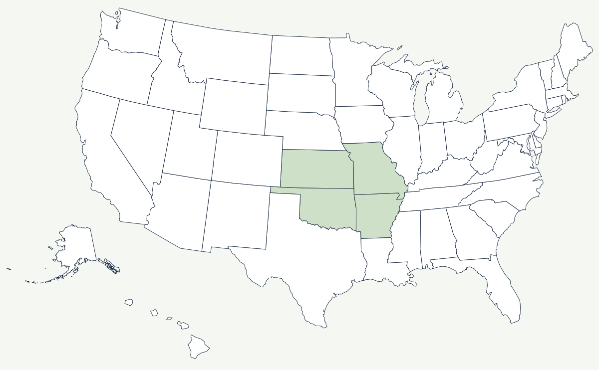
The Ozarks are not a mountain range in the way the Rockies are. They are a broad dome of limestone and dolomite that was pushed up and then cut apart by streams, so the high ground is what is left between the valleys rather than anything that was ever folded or thrust. That is why the hills all reach about the same height, why the rivers run in steep-walled valleys, and why the whole region is riddled with caves and springs.
Which states do the Ozarks cover?
Four. The largest share is in southern Missouri, where the plateau covers most of the state below the Missouri River. It continues south into northern Arkansas, where the Boston Mountains hold the highest and roughest country. The western edge reaches into northeast Oklahoma around the Illinois River, and a small corner extends into extreme southeast Kansas. The Arkansas River valley cuts the region's southern boundary; beyond it the Ouachita Mountains are a separate, east–west folded range, which is why maps that lump the two together look wrong to anyone who has driven through both.
| Type | a dissected plateau — uplifted and eroded, not folded |
| States | Missouri, Arkansas, Oklahoma and a corner of Kansas |
| Highest ground | the Boston Mountains of northern Arkansas, a little over 2,500 feet |
| Typical relief | a few hundred feet from valley floor to ridge top, repeated across the whole plateau |
| Bedrock | limestone and dolomite, which dissolve — hence the caves and springs |
| Notable spring | Big Spring near Van Buren, Missouri, one of the largest in North America by discharge |
| Largest reservoirs | Lake of the Ozarks on the Osage, Table Rock and Bull Shoals on the White River system |
Notable places in the Ozarks
The Buffalo River in Arkansas runs free for 135 miles beneath limestone bluffs and was designated the country's first national river in 1972, after a fight that stopped two proposed dams. Missouri's Ozark National Scenic Riverways, on the Current and Jacks Fork, was the first federally protected river system of its kind, set aside in 1964 and fed by some of the largest springs on the continent. Lake of the Ozarks, impounded by Bagnell Dam in 1931, has a shoreline longer than the California coast because it drowned a branching river valley rather than a basin. The commercial center of the region is Springfield, Missouri; Tulsa sits just off the plateau's western edge, and the northwest Arkansas towns of Bentonville, Rogers and Springdale grew into a metropolitan area on poultry processing and retail.
How the terrain shaped the economy
Thin, rocky soil on steep ground made large-scale row-crop agriculture impossible here, and that had political consequences. The Ozark counties held few enslaved people before the Civil War, and when the war came the region split against itself: Missouri stayed in the Union while much of its Ozark population did not, and the guerrilla fighting that followed was among the worst in the country. What the land did support was livestock, timber, and later poultry — the broiler industry that made northwest Arkansas wealthy exists because chicken houses do not need flat fields. Underground, southeast Missouri's lead deposits have been mined since French colonial times and have made the state the leading American producer for generations. The tourist economy came last, built on float streams, reservoirs and, at Branson, a music-theatre district that draws visitors to a town of a few thousand residents.
The plateau's southern edge is drained by the Arkansas River, and its northern and eastern runoff reaches the Mississippi and the Missouri. Its counterpart in the east is the Appalachian Mountains. See the physical geography of the United States, or the state pages for Missouri and Arkansas.