US Map / County Maps / Arkansas
Arkansas County Map
Ten of Arkansas's 75 counties have two county seats each, a nineteenth-century compromise the state never undid.
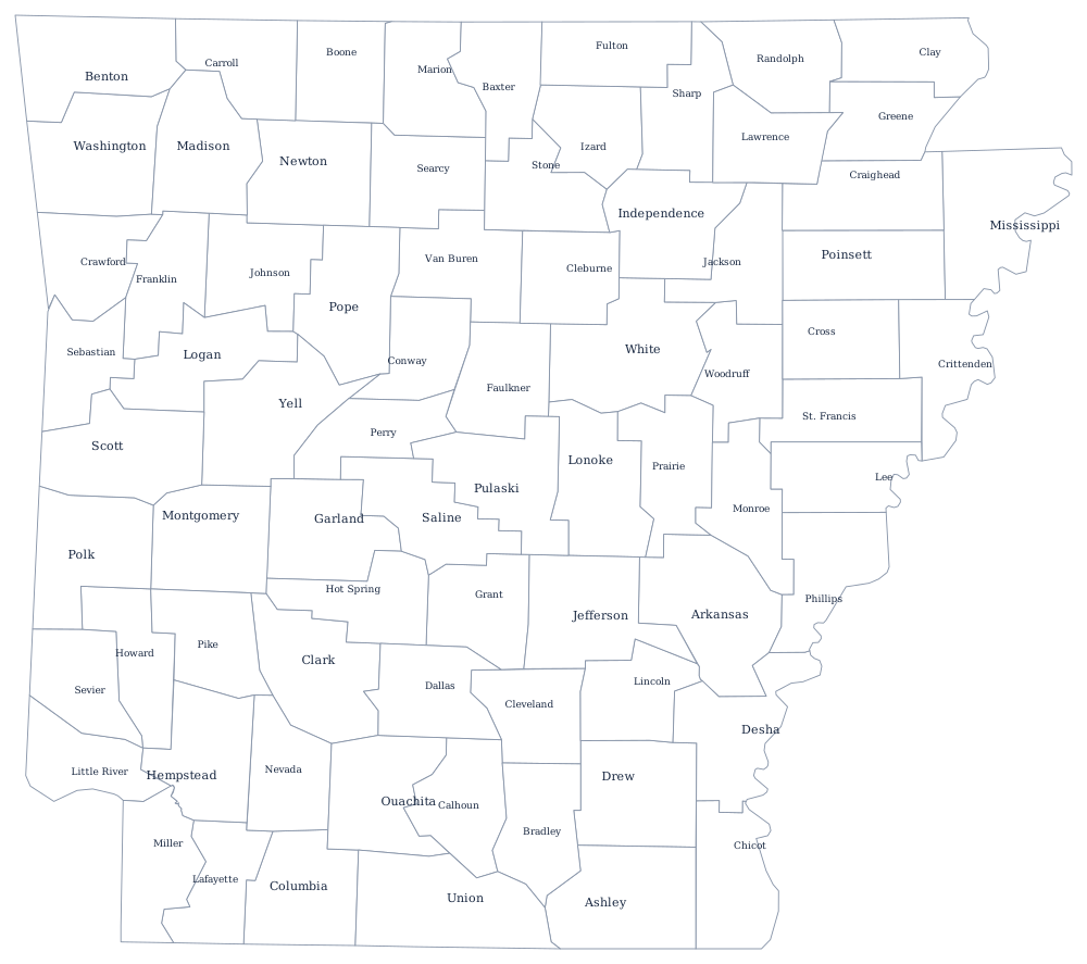
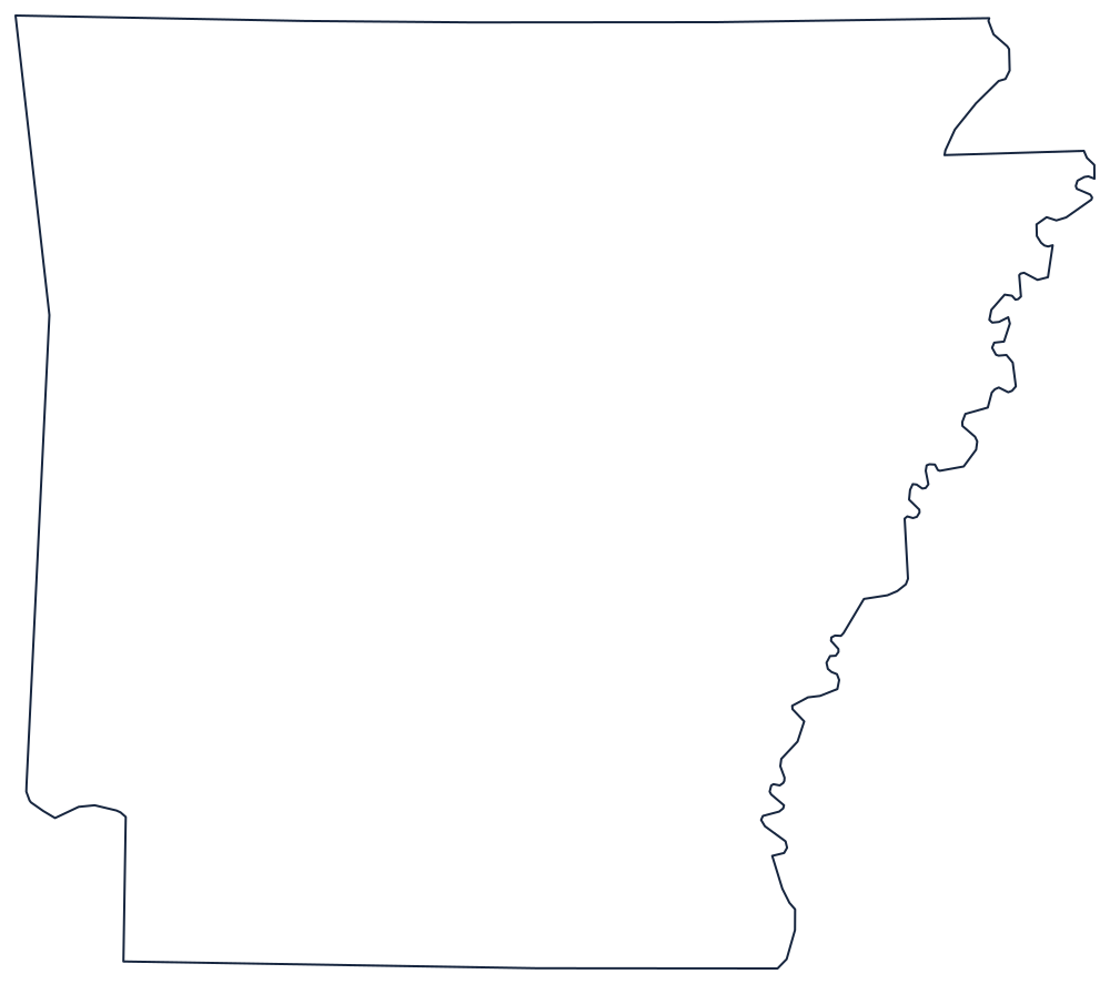
Arkansas divides neatly along a diagonal. North-west of a line from the Missouri border to Little Rock lie the Ozarks and the Ouachitas, where counties are compact and the boundaries were surveyed; south-east of it lies the Delta, where counties are longer, flatter, and edged by rivers. Pulaski County, holding Little Rock, sits almost exactly on the seam.
The 75 counties of Arkansas
Two of the three largest counties are in the north-west corner: Benton and Washington are the Fayetteville–Bentonville corridor, the fastest-growing part of the state.
| County | County seat or seats | Population (2024 estimate) |
|---|---|---|
| Pulaski County | Little Rock | 401,209 |
| Benton County | Bentonville | 321,566 |
| Washington County | Fayetteville | 266,184 |
| Faulkner County | Conway | 131,611 |
| Saline County | Benton | 131,252 |
| Sebastian County | Fort Smith and Greenwood | 130,035 |
| Craighead County | Jonesboro and Lake City | 115,852 |
| Garland County | Hot Springs | 99,902 |
| White County | Searcy | 79,091 |
| Lonoke County | Lonoke | 76,389 |
The state with two courthouses per county
Arkansas is the only state where dual county seats are common. Ten counties — including Sebastian, Craighead, Logan, Mississippi, and Yell — are split into two judicial districts, each with its own courthouse, its own circuit court sessions, and in some cases its own county clerk's office. The arrangement dates from the era when a citizen had to reach the courthouse and return home in a day: rather than split a county in two, the legislature simply built a second courthouse on the far side of a river or a mountain. That gives the state 75 counties but more than 80 working courthouses.
County government elsewhere in the state is conventional: an elected county judge acts as chief executive and presides over a quorum court of justices of the peace, which sets the budget and the millage. The county judge is an administrator, not a jurist — the judicial title is a holdover from the days when the same official ran both the county court and the county road crew.
Largest and smallest counties
Pulaski County, which contains Little Rock and North Little Rock, is the most populous at 401,209 in 2024, though Benton County in the north-west corner has been closing the gap for two decades and now stands at 321,566. The smallest is Calhoun County, 4,690 people in the timber country of the south. Union County, on the Louisiana line, is the largest by land area at roughly 1,040 square miles.
Cross the state line into Missouri, Tennessee, Mississippi, Louisiana, Texas, or Oklahoma, or go up a level to the Arkansas state page and the county map index. The Mississippi River page explains the eastern boundary that keeps moving.