New Mexico Map
A rift valley splits it top to bottom, and the only four-state corner in the country is its northwest tip. Capital: Santa Fe. Largest city: Albuquerque. Abbreviation: NM.
New Mexico at a glance
| Capital | Santa Fe |
| Largest city | Albuquerque |
| Abbreviation | NM |
| Population | 2,130,256 (2024 Census estimate) |
| Land area | 121,298 sq mi (the fifth-largest state) |
| Region | West (Mountain division) |
| Time zone | Mountain Time statewide, with daylight saving time observed — unlike neighboring Arizona, so for eight months of the year the two states run an hour apart. |
| Counties | 33 counties |
| Statehood | 1912 (47th state) |
| Borders | Arizona, Colorado, Oklahoma, Texas, and Utah — Utah is touched only at the Four Corners marker, the one point in the United States where four states meet, and New Mexico also runs about 180 miles along Mexico facing Chihuahua |
Major cities
Roughly a third of New Mexicans live in the middle Rio Grande valley around Albuquerque, which recorded 560,326 residents in 2024 in Bernalillo County and is by a long way the state's only large city. Rio Rancho has grown on the mesa across the river from it. Las Cruces in the Mesilla Valley is second, near the El Paso border crossing; Santa Fe, the capital, has about 89,000 people, sits at roughly 7,000 feet and is the highest and oldest state capital, founded in 1610. Farmington serves the San Juan Basin in the northwest, Roswell and Hobbs the oil country of the southeast. Albuquerque is New Mexico's only appearance on the 100 largest US cities list.
Geography
The Rio Grande rift runs the length of New Mexico: a line of down-dropped basins where the crust is pulling apart, with mountain blocks lifted along their edges. The Rio Grande follows it from the Colorado line south past Albuquerque and El Paso, and the Sandia Mountains, which rise more than 4,000 feet above the city, are the raised eastern shoulder of one of those basins.
Northern New Mexico belongs to the southern Rockies, where Wheeler Peak near Taos reaches 13,161 feet. The northwest is Colorado Plateau country of mesas and canyons; the east is high Great Plains broken by the Canadian River; and the southwest is Basin and Range desert. The Continental Divide crosses the western third. White Sands in the Tularosa Basin is a 275-square-mile field of gypsum dunes with no outlet, and Carlsbad Caverns in the southeast corner is dissolved out of a fossil Permian reef. New Mexico became the 47th state on 6 January 1912, five weeks before Arizona completed the contiguous 48.
Printable New Mexico maps
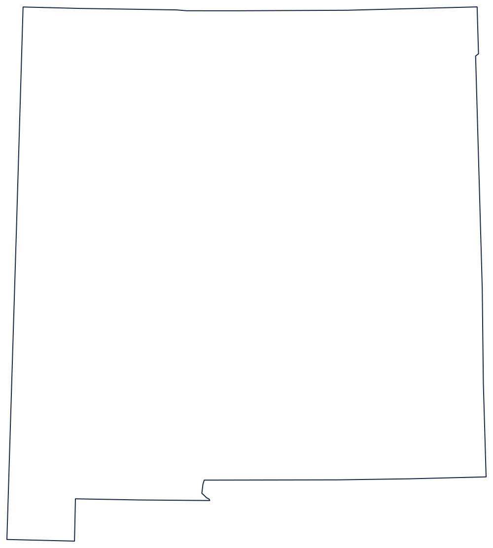
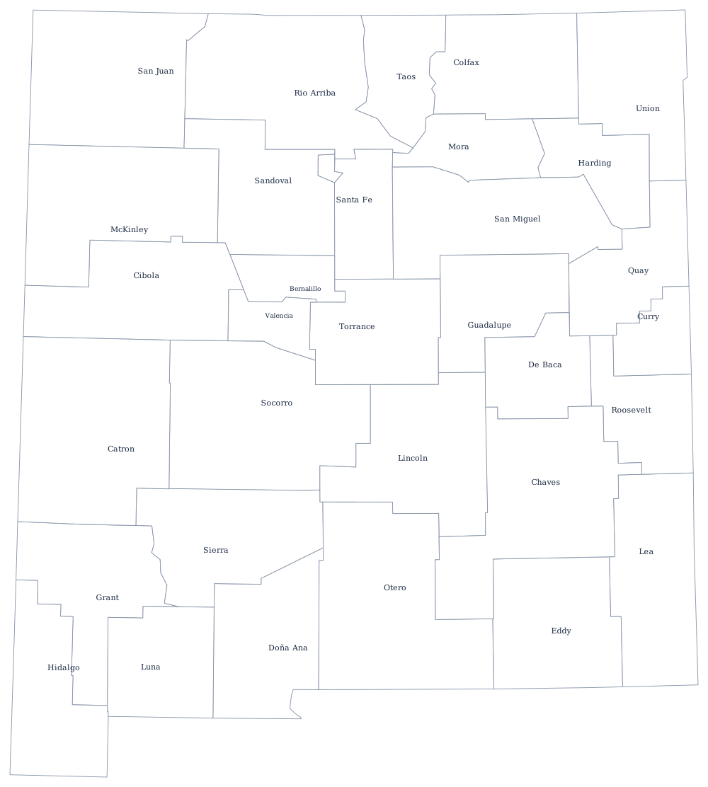
Apart from a short stretch of the Rio Grande below El Paso and a notch in the southwest, the whole outline is survey lines. The blank New Mexico map sets out which parallels and meridians they follow.
Neighboring states
Colorado is directly north along the 37th parallel, Arizona directly west along the 109th meridian, and Utah only at the Four Corners point. East and southeast, Texas wraps around two sides of the state, and Oklahoma caps the northeast corner with its panhandle. New Mexico anchors the southern end of the Mountain division; the Rio Grande page follows the river on into Texas.