US Map / County Maps / Arizona
Arizona County Map
Fifteen counties, and one of them contains 62% of the state's population.
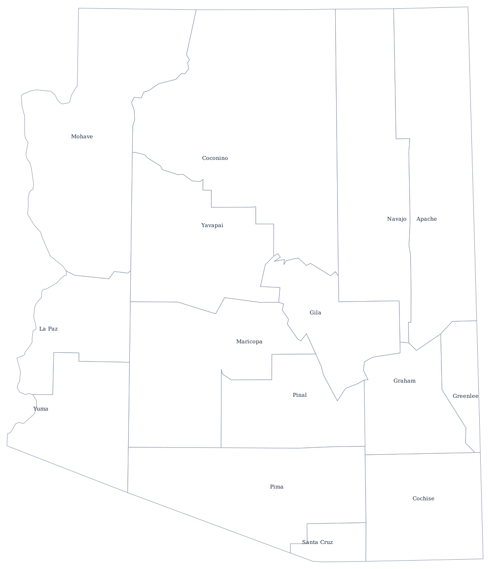
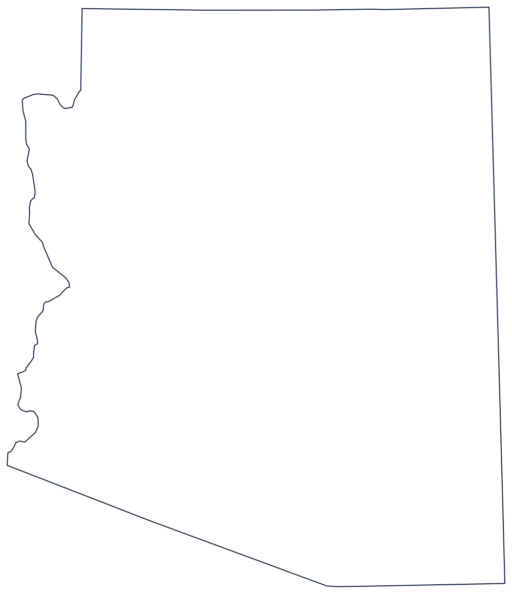
Arizona's county boundaries are mostly ruled lines. Four original counties were laid out in 1864, the year after the territory was created, and the rest were cut from them along meridians, parallels, and the occasional river as mining camps and irrigation districts grew. The Colorado River carries the entire western boundary, so Mohave, La Paz, and Yuma counties end where the water does.
The 15 counties of Arizona
Ten of Arizona's fifteen counties are listed below, and the top three alone hold 83% of the state's residents.
| County | County seat | Population (2024 estimate) |
|---|---|---|
| Maricopa County | Phoenix | 4,673,096 |
| Pima County | Tucson | 1,080,149 |
| Pinal County | Florence | 513,862 |
| Yavapai County | Prescott | 252,013 |
| Mohave County | Kingman | 226,479 |
| Yuma County | Yuma | 220,310 |
| Coconino County | Flagstaff | 145,161 |
| Cochise County | Bisbee | 125,773 |
| Navajo County | Holbrook | 109,516 |
| Apache County | St. Johns | 64,800 |
Big counties, few of them
Arizona has fifteen counties for 114,000 square miles, an average of more than 7,000 square miles apiece — roughly the size of New Jersey. Territorial legislatures had no reason to subdivide desert and forest that nobody farmed, and the state constitution of 1912 made creating new counties hard: it requires the consent of the voters in the area affected. The last one carved out was La Paz County, split from the northern half of Yuma County in 1983 after a local vote, and it remains one of the newest counties in the country.
Several county seats are far smaller than the county's biggest town, a leftover of mining history. Bisbee governs Cochise County although Sierra Vista has several times its population; Florence, a nineteenth-century territorial prison town, is the seat of Pinal County even as the Phoenix suburbs spread across its northern edge. Tribal land complicates the picture further: the Navajo Nation spans Apache, Navajo, and Coconino counties, and county government has limited authority inside reservation boundaries.
Largest and smallest counties
Maricopa County is the largest by population at 4,673,096 in 2024 — more people than 23 states — and it contains Phoenix, Mesa, Chandler, Glendale, Gilbert, and Scottsdale. Pima County, home to Tucson, is second at 1,080,149. The smallest is Greenlee County, 9,410 people in the copper country of the far east. Coconino County is the largest by land area at about 18,600 square miles, second in the nation only to San Bernardino County, California.
The Arizona state page covers the state's cities and landscape, and the county map index has the other 49. Adjacent county maps: New Mexico, Utah, Nevada, and California. The Colorado River page follows the water that draws the western county lines.