Hawaii Map
The only state made entirely of islands, the only one in the tropics, and the southernmost point of the country. Capital and largest city: Honolulu. Abbreviation: HI.
Hawaii at a glance
| Capital | Honolulu |
| Largest city | Honolulu |
| Abbreviation | HI |
| Population | 1,446,146 (2024 Census estimate) |
| Land area | 6,423 sq mi |
| Region | West (Pacific division) |
| Time zone | Hawaii-Aleutian Time, UTC−10 all year. Hawaii does not observe daylight saving time, so its gap to Pacific Time swings between two and three hours. |
| Counties | 5 counties — Hawaii, Maui, Honolulu and Kauai, plus Kalawao on the Kalaupapa peninsula of Molokai, which has no elected county government and is run by the state health department. |
| Statehood | 1959 (50th state) |
| Borders | None. The nearest state is California, about 2,400 miles east across open ocean; Hawaii is farther from the mainland than any other state. |
Major cities
Nearly seven Hawaiians in ten live on Oahu, and most of them in or around Honolulu, which recorded about 344,967 residents in 2024 in the urban district the Census Bureau counts. Honolulu County covers the whole of Oahu plus the Northwestern Hawaiian Islands, so the city and the county are not the same shape at all. Pearl City, Kailua and Kaneohe fill out the island's leeward and windward sides. Off Oahu the largest settlements are Hilo and Kailua-Kona on Hawaii Island, Kahului and Wailuku on Maui, and Lihue on Kauai — all towns rather than cities by mainland standards. Honolulu is the only Hawaiian entry on the 100 largest US cities list.
Geography
Hawaii has eight main islands — Hawaii, Maui, Oahu, Kauai, Molokai, Lanai, Niihau and the uninhabited Kahoolawe — strung along 400 miles of ocean, plus a further 1,200 miles of small northwestern islands and atolls. They are the exposed tops of shield volcanoes built over a stationary hotspot in the Pacific plate, which is why the chain gets steadily older to the northwest and why the only active volcanoes are at its southeastern end.
Mauna Kea on Hawaii Island reaches 13,796 feet above sea level and, measured from its base on the ocean floor, more than 33,000 feet from bottom to top. Mauna Loa beside it is the largest active volcano on Earth, and Kilauea on its southeast flank has erupted repeatedly in recent decades. Ka Lae, at the island's southern tip, is the southernmost land in the United States. The trade winds break against the windward slopes and leave the leeward sides dry, so a single island can run from rainforest to near-desert in twenty miles. Hawaii is also the only state whose land area still grows: lava reaching the sea from Kilauea has added new ground to the Pacific coastline repeatedly since 1983.
Printable Hawaii maps
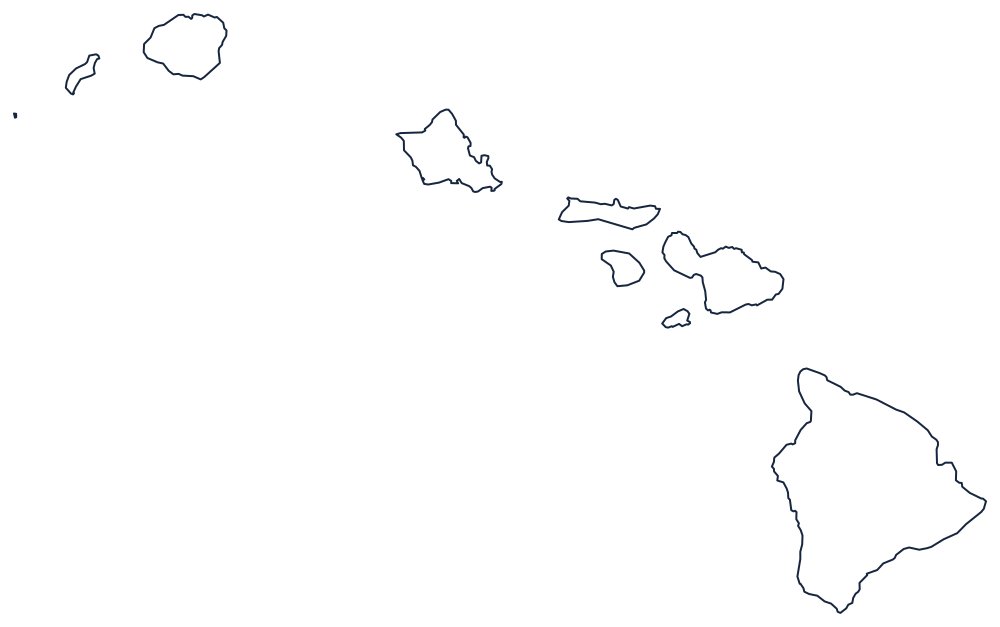
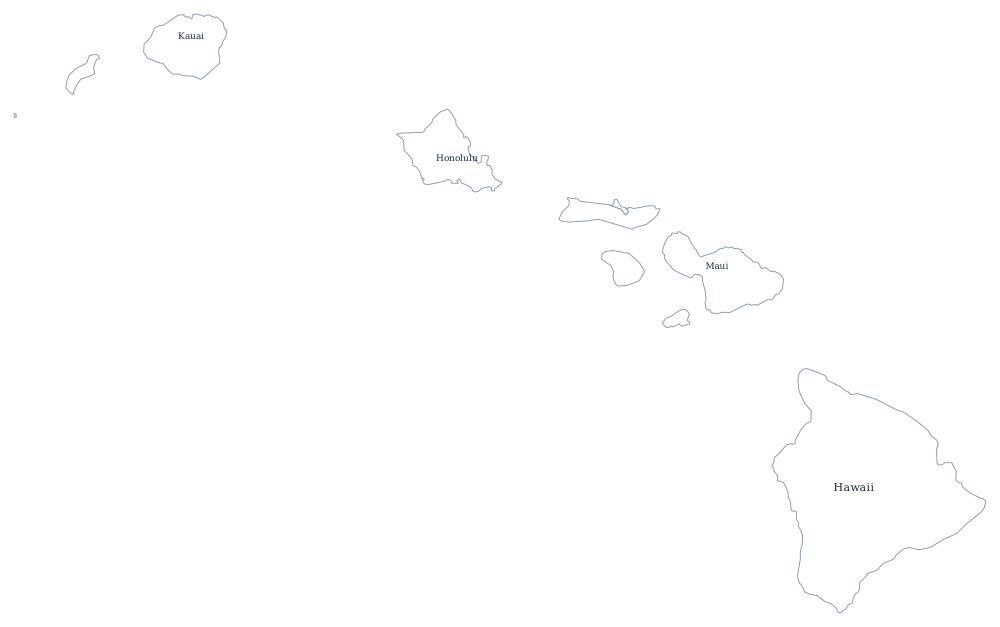
The outline sheet shows all eight main islands in their true relative positions, which most US wall maps do not — they usually place Hawaii in an inset off the coast of Mexico. The blank Hawaii map is set up for labeling the islands one by one.
Nearest states
Hawaii borders nothing, so its natural companions are the rest of the Pacific division: California, Oregon, Washington and Alaska, which joined the Union in the same year, 1959. Together the two of them are the reason US time zone maps need six panels rather than four. Back to the US map with states.