Washington Map
A rain forest, a volcano and a desert within 200 miles of each other. Capital: Olympia. Largest city: Seattle. Abbreviation: WA.
Washington at a glance
| Capital | Olympia |
| Largest city | Seattle |
| Abbreviation | WA |
| Population | 7,958,180 (2024 Census estimate) |
| Land area | 66,456 sq mi (the smallest western state apart from Hawaii) |
| Region | West (Pacific division) |
| Time zone | Pacific Time statewide, with daylight saving time observed. The state legislature voted in 2019 to stay on daylight time year round, which still requires an act of Congress to take effect. |
| Counties | 39 counties |
| Statehood | 1889 (42nd state) |
| Borders | Idaho, and Oregon — the northern boundary is the 49th parallel and the Strait of Juan de Fuca, facing British Columbia; Point Roberts, at the foot of a Canadian peninsula, is cut off from the rest of the state by land |
Major cities
Three Washingtonians in five live in the Puget Sound lowland. Seattle recorded 780,995 residents in 2024 in King County, on the isthmus between Puget Sound and Lake Washington; Tacoma is 30 miles south at the head of the Sound, Everett 25 miles north, and Bellevue, Kent, Renton and Federal Way fill the corridor between them. Vancouver, at the southern edge of the state, functions as part of the Portland metropolitan area across the Columbia. East of the mountains, Spokane is the regional center for an area reaching into Idaho and Montana, and the Tri-Cities of Kennewick, Pasco and Richland sit where the Snake joins the Columbia. Olympia, the capital, has about 56,000 residents at the Sound's southern tip. Seattle is the state's only entry on the 100 largest US cities list.
Geography
The Olympic Peninsula in the northwest is a mountain block surrounded on three sides by salt water, with Mount Olympus at 7,980 feet at its center. Its western valleys — the Hoh, the Queets, the Quinault — catch more than 12 feet of rain a year and hold the largest temperate rain forest in the contiguous United States. Fifty miles east, in the rain shadow of the same mountains, Sequim gets about 16 inches.
The Cascade Range runs north to south through the middle of the state, carrying Mount Rainier at 14,411 feet, the highest point in the range and the most heavily glaciated peak in the lower 48. Mount St. Helens lost about 1,300 feet of its summit in the eruption of 18 May 1980. East of the Cascades the land drops into the Columbia Basin, a plateau of layered flood basalt scoured by ice-age floods into the Channeled Scablands. The Columbia River loops through it in the Big Bend before turning south and then west to form the Oregon border, and Grand Coulee Dam on its upper course is the largest power station in the United States. Puget Sound itself is a glacially carved inlet with more than 1,300 miles of shoreline on the Pacific coast.
Printable Washington maps
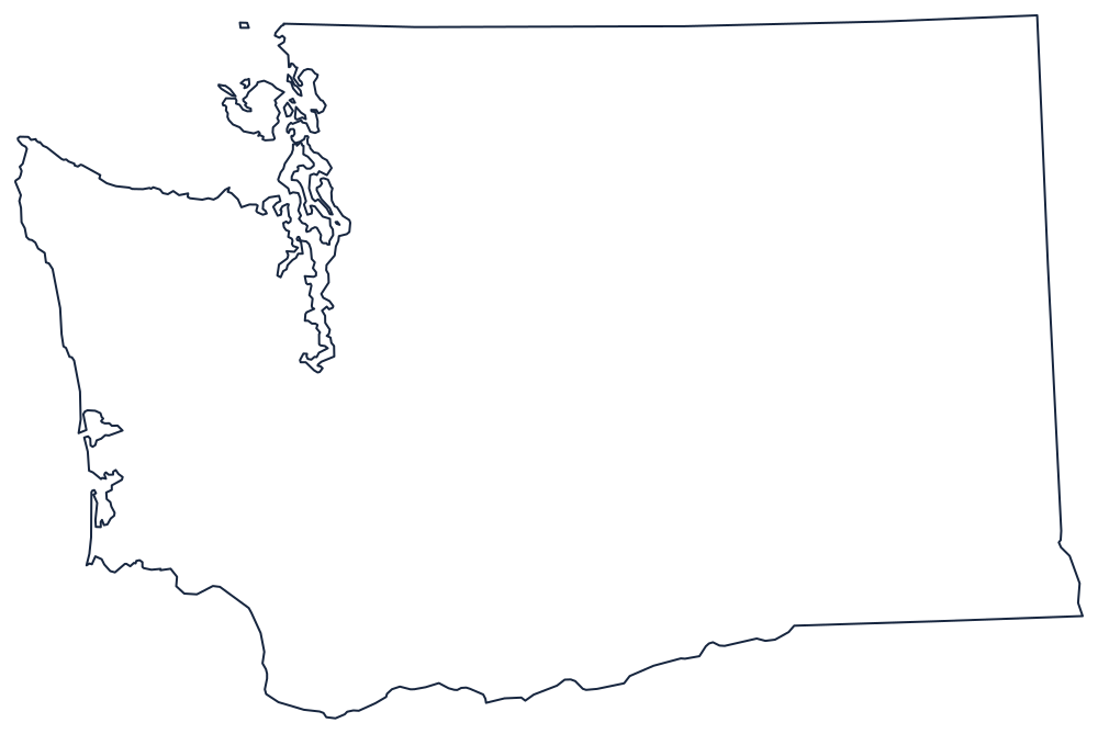
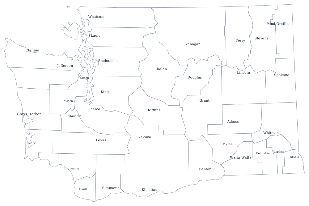
The outline shows the Olympic Peninsula and the San Juan Islands as well as the straight Canadian line along the top. See the blank Washington map for a note on Point Roberts and the water boundary.
Neighboring states
Washington has only two state neighbors, the fewest of any state in the contiguous West. Oregon lies across the Columbia to the south, and Idaho is east along the 117th meridian, with the Spokane and Coeur d'Alene areas functioning as one region across the line. Washington shares the Pacific division with Oregon, California, Alaska and Hawaii, and it is the only state named after a president. The Pacific time zone page covers the clock it keeps with them.