US Map / States / Pennsylvania
Pennsylvania Map
A rectangle interrupted by two rivers and a lake, folded lengthwise by the ridge-and-valley Appalachians. Capital: Harrisburg. Abbreviation: PA.
Pennsylvania at a glance
| Capital | Harrisburg |
| Largest city | Philadelphia |
| Abbreviation | PA |
| Population | 13,078,751 (2024 Census estimate) |
| Land area | 44,743 sq mi |
| Region | Northeast (Mid-Atlantic division) |
| Time zone | Eastern Time (UTC−5, UTC−4 in summer) statewide |
| Counties | 67 counties |
| Statehood | 1787 (2nd state) |
| Borders | Delaware, Maryland, New Jersey, New York, Ohio, West Virginia and Lake Erie |
Major cities
Pennsylvania has two metropolitan anchors at opposite corners and 300 miles of ridges between them. Philadelphia on the Delaware River had 1,573,916 residents in 2024, the sixth-largest city in the country, and its suburbs fill Montgomery, Bucks, Delaware and Chester counties. Pittsburgh (307,668) sits at the far western end where the Allegheny and Monongahela rivers join to form the Ohio. Allentown, Reading, Erie and Scranton come next, and Harrisburg — the capital since 1812 — is a small city on the Susquehanna in the middle of the state. Between the two big metros the population sits in valleys: the Lehigh Valley, the Wyoming Valley around Wilkes-Barre, the Cumberland Valley, and the anthracite towns of the northeast.
Geography
Almost everything about Pennsylvania’s interior follows the grain of the Appalachian Mountains. The ridge-and-valley province runs diagonally across the state as a series of long, narrow, parallel folded ridges — Blue Mountain, Tuscarora, Jacks — separated by farmed valleys, and roads and railways have always had to hunt for water gaps to cross them. West of the Allegheny Front the land rises into the dissected Allegheny Plateau, which holds the state’s high point at Mount Davis, 3,213 feet, and the bituminous coalfield. Drainage splits three ways: the Susquehanna, 444 miles long and the longest river on the American Atlantic seaboard, carries the center of the state south to Chesapeake Bay; the Delaware takes the east; and in the west the Allegheny and Monongahela meet at Pittsburgh to form the Ohio River, sending that water to the Gulf. A 50-mile strip of Lake Erie shoreline in the northwest corner — the Erie Triangle, bought from the federal government in 1792 — gives Pennsylvania a port on the Great Lakes and the sand spit of Presque Isle.
Printable Pennsylvania maps
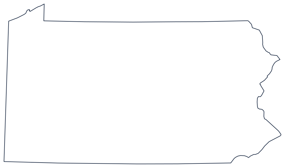
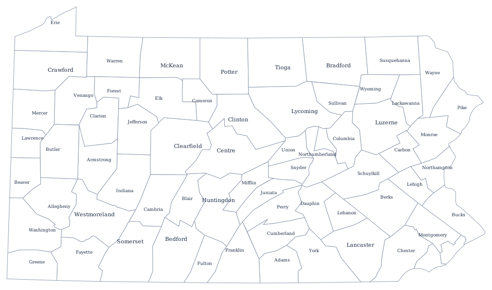
The straight north, west and part-south edges make Pennsylvania one of the simplest state outlines to trace freehand. The county file draws all 67 county boundaries as unlabeled outlines, ready to fill in. A larger printable sheet with notes on how the borders were drawn is at blank Pennsylvania map, and the populated version is on the Pennsylvania county map page.
Neighboring states
Six states touch Pennsylvania. New York sits on the 42nd parallel to the north, New Jersey across the Delaware to the east, Delaware at the twelve-mile arc in the southeast corner, Maryland along the Mason-Dixon Line surveyed in the 1760s, and West Virginia and Ohio to the south and west, the latter on a straight meridian. Read about the rest of the Mid-Atlantic division, see the whole US map with states, or drill the region with the Northeast map quiz.