US Map / County Maps / Hawaii
Hawaii County Map
Hawaii has five counties, no townships, no incorporated cities — and one county with 81 residents and no elected government.
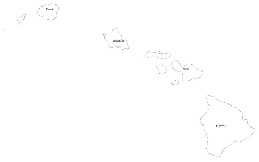
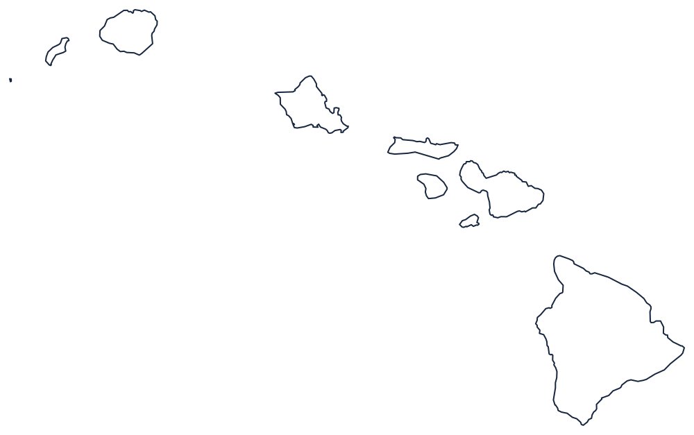
Hawaii has no municipal government at all. There are no incorporated cities, no towns, no townships and no villages with legal standing; the five counties are the only local governments in the state, and everything a city does elsewhere — police, fire, refuse, roads, parks, water, zoning — a Hawaii county does. Honolulu is not a city with a government of its own but a place name inside the City and County of Honolulu, which covers the whole of Oahu.
The five counties of Hawaii
The whole state fits in five rows. Kalawao has no county seat and no county government: it is administered by the state Department of Health, and its population is the residents and staff of the former Hansen's disease settlement at Kalaupapa.
| County | County seat | Population (2024 estimate) |
|---|---|---|
| Honolulu County | Honolulu | 998,747 |
| Hawaii County | Hilo | 209,790 |
| Maui County | Wailuku | 163,688 |
| Kauai County | Lihue | 73,840 |
| Kalawao County | None — administered by the state | 81 |
Five counties, one of them unlike any other
Four of the counties are conventional, if unusually powerful: a mayor and a council, an extraordinary range of services, and property tax as the main revenue. Maui County is the only one made of separate islands — Maui, Molokai, Lanai and uninhabited Kahoolawe — so its council reserves seats for each island's residency area. Honolulu County includes the whole 1,500-mile chain of the Northwestern Hawaiian Islands, which is why the county's official extent reaches nearly to Midway.
Kalawao County is the fifth and the strangest county in the United States. It consists of the Kalaupapa peninsula on the north shore of Molokai, cut off from the rest of the island by a 1,600-foot sea cliff, and it exists because the Kingdom of Hawaii quarantined people with Hansen's disease there from 1866. When the counties were organized in 1905 the settlement was given county status but no government: there is no mayor, no council and no county seat, and the sheriff's duties fall to the state health department. Its 12 square miles make it the smallest county in the United States by land area.
Largest and smallest counties
Honolulu County — the City and County of Honolulu, all of Oahu — has 998,747 residents in the 2024 estimates, 69% of the state, and contains Honolulu itself. Hawaii County, the island of Hawaii, is second at 209,790 and much the largest by land area at roughly 4,030 square miles, more than all the other counties put together and still growing where Kilauea erupts. Kalawao County is the smallest, 81 people on the Kalaupapa peninsula.
The Hawaii state page has the islands in more detail, and the county map index lists every state. Hawaii borders nothing, so compare it with the other Pacific states — Alaska, California, and Washington. The state keeps its own clock in the Hawaii-Aleutian time zone.