Alabama Map
Huntsville overtook Birmingham in the 2020s, so Alabama's largest city now sits on the Tennessee River rather than in the coalfields. Capital: Montgomery.
Alabama at a glance
| Capital | Montgomery |
| Largest city | Huntsville |
| Abbreviation | AL |
| Population | 5,157,699 (2024 Census estimate) |
| Land area | 50,645 sq mi |
| Region | South (East South Central division) |
| Time zone | Central Time, statewide |
| Counties | 67 counties |
| Statehood | 1819 (22nd state) |
| Borders | Florida, Georgia, Mississippi, Tennessee, and the Gulf of Mexico |
Major cities
Alabama spreads its population across four separate metros instead of one. Huntsville anchors the Tennessee Valley in the north, where decades of federal rocket and missile work at Redstone Arsenal pushed it past Birmingham. Birmingham grew up in the Appalachian foothills on iron ore, coal and limestone found within a few miles of each other, and its Jefferson County is still the state's most populous at 664,744 in 2024. Mobile, founded in 1702, holds the only deepwater port. Montgomery, the capital, sits on the Alabama River where the Piedmont gives way to the Black Belt.
No Alabama city ranks among the 100 largest in the country, so the growth shows up in county figures instead: Madison County around Huntsville reached 423,355 and Baldwin County, the beach counties east of Mobile Bay, 261,608. The full ranking is on the Alabama county map, and the biggest Southern cities are listed on the US cities map.
Geography
Alabama is arranged in bands that run southwest to northeast. The Appalachians end here: Cheaha Mountain, 2,407 ft, is the state's high point and one of the last summits in the chain, and the ridges peter out into the coastal plain below Birmingham. The fall line, where rivers drop off harder rock onto softer sediment, crosses near Tuscaloosa and just above Montgomery, and it fixed where the early river towns could be built. South of it lies the Black Belt, a crescent of dark prairie soil weathered from chalk.
The Tennessee River makes its great bend across the top of the state, entering from Tennessee, running west past Decatur and the shoals at Muscle Shoals, then turning north into Tennessee again. Everything else drains south: the Alabama and Tombigbee rivers join above the city of Mobile to form the Mobile River, whose delta empties into Mobile Bay. Alabama's slice of the Gulf coast is only about 53 miles of general shoreline, shorter than every Gulf state except Mississippi.
Printable Alabama maps
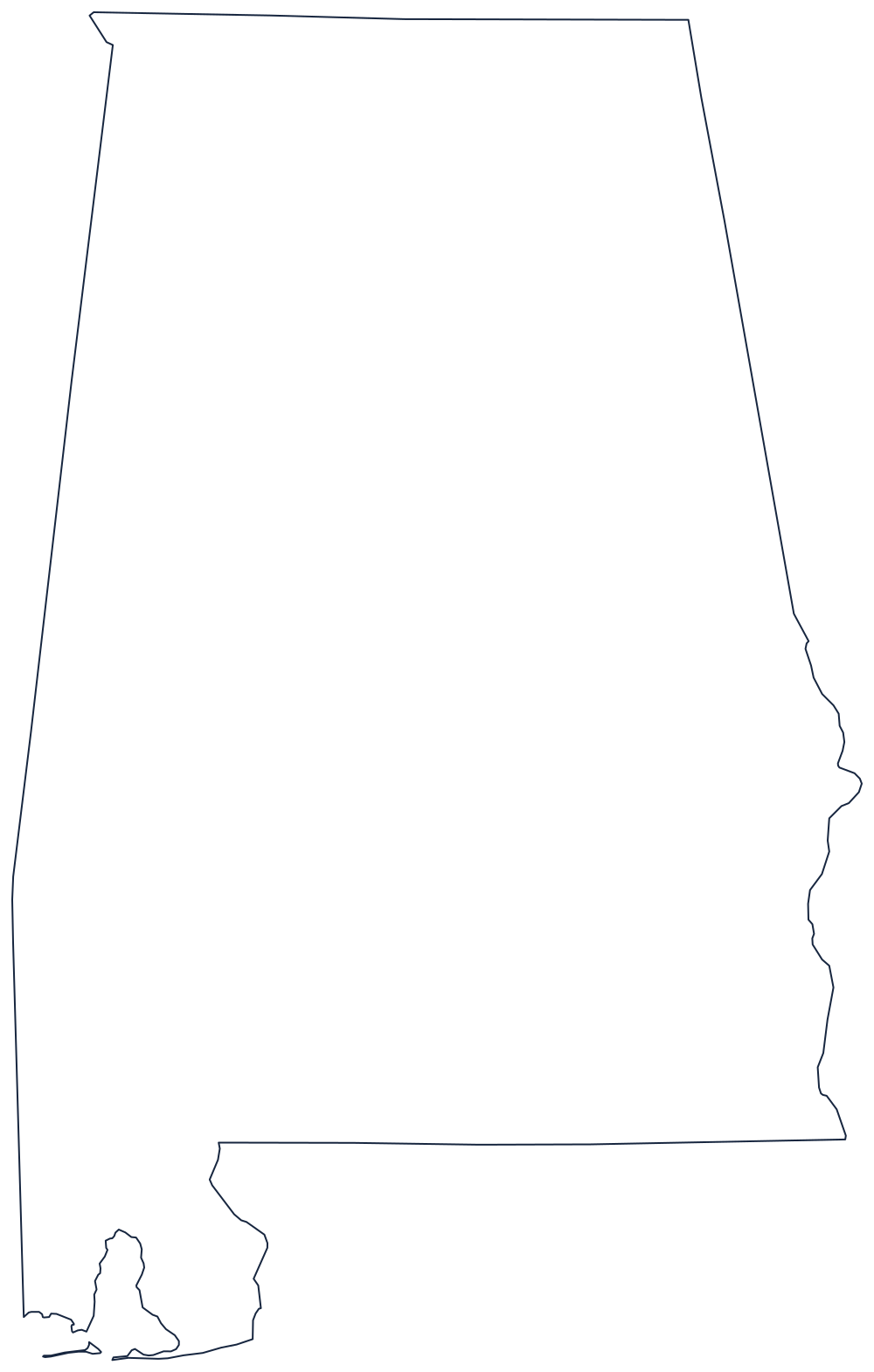
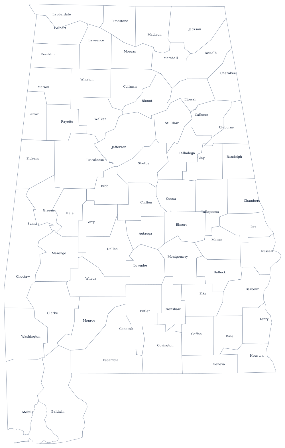
The outline above prints clean on Letter or A4 with no labels at all — the same file, with lesson notes, is on the blank Alabama map page. The county sheet adds all 67 boundaries for labeling work.
Neighboring states
The Georgia line follows the Chattahoochee River for its lower half; the Florida line runs along the 31st parallel until it drops down the Perdido River to the Gulf. Straight surveyed lines do the rest: Mississippi to the west and Tennessee along the 35th parallel to the north. Compare all four on the US map with states, or drill the Deep South on the Southern states quiz.