US Map / Geography / Gulf Coast
Gulf Coast Map
Almost the entire American Gulf shore is fronted by barrier islands, and none of them stay still.
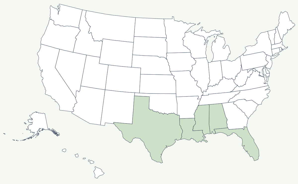
The Gulf Coast runs from the Rio Grande to the tip of Florida. It has no cliffs, almost no rock and very little relief: the land approaches sea level so gradually that the distinction between shore, marsh and open water is a matter of the week's weather. What protects it is a nearly continuous chain of low sand barrier islands, and what threatens it is that the same storms that build those islands also move them.
Which states are on the Gulf Coast?
Five. Texas has the longest stretch, from Brownsville up the barrier chain past Padre Island and Galveston to the Louisiana line. Louisiana holds the Mississippi delta and the marshes on either side of it — a shoreline so convoluted that its tidal length is many times its straight-line length. Mississippi has a short coast behind its own barrier islands, and Alabama a shorter one at Mobile Bay. Florida then takes the entire eastern half, from Pensacola around the Big Bend to the Keys.
| States | Texas, Louisiana, Mississippi, Alabama, Florida |
| General coastline | about 1,630 miles measured along the general trend of the shore |
| Tidal shoreline | roughly 17,000 miles once bays, sounds and estuaries are counted |
| Longest barrier island | Padre Island, Texas — about 113 miles |
| Largest delta | the Mississippi River delta, built and now retreating |
| Louisiana land loss | roughly 2,000 square miles of coastal land lost since the 1930s |
| Waterway | the Gulf Intracoastal Waterway, a protected barge channel from Brownsville to Florida |
Cities and ports on the Gulf
New Orleans sits about a hundred river miles inland on a crescent of the Mississippi, with much of the city below sea level behind levees and pumps. Houston is not on the coast at all; its port lies fifty miles inland at the end of a dredged ship channel, and that is the point — the channel was pushed through after the 1900 hurricane destroyed Galveston, and the city's oil refineries and petrochemical plants grew up along it. Corpus Christi handles crude exports on the Texas coast, and Tampa and St. Petersburg face each other across a bay on the Florida side, where the coast is limestone and mangrove rather than sand and marsh. Mobile was never the largest port on this coast, but its bay is the natural harbor Alabama was organized around, and the Alabama state line was drawn to reach it.
Hurricanes, oil and a coast that is disappearing
The Galveston hurricane of September 1900 killed something on the order of eight thousand people and remains the deadliest natural disaster in American history; it ended Galveston's career as Texas's leading port and made Houston's inland channel look like foresight. Camille in 1969, Katrina in 2005 and Harvey in 2017 each rewrote flood policy in turn. Between storms, the coast is being reshaped more slowly. Levees now carry the Mississippi's sediment past the marshes and out into deep water instead of spreading it across the delta, so the land that the river built is subsiding and the sea is taking it back — Louisiana has lost roughly 2,000 square miles since the 1930s, and the state's coastal restoration program is an attempt to redirect some of that sediment back. Offshore, the first well out of sight of land was drilled off Louisiana in 1947, and the Gulf has been the country's main offshore oil province ever since.
The river that built this coast is described on the Mississippi River page, and the coast's western end on the Rio Grande page. Around the Florida peninsula the shore becomes the Atlantic Coast, and inland it rises toward the Great Plains in Texas. See the physical geography of the United States, or the state pages for Louisiana and Florida.