Georgia Map
Georgia is the largest state by land area east of the Mississippi, and it divides that land into 159 counties — second only to Texas.
Georgia at a glance
| Capital | Atlanta |
| Largest city | Atlanta |
| Abbreviation | GA |
| Population | 11,180,878 (2024 Census estimate) |
| Land area | 57,513 sq mi |
| Region | South (South Atlantic division) |
| Time zone | Eastern Time, statewide |
| Counties | 159 counties — second only to Texas |
| Statehood | 1788 (4th state) |
| Borders | Alabama, Florida, North Carolina, South Carolina, Tennessee, and the Atlantic |
Major cities
Atlanta is the only Georgia city in the national top 100, at 520,070 in 2024, and that figure badly understates it: the city limits cover a small share of a metro that runs across four counties above three-quarters of a million people each — Fulton (1,090,354), Gwinnett (1,003,869), Cobb (787,538) and DeKalb (770,307). Atlanta exists because two railroads met there in the 1830s at the southern end of the Appalachian ridges, not because of a river or a harbor.
The rest of the state's cities line up on water. Savannah, in Chatham County (307,336), is the port at the mouth of the Savannah River. Augusta, Macon and Columbus each sit at the fall line, where boats from the coast had to stop. Athens, Albany and Valdosta fill in the south and east. The Georgia county map lists every one of the 159.
Geography
The Blue Ridge occupies the northern counties, where Brasstown Bald reaches 4,784 ft and the Appalachian Trail starts at Springer Mountain. South of the mountains the Piedmont rolls to the fall line — a curve through Columbus, Macon and Augusta where hard crystalline rock meets the coastal plain and every river breaks into shoals. Below it the coastal plain takes up more than half the state.
In the southeast corner the Okefenokee Swamp covers roughly 700 square miles of peat bog and cypress, and drains south into the Suwannee. Georgia's Atlantic coast is only about 100 miles long but is fronted by the Golden Isles — Cumberland, Jekyll, St. Simons, Sapelo — with the largest tidal range on the South Atlantic seaboard behind them. Two rivers do boundary duty: the Savannah and its headwater forks, which form the entire South Carolina line, and the Chattahoochee, which forms the lower half of the Alabama line. The Tennessee border is a straight line surveyed in 1818 that came out roughly a mile south of the intended 35th parallel, an error Georgia has tried to correct more than once.
Printable Georgia maps
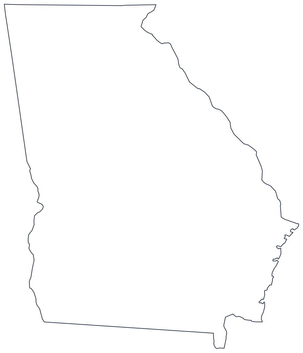
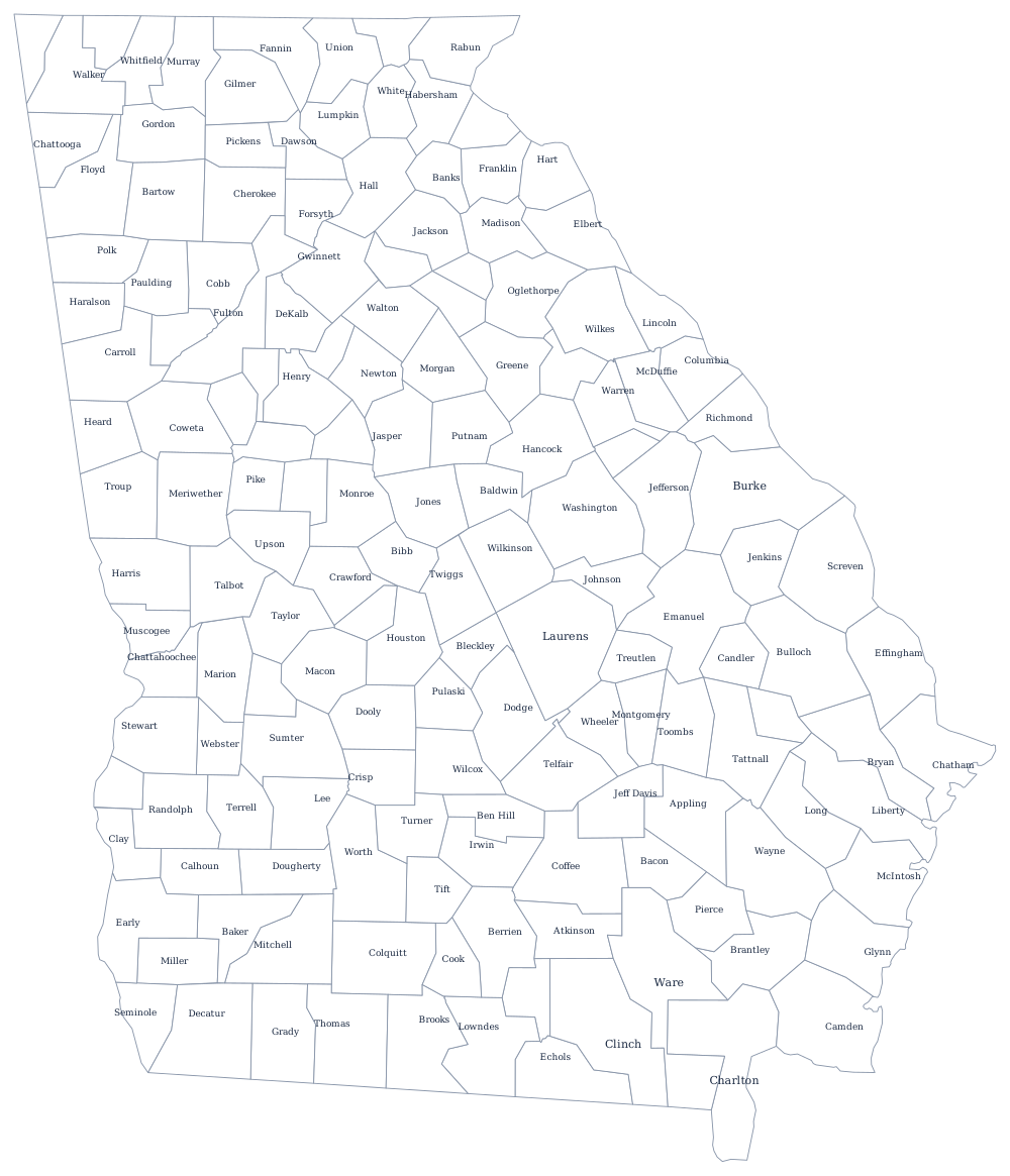
Two files sit behind the buttons above: a plain state outline and the full 159-county sheet, which is about as much detail as a Letter page will hold. The blank Georgia map page has the same outline sized for classroom printing.
Neighboring states
Georgia touches five states. Tennessee and North Carolina meet it along the mountain crest in the north, South Carolina across the Savannah River, Florida to the south and Alabama to the west. All five, plus the rest of the region, are drawn together on the South Atlantic division map.