Wisconsin Map
Two Great Lakes, and the largest share of the corner of the Midwest the last glaciers went around. Capital: Madison. Largest city: Milwaukee.
Wisconsin at a glance
| Capital | Madison |
| Largest city | Milwaukee |
| Abbreviation | WI |
| Population | 5,960,975 (2024 Census estimate) |
| Land area | 54,158 sq mi |
| Region | Midwest (East North Central division) |
| Time zone | Central Time statewide |
| County count | 72 counties |
| Statehood | 1848 (30th state) |
| Borders | Michigan, Illinois, Iowa and Minnesota, with Lake Superior on the north and Lake Michigan on the east |
Major cities
Milwaukee (563,531 in 2024) on Lake Michigan is the largest city; Milwaukee County counted 924,740 people, with Waukesha County's 417,029 next door. Madison (285,300) is second and the capital — built on the isthmus between Lakes Mendota and Monona, and chosen in 1836 when the city existed only as a plat on paper owned by the man who proposed it. Green Bay, at the mouth of the Fox River, is the third city and the oldest European settlement in the state. Kenosha and Racine line the Lake Michigan shore between Milwaukee and the Illinois border; Appleton and Oshkosh sit on the lower Fox and Lake Winnebago, the largest lake entirely inside Wisconsin; Eau Claire and La Crosse hold the west, La Crosse on the Mississippi.
Geography
The last ice sheet is named for this state — the Wisconsin Glaciation, after the deposits first worked out here — and it covered everything except the southwestern quarter. That unglaciated corner, the Driftless Area, has no till, almost no natural lakes and very little flat ground: instead, branching valleys cut deep into sandstone and dolomite, with the Mississippi running between bluffs up to 500 feet high along the Iowa and southern Minnesota border. Wisconsin holds the largest part of the Driftless Area, which continues into three neighboring states.
The rest of the state carries the full glacial kit: the Kettle Moraine's gravel ridges southeast of Madison, drumlin fields, and thousands of lakes across the north. Wisconsin fronts Lake Superior at the top, including the Apostle Islands, and Lake Michigan on the east, where the Door Peninsula separates the bay of Green Bay from the open lake. Timms Hill in Price County, 1,951 feet, is the high point. The straight southern boundary at 42°30′ north is not the line the Northwest Ordinance drew: Congress moved it north in 1818 so that Illinois would reach Lake Michigan, and Chicago ended up on the Illinois side of it.
Printable Wisconsin maps
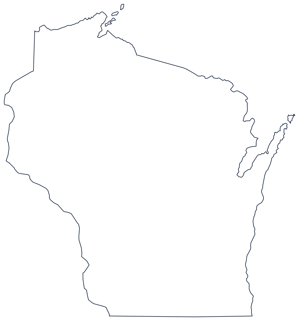
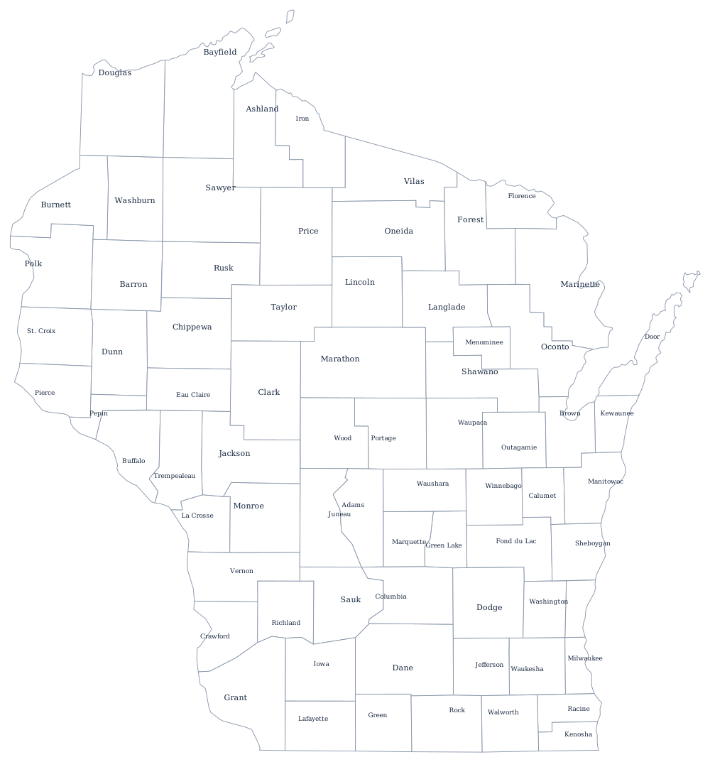
The outline shows the two lakes doing most of the work, with the Door Peninsula hooking north and the Mississippi ragged down the west. The blank Wisconsin map page prints it clean, and the Wisconsin county map covers all 72 counties.
Neighboring states
North and east across the Menominee and Montreal rivers is Michigan; south across the surveyed 42°30′ line is Illinois; west across the Mississippi is Iowa, and northwest across the St. Croix is Minnesota. Wisconsin is one of the five East North Central states of the Midwest. For the whole country see the US map with states; for practice, the Midwest map quiz covers all twelve.