New Jersey Map
The most densely populated state in the country, and one whose only overland border is with New York — every other edge is water. Capital: Trenton.
New Jersey at a glance
| Capital | Trenton |
| Largest city | Newark |
| Abbreviation | NJ |
| Population | 9,500,851 (2024 Census estimate) |
| Land area | 7,354 sq mi |
| Region | Northeast (Mid-Atlantic division) |
| Time zone | Eastern Time (UTC−5, UTC−4 in summer) statewide |
| Counties | 21 counties |
| Statehood | 1787 (3rd state) |
| Borders | Delaware, New York, Pennsylvania (only the New York line is overland) and the Atlantic Ocean |
Major cities
At about 1,292 people per square mile, New Jersey is the densest state in the union, and the density is not evenly spread: it piles up in two corridors, one facing New York Harbor and one facing Philadelphia. Newark (317,303 in 2024) and Jersey City (302,824) are the two largest cities, about five miles apart across the Hackensack Meadowlands, and Paterson and Elizabeth sit alongside them. Bergen, Hudson, Essex, Passaic and Union counties form one nearly continuous built-up area. In the south, Camden and Cherry Hill face Philadelphia across the Delaware. Trenton, the capital, is between the two at the head of navigation on the Delaware River. The shore towns from Point Pleasant to Cape May and the farm country of Salem and Cumberland counties are the empty quarters by comparison.
Geography
New Jersey is four landscapes stacked northwest to southeast. The Kittatinny Ridge in the far northwest is the state’s share of the Appalachian Mountains and carries High Point, 1,803 feet; the Delaware River saws straight through it at the Delaware Water Gap. Southeast of that come the Highlands and then the Piedmont, whose eastern margin is the fall line running through Trenton and New Brunswick — the reason both cities are where they are. Beyond it the Atlantic coastal plain takes up more than half the state, including the Pine Barrens, over a million acres of pitch pine and sand sitting on the Kirkwood-Cohansey aquifer. The shore itself is about 130 miles of barrier islands and back bays on the Atlantic coast, ending at Cape May. The Delaware River, undammed along its whole main stem, defines the western side from the Water Gap to Delaware Bay, and the Hudson defines the northeast, with the basalt cliffs of the Palisades rising directly from its west bank.
Printable New Jersey maps
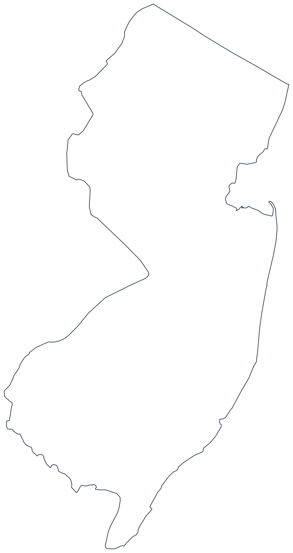
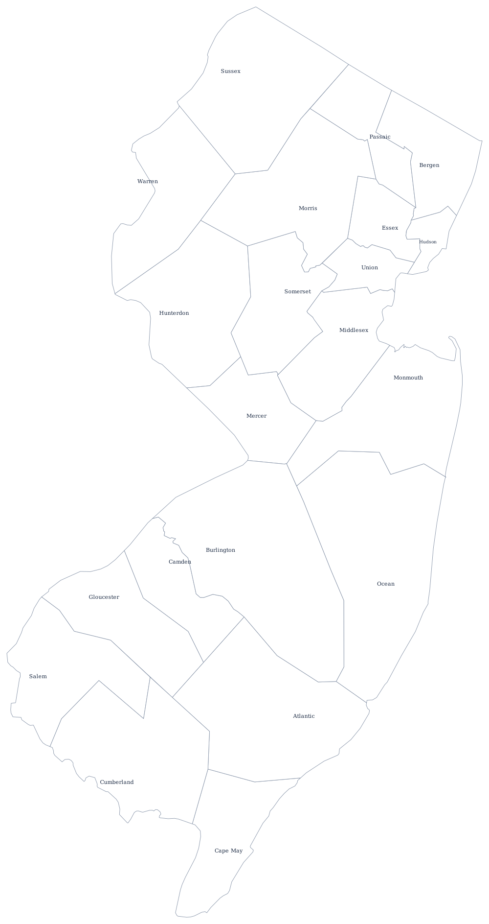
The outline shows how much of the state’s edge is river and bay rather than survey line. The county file draws all 21 county boundaries as unlabeled outlines, ready to fill in. A larger printable sheet with notes on how the borders were drawn is at blank New Jersey map, and the populated version is on the New Jersey county map page.
Neighboring states
Only New York shares an overland boundary with New Jersey, along the surveyed line from the Hudson to the Delaware fixed in 1773. The line with Pennsylvania is the Delaware River, and the one with Delaware is stranger still: inside the twelve-mile circle drawn around New Castle, Delaware’s territory runs all the way to the low-water mark on the New Jersey shore, so the river there is not shared. Read about the rest of the Mid-Atlantic division, see every state on the US states map, or take the Northeast map quiz.