US Map / Geography / Great Salt Lake
Great Salt Lake Map
The lake has no outlet, so everything the rivers carry into it stays there.
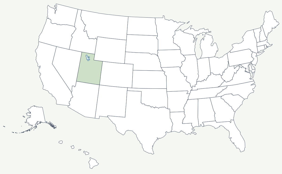
The Great Salt Lake sits in the lowest part of a closed basin in northern Utah, about 4,200 feet above sea level. Three rivers — the Bear, the Weber and the Jordan — flow in and nothing flows out, so the only way water leaves is by evaporation, and the salt the rivers carry accumulates. It is the largest saltwater lake in the Western Hemisphere, and its size is not a fixed number: a shallow lake in a flat basin changes area enormously with a few feet of depth.
Where is the Great Salt Lake, and what surrounds it?
Entirely within Utah, northwest of Salt Lake City and west of the Wasatch Range. The mountains of the Wasatch front rise steeply along its eastern side, which is where nearly all of the state's population lives; to the west the basin flattens into the Great Salt Lake Desert and the Bonneville Salt Flats, running to the Nevada line. Antelope Island, the largest island in the lake, is joined to the mainland by a causeway. The basin sits inside the Great Basin, the region between the Sierra Nevada and the Rocky Mountains where no water reaches the sea.
| State | Utah — the whole lake |
| Type | terminal lake: inflow but no outlet |
| Inflowing rivers | Bear, Weber and Jordan |
| Surface elevation | around 4,200 ft, varying by several feet from year to year |
| Surface area | historically averaging roughly 1,700 square miles; near 3,300 in the wet mid-1980s and under 1,000 at the record low of November 2022 |
| Depth | shallow — an average of about 14 feet, with a maximum around 33 feet |
| Salinity | several times that of the ocean, and far higher in the north arm than the south |
| Ancestor | Lake Bonneville, which covered much of western Utah and stood about 1,000 feet higher |
Two lakes in one basin
In 1959 the Southern Pacific replaced its wooden Lucin Cutoff trestle with a solid rock causeway across the lake, and in doing so split it in two. The southern arm receives nearly all the river inflow and stays comparatively fresh; the northern arm gets very little, evaporates down, and has become so saline that the halophilic microbes living in it turn the water pink — a color difference visible from orbit and the reason satellite photographs of the lake look retouched. Brine shrimp are harvested from the southern arm for aquaculture feed, and mineral companies evaporate the brine in shoreline ponds for salt, magnesium and potash. Along the Wasatch front the lake's other product is snow: cold air crossing open water picks up moisture and drops it on the canyons above Salt Lake City, which is the physical basis of the local ski industry.
A shrinking lake and the shorelines above it
The horizontal benches cut into the mountainsides above the valley are wave-cut terraces from Lake Bonneville, the Ice Age lake that filled this basin and drained catastrophically northward about 18,000 years ago. Once you know what they are, you can see them from every street in the valley. The modern lake is a remnant, and it has been getting smaller: upstream diversion for farms and cities takes water that would otherwise reach it, and in November 2022 the surface fell to the lowest level ever recorded, exposing hundreds of square miles of lakebed. The exposed sediment carries arsenic and other metals, and windstorms lift it toward the metropolitan area downwind, which has turned a limnological problem into a public-health one and produced emergency water legislation in the state.
The lake lies in the basin between the Rocky Mountains and the Sierra Nevada, and its desert southwest continues into the Mojave Desert. Water that misses this basin by a few miles ends up in the Colorado River. See the physical geography of the United States, or the state page for Utah.